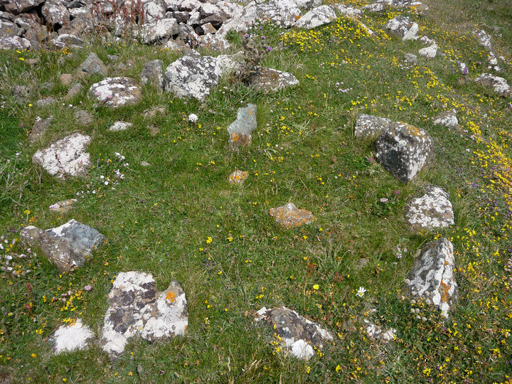
Looking SW towards the newly-erected windfarm and the cairns of Mynydd Ty’n-tyle.

Looking east across the Rhondda Fach. The valley floor is not visible from the cairn.

Cairn I (NW), an inconspicuous mound concealing a gem of a cist.

The breathtaking summit setting of the cairn, above plunging cliffs.

Picws Du (centre) seen from the summit of Waun Lefrith to the WSW.


Grooves on either side of the stone.

The northern aspect. Certainly no manure now.

Landscape setting, seen from the NNE. The stone overlooks the Towy estuary. Llansteffan hillfort/castle can be seen across the river.


Summer’s morning reprise of previous evening’s view. The hilllfort/castle is centre.

Summer sunset over Llansteffan, from Ferryside on the opposite bank of the Towy.

Llansteffan Castle/hillfort across the Towy from Ferryside.

Illustration of bronze age find from the barrows, shown on information board in Llansaint village.

Court Wood, seen from NNW across Pembrey Airfield.

Wooded and prominent, Court Wood seen from the SSW.


The side stones in the chamber itself have several semi-circular gaps along their edges.

Posted to show that the two front facade stones do not rest on the uprights. They are earthfast and rely only on their sockets to keep them from falling over.


Some days on Zennor Hill it helps to already know the way...


F3, looking out to sea.

F4, one of the less well-preserved houses in the southern group.
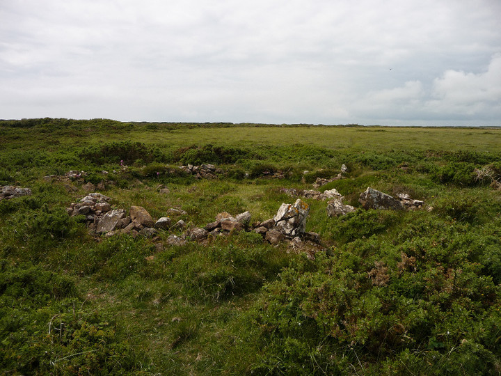
F3, the largest of the round house structures in the group.

The southern part of the settlement is built around this prominent rock outcrop.


The best preserved of the round houses in the southern settlement (I think it’s F1 on the plan).

Hut A1 (see plan).

Ivor Thomas’ 1960 plan of the southern (enclosed) part of the settlement, from the info board on site.


The centre of the large barrow.