
Not the most impressive standing stone in the world, but in a great location surrounded by lots of other prehistoric remains. Settlement site indicated, and Carn Ffoi hillfort is on the skyline (right).
Image credit: A. Brookes (24.9.2014)

Not the most impressive standing stone in the world, but in a great location surrounded by lots of other prehistoric remains. Settlement site indicated, and Carn Ffoi hillfort is on the skyline (right).

The fort from the northeast, as the watery sunshine of the morning turns to a gloomier autumn afternoon.

The steep eastern end of the fort, looking down on Pwll y Wrach/The Witches Cauldron, a collapsed sea cave that can be seen over on the right.


Coastal erosion has taken chunks out of the enclosed area. Looking NE towards Cemaes Head.

The seaward part of the enclosed area is connected to the cliffs by a very narrow, crumbling ridge. We didn’t think it was worth trying to cross.


Landscape context. This is one of the most isolated stretches of the Pembrokeshire Coast path, with no exits from the cliffs from the fort (indicated) all the way to Newport Sands. Cemaes Head in the distance.

Mynydd Carningli seen across Newport Bay from Cyfrwy. The hillfort is in the craggy eastern outcrops (left), Carn Briw round cairn is on the highest point of the ridge (centre).


Autumn (almost) Equinox evening.


What a superb dolmen, despite the slightly odd suburban setting.

Early autumn, early evening, the perfect end for a long walk.

I do like a nice bit of heavy duty signage, none of your flimsy multimedia info boards here.

Mynydd Carningli dominates the skyline above Newport Bay. As well as the terrific fort, the summit of the hill boasts a very decent Bronze Age round cairn.

The northern flank drops over sheer cliffs to a small bay with no obvious access to or from land.

The southern flank of the fort overlooks the sheltered little harbour of Pwllgwaelod. Carningli rises far left skyline.

The fort enjoys commanding and extensive views across Fishguard Bay to Strumble Head.

Dinas Island (it’s not an island) and Pen Castell seen from the WSW.

The heavily eroded Penrhyn Erw-Goch headland in the foreground. The remains of a possible cliff fort are fragmentary. Dinas “Island” is beyond, with the position of a further fort indicated.

Artfully concealing the Expressway of Death.

Postie on scale duty again.

Decent barrow, worth risking near-death for.


The cairn is set back from the cliffs, so as to be invisible from the valley floor.

Y Glyderau to the left, Yr Wyddfa to the right. Superb setting for this cairn.

The scooped out centre, with a brooding Moel Eilio beyond.


Looking across the Menai Strait to Ynys Mon.

Postie for scale, Yr Wyddfa for backdrop, what’s not to like?

Wrecked it might be, but this huge monument on its high summit still more than justifies the effort of a visit.

As well as the usual collection of wind shelters, someone has fashioned this little kerbed cairn from the original one. Nantlle Ridge ahead, I think the mountains over on the far left will be the Moelwyns(?).

With the likely extent of the original cairn in the foreground. Moel Eilio (with another badly damaged Bronze Age cairn) rises beyond, Y Glyderau over to the right.

Looking NW towards the Menai Strait and Ynys Mon beyond.

Looking across the scooped out centre of the cairn towards the Nantlle Ridge (boasting plenty more Bronze Age cairns itself).

There is a big footprint under all the modern disturbance.

Landscape context for the settlement in its steep-sided valley. Seen over the cliffs of Craig y Bera on Mynydd Mawr. The Nantlle Ridge fills the whole backdrop.

Seen from the north with the rest of the Nantlle Ridge obscured, Y Garn presents a formidable facade. The cairns are positioned so as to be invisible from this height (something above 250m).
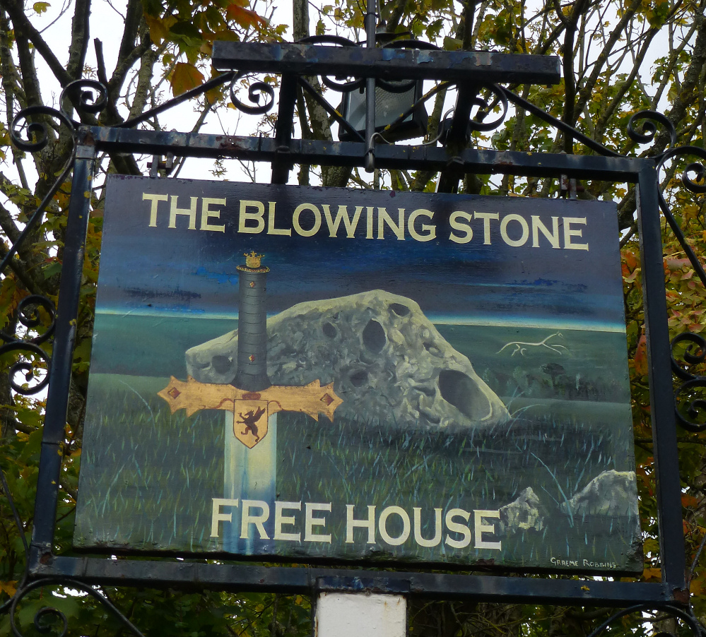
The pub has a new sign since Wysefool’s picture.


Looking across the barrow into Oxfordshire. Didcot power station is now the dominant landmark of the vale below.


Looking SE towards The Ridgeway. The Devil’s Punchbowl is out of sight just below the barrow, but the contour makes sure it isn’t in view from here.

Looking west-ish. Pigtrough Bottom round barrow is left of centre near the trees.

Looking approx. north. Decent sized barrow this.


