


Grooved top of one of the orthostats in the western chamber.


The stone in the foreground may have been part of a forecourt.


The three cairns, with the northern pair in the foreground and the possible southern cairn on the slope on the skyline left of centre.
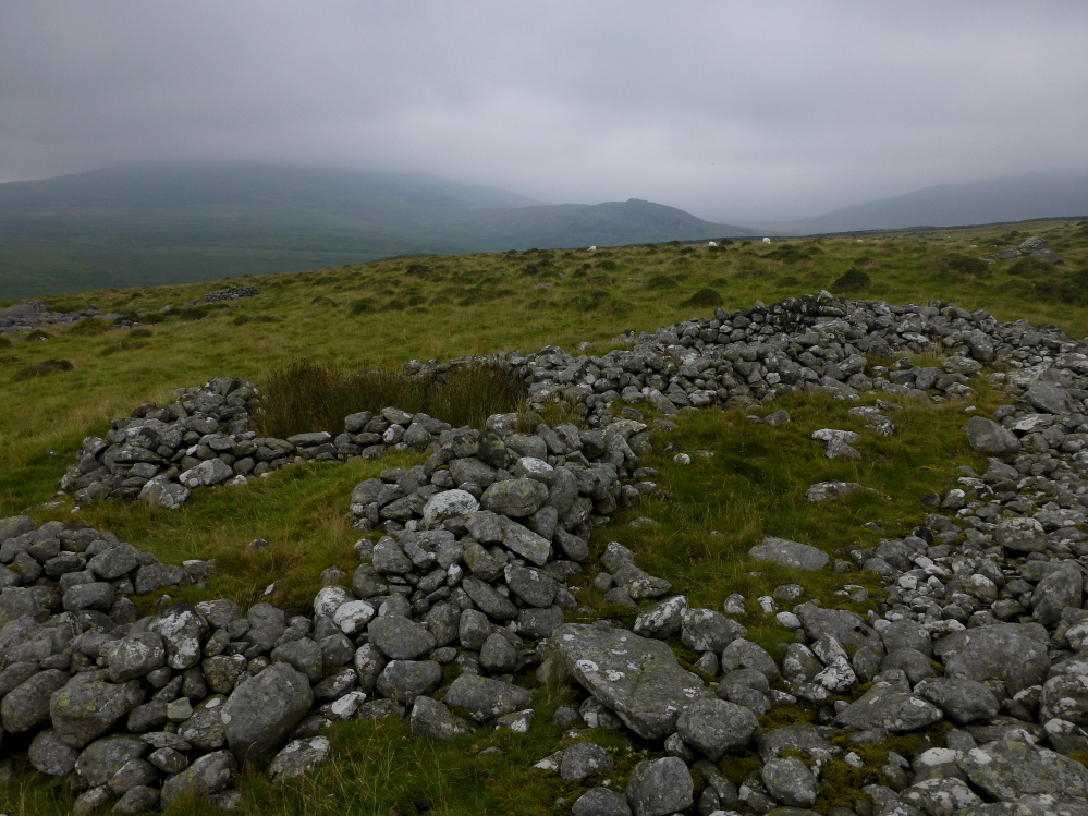
The rather wrecked northeastern cairn in the northern pair, looking towards a misty Moelfre.

Several slabs can be seen in the centre of the southwestern cairn of the northern pair. The possible southern cairn is visible on the slopes opposite.

The southwestern of the two northern cairns, now spreading outwards to join its neighbour.

The prominent northern cairns, two round cairns so close to each other to be almost touching.

The sheepfold built on/from the possible southern cairn. The nearby stone circle is indicated, the skyline notch is Bwlch y Rhiwgyr. There are other stone circles, long cairns and a ring cairn on the intervening hillside.

The possible southern cairn, wrecked by the construction of a now-ruined sheepfold.

The most upright of the stones in the circle.

Looking NNE across the circle towards misty Moelfre.

The northeastern arc. The circle is surrounded by a low rubble bank, parts of which can be seen here. The Rhinogydd mountain range is hiding in the hill fog today.

Looking NNW across the circle towards Dyffryn Ardudwy. The bump on hill on the right is a possible, very wrecked, cairn.

Speculatively – could this large stone embedded in the wall have once been part of the northern circle. It’s very close to its arc.

The almost submerged stone in the foreground is – I think – one of the stones in the northern circle, which occupies the ground up to the wall. There’s precious little to see of this monument.

Looking across the southern circle from a near buried stone in the northern arc. Other stones in the circle are indicated to give a sense of the scale of this large ring.
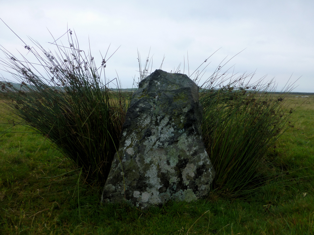
The remaining standing stone in the southern circle.

Stones on the western arc, including the only remaining significant standing stone in the site.

Reverse of previous image of stones on the southern arc of the southern circle. The outer bank can be seen behind.

Stones on the southern arc of the southern circle. The prominent hill on the skyline is Pen-y-Dinas hillfort.

Semi-recumbent stone on the NE arc of the southern circle. The bank can be seen behind (right). The notch in the foggy hills is Bwlch y Rhiwgwr.

Curving bank around the outside of the larger southern circle. None of the remaining stones seem to be incorporated into the bank, all are inside it. The Carnedd Hengwm chambered cairns are up on the hillside above.

Looking back towards the head of the pass as we descend northwards. This ancient track leads up past Cerrig Arthur stone circle, then down to Dyffryn Ardudwy past numerous stone circles and chambered tombs.

The rim of the cairn, showing traces of rubble construction through the grass.

The part of the cairn on the NW side of the wall. It appears as a raised rim, like a ring cairn, but Frances Lynch suggests it’s probably just robbed out.

The cairn is bisected by a high drystone wall. This is the part on the SE side of it. G/F provides a good indication of the lack of visibility.

Arriving at the bwlch. The cairn is above and to the right of the Ardudwy Way marker post.

Looking southwest across the circle.


Smaller stones make up the majority of the circle.

Dense hill fog cloaks the Rhinogs to the north.

The fort from the northeast, with the Mawddach estuary below.

The rocky fort from the northwest, with upright slabs in the foreground.

Another view of the speculative “rampart” below the quarry. The hills of the Lleyn peninsula float on the skyline.

The fort is the dark and rocky outcrop over to the left. The area where this shot was taken from is the site of a former quarry. There is a band of rubble that might suggest a stone built rampart, but this is speculation. Overlooking the Mawddach estuary.

Fort over on the left. Looking up the Mawddach valley towards the hills below Cadair Idris.

The fort occupies the rocky promontory in the centre of shot, rising above Abermaw/Barmouth.

Landscape context, with Cooper’s Hill centre and High Brotheridge over to the left. Seen from Crickley Hill fort.

Birdlip Camp seen from Crickley Hill fort.

The linear Neolithic earthwork.