The building of the road in the background destroyed the Bronze Age barrows and cist burials that were next to the round house settlement.
Image credit: A. Brookes (23.4.2017)
The building of the road in the background destroyed the Bronze Age barrows and cist burials that were next to the round house settlement.


The surviving hut circles from the west.

07/06.

07/06


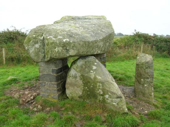
I’ve visited Porth Dafarch since I was a child, and have only just noticed this settlement. Thanks for bringing it too my attention, when noticed, they are clear to see, just off the country road junction. They are not noted on the Ordnance Survey maps of the area, and seem to be overlooked.
Not as impressive as the Holyhead Mountain Hut Group, but getting to see them isn’t a problem, as they are visible from the roadside.