wolfy
Image credit: pebblewolf
wolfy

29-5-05
see the difference between 2005 and the recent pics taken in 2006
pebbles

29-5-05
pebbles
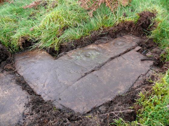
image taken in 2005 to the show the difference a year makes to the carvings.

29-5-05
pebbles

panel 3 looking toward the spring..
below the main panel is 3b..
14-10-06
wolfy

14-10-06
wolfy

14-10-06
wolfy

14-10-06
9 rings...
wolfy

14-10-06
wolfy