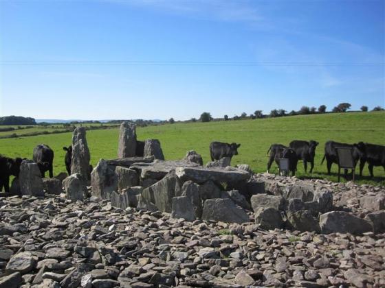
My first attempt at finding a site in Cork and it seems to have gone missing. Its to tough spot to get to although it looks easy on the map. You have to pull in at a dangerous stretch of road near Burnfoot, cross a railway line and fight through a fairly thick ditch to get into the field where it is supposed to be nestled up against the bank of a stream. However when I got through the obstacles there was no sign of it. I have no other info on it really so I dont know what has happened to it. I had a look in the stream and there are some reasonably big rocks in it, possibly the remains of the circle. Its hard to know.
The location of it to me wouldnt have been great, no real wide views, the views would by blocked by a hill at the stream side of it and the other side would be pretty unimpressive.
Articles
According to the ‘Archaeological Inventory of County Cork, Volume 3: Mid Cork’ this site has been destroyed between 1963 and 1970.
SMR: CO042-074001-
Sites within 20km of Ballyknockane
-
Island
photo 12description 3 -
Knockaroura
description 1 -

Carrigcleena
photo 1description 2 -

Nursetown Beg
photo 6 -

Bweeng
photo 6 -

An Seisear
photo 13description 1 -

Glandine (Monkey’s Bridge)
photo 14description 1 -

Garrane
photo 7 -

Gowlane North
photo 6description 2 -

Gneeves
photo 2description 1 -

Lios na Ratha/
Loughane East photo 3description 1 -

Loughane East
photo 4description 2 -

Gortdonaghmore
photo 3description 1 -

Blarney’s Dolmen
photo 2description 1 -
Kilmartin Lower
description 1 -

Kilmaclenine
photo 7forum 1description 1 -

Rylane
photo 2description 1 -

Rylane
photo 4description 1 -
Labbacallee Cairn
description 1 -

Labbacallee
photo 28forum 1description 5 -

Ballinaltig Beg
photo 1description 1 -

Claidh Dubh
photo 5description 1 -

Oughtihery E
photo 9forum 1