The twin-humped Woodbury under April skies, seen from Rodge Hill to the south.
Image credit: A. Brookes (2.4.2022)
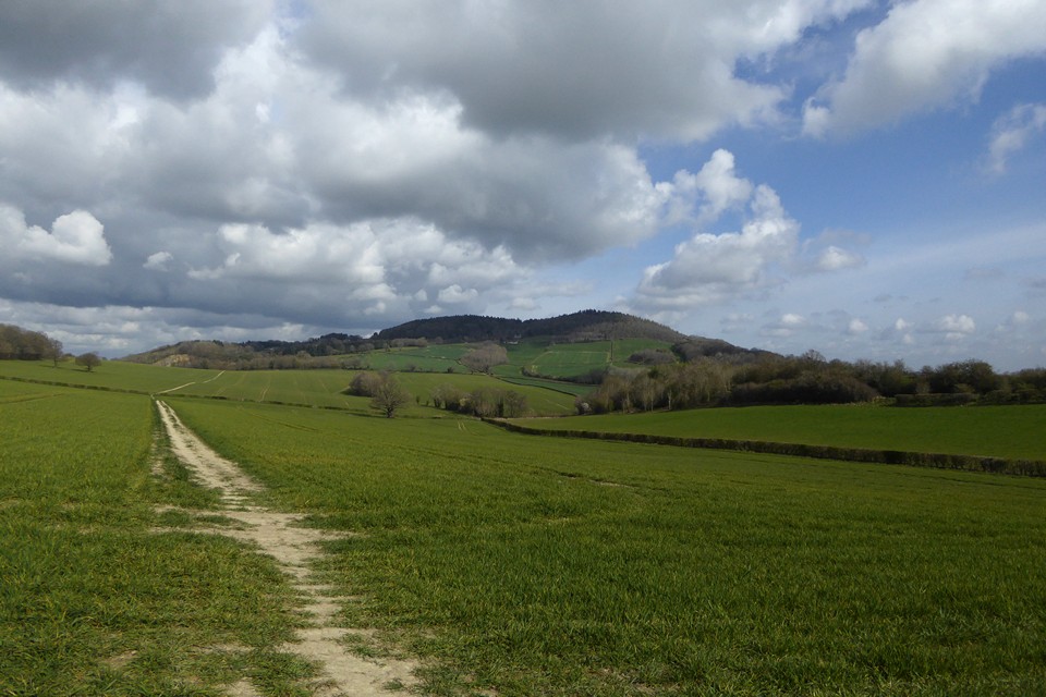
The twin-humped Woodbury under April skies, seen from Rodge Hill to the south.

Southern rampart, the ground sloping steeply away.

Southern rampart, east of the southern entrance.

The southern rampart, west of the southern entrance.

Western end of the southern rampart.

Steadily collapsing stone pyramid on the high point of the western rampart.

Below the bank on the southwestern section.

Western ramparts.

Northwestern rampart.

Northern rampart, west of the northern entrance.

View of Woodbury Hill from the South West.

The outer NW banks of the fort are just visible at the edge of the pine tree-line.
Visited 30.3.11
I found a place to park next to a field gate on the surprisingly busy B4197. From here a public footpath takes you across a field up to the edge of the trees which encompass Woodbury Hill.
The public footpath then runs along the bottom of the hill although of course what I was after lay at the top! The trees, brambles and wild undergrowth of the hill looked a formidable challenge and I feared I would have no chance of getting to the top.
(No wonder Owain Glyndwr in 1405 chose this site as a base and no wonder the English decided not to attack him!)
Luckily I came across a 4x4 track which zig zagged its way up and I gratefully took this route. (This track is not noted on my O/S map)
After a stiff climb I eventually reached the top and came across a pheasant pen (hence the track leading up the hill). The views would have been wonderful but for the trees.
As I was conscious of Karen being sat in the car with the children and it taking a lot longer than I was expecting to climb to the top, I decided to only investigate the southern most defences. These consisted of little more than a single shallow bank/ditch. The O/S map suggests the defences to the north of the site are more pronounced?
Needless to say I managed to get lost going down the hill (there are several 4x4 tracks which criss-cross each other) and ended up battling through the brambles/bushes/trees down the steep slope. Luckily I came out at the top of the field I was after and after a dodgy leap over a barbed wired fence I returned to the car.
It took 30 minutes to walk from the road to the top of the hill and in all honesty I would say it is one for the dedicated only. I have an interest in Owain Glyndwr so for me it was worth the effort.
In1405 the troops of the “wild and irregular” Glyndwr, with a body of French auxiliaries, invaded the borders, burned the suburbs of Worcester, and then retreated into Wales, followed by the army of Henry IV. Tradition asserts that Owen Glyndwr then occupied Woodbury Hill, where for eight days he skirmished with the king’s soldiers without much advantage to either side, though in the various scrimmages two hundred men were killed.
p160 in ‘Pictures of Nature in the Silurian Region Around the Malvern Hills and Vale of Severn’ by Edwin Lees (1856). Online at Google Books.
From “On The Ancient British, Roman, and Saxon Antiquities and Folk-Lore of Worcestershire” 2nd ed – Jabez Allies (1852):
“The name of this hill is probably derived from the Saxon ‘Wude Byrig’, the dwelling in the wood, and refers to the camp there. It is vulgarly called Howbury or Oubury Hill. Dr. Nash*, in speaking of it, says: ‘In the parish of Great Witley, the river Teme passeth under Woodbury Hill, remarkable for an old entrenchment on the top, commonly called Owen Glyndwr’s camp, but which probably is of more remote antiquity.’ ‘The top of the bank on Woodbury hill contains twenty-six acres two roods and twenty-seven perches, and if the dimensions be extended to the centre of the ditch, it would measure at least two acres more. This hill is distant from Wassal Camp, in the parish of Kidderminster, about eight miles, and from Kenvaur Edge about eleven.’ A plan of this camp, which is of a rather triangular shape, is given by Doctor Nash. A way passes through it from north to south.”
*Dr Nash – . Dr. Treadway Russell Nash (1725 – 1811), author of “Collections for the History of Worcestershire” (1781).


