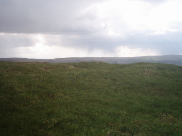
a close up of the turf covered stones which has now died back a lot more March 2004

a close up of the turf covered stones which has now died back a lot more March 2004

more stones revealed

more banks and ditches

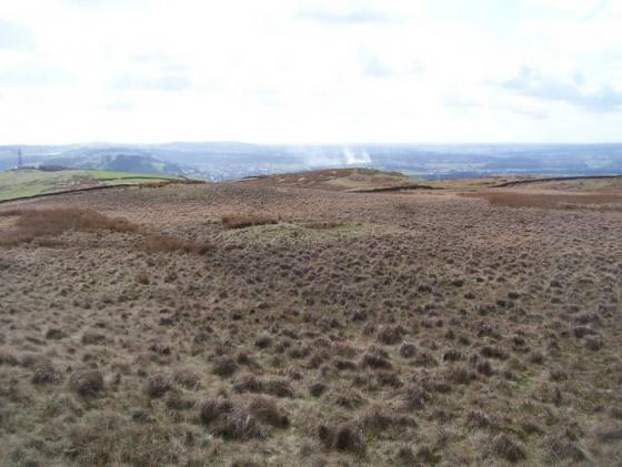
the low bank and ditches on top of the hill

this photo is taken looking into the structure the large stones is the one on the extreme left of the last picture you can see some of the rubble bank here

a nice wide view of the stones

you can clearly see a circular shape here
Visited this site a couple of weeks ago and had a long chat with the Farmer on the adjacent land who wasn’t happy about me not getting permission for access to the site at first but was happy to see I hadn’t climbed through the hole in the wall which some idiots had made for easier access. The farmer also gave me some info about this site the henge type structure on top of the hill is actually known as Burwains Camp locally. Although it is on Shuttleworth pasture and the circle of stones at the bottom of the hill is known as Burwains stone circle although not a true stone circle.
So that is why the site name has been changed to reflect this.
I also visited this site yesterday got a couple more pictures of the low henge looking a little more obvious now the undergrowth has died back some more and at the circle the rubble bank has revealed itself to be mainly large fallen kerbstones covered with turf but now more discernable.
This looks much like a henge to me. A large rubble bank and internal ditch, it is 45 yards in width. In the lush green grass, it looked quite obvious.
A very easy place to find directly accross from the picnic site marked on the map the enclosure is also marked on the o.s. map there are the remains of possibly 2 structures here firstly theres a small hill in the field with some low banks and ditches on top of it which are clearly circular secondly at the bottom of the hill some 30 yards away there is the remains of another structure this consists of a low circular bank of stones mostly fallen there are some large kerbstones and also a smaller rubble bank but this is mostly hidden by the undergrowth.
i first came here in summer and returned in october where i was able too see more of the structure maybe as the winter months go on i will visit again and be able to make out some more of this feature, but it looks to me to be the remains of a kerbed cairn although there is no mound in the centre.


