July 2014
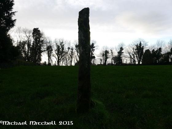
Image credit: Michael Mitchell
July 2014

July 2014

July 2014
July 2014
July 2014


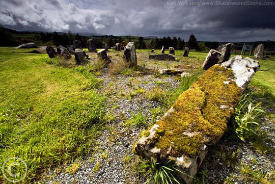
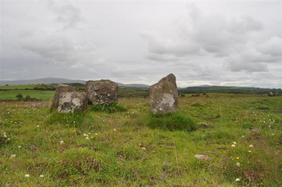
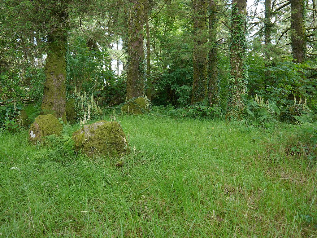
The recumbent stone is the long slab near the centre foreground, most of the other stones are visible though at least one is hidden behind trees

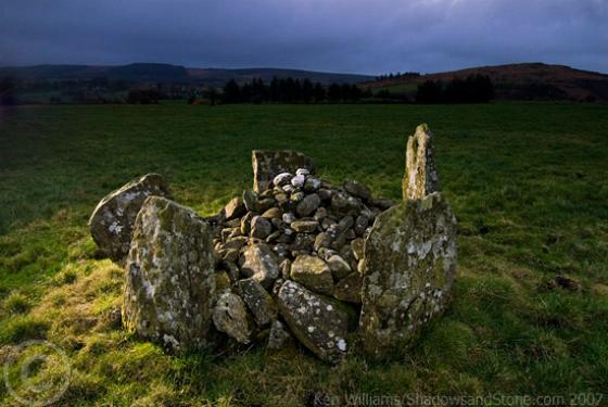
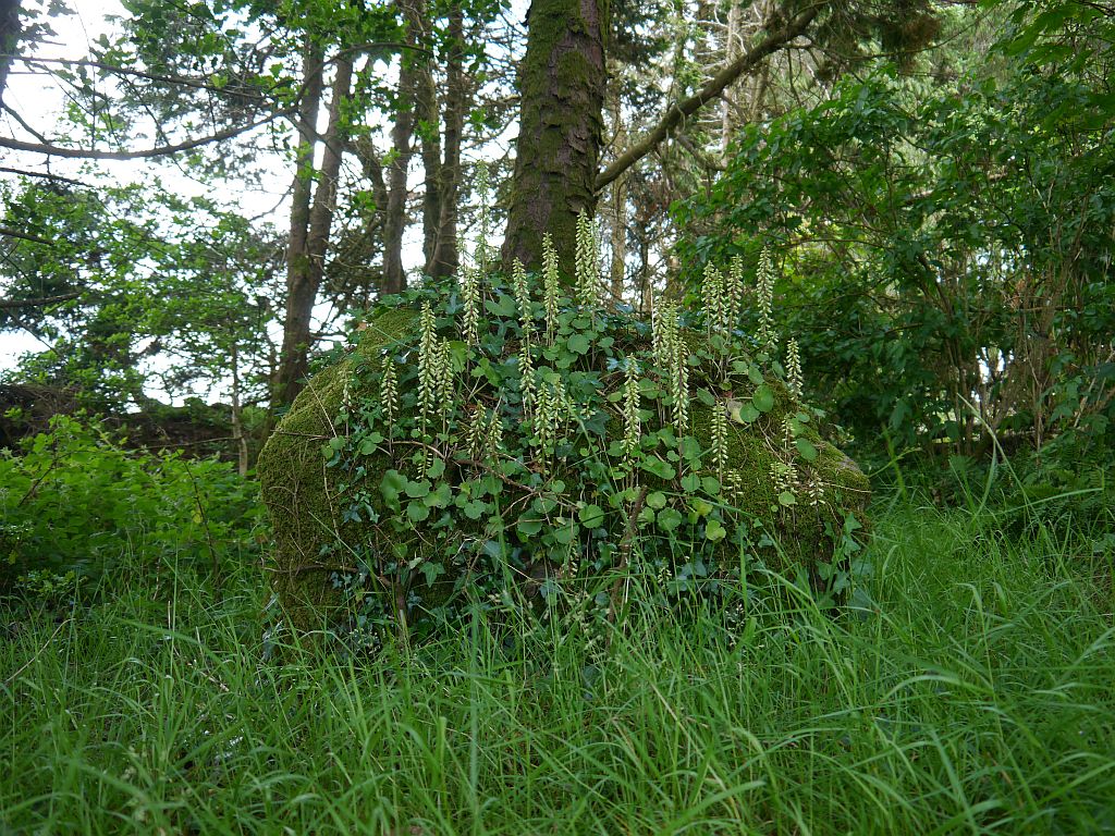
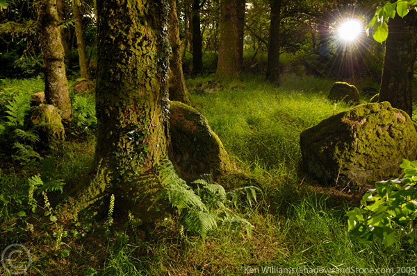
Late evening light streams into the small enclosure that holds this magical little circle
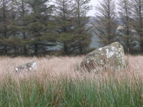
This is a lovely stone circle hidden away in trees at the back of some farm sheds. Not far from the easy to find Glantane East there is a long lane (with a gate) to an old farmyard. The stone circle is to the rear of this.