
Cruc Draenoc.
Image credit: A. Brookes (23.6.2015)
Cruc Draenoc.

Cruc Draenoc barrow.
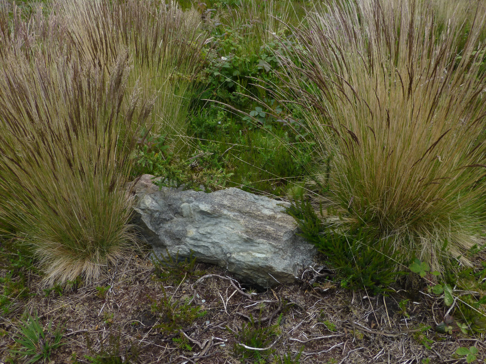
Kerb stone on the barrow at SW72572122.

Large round cairn at SW72572122, immediately north of Dry Tree menhir.

The ancient/modern juxtaposition is impossible to avoid here.

The gorse and heather encased flank of the barrow at SW72522158.

Sizable round barrow at SW72522158, which had a brick gun emplacement inserted in its top in WW2.

Looking towards the barrow at SW72442168, centre of shot. The intervening 100m was a shin-shredding nightmare of gorse and brambles, so I didn’t bother going any closer (poor).
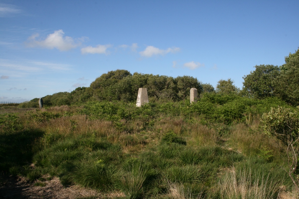
Photo taken 26th June 2015. Cruc Draenoc, ‘Barrow of the Thorns’, topped by its trig point and neighbouring concrete post, with the Dry Tree menhir visible in the background.

This barrow is to the immediate north of Dry Tree Menhir.

This large round barrow is just over the fence from the menhir.

A small, low round barrow south of Croft Pascoe plantation.

08/02
Visited 26th June 2015
Cruc Draenoc is one of many barrows which dot the landscape around Goonhilly Downs, but this one benefits by its close proximity and intervisibility with the Dry Tree menhir.
From that stone the unmistakable lump of the barrow looms to the south west, easily distinguished by the trig point and concrete post which crown it.
We poke about the barrow, the late evening sun still blazing down on us. The mound itself is quite low, but it stands on the highest point of the downs, and the view out and down to the sea is wonderful. It’s difficult to discern the exact size and shape of the barrow due to the ferns which mask its outline, but it’s mercifully free of the thorny gorse which covers much of the downs, and no longer lives up to its old Cornish name, Cruc Draenoc, which means ‘barrow of the thorns’.
It’s a strangely beautiful landscape here, and a nice bonus to stumble across a barrow of this size at the end of a pleasant walk.
Although this area of the Lizard is covered in barrows there are very few other remains to be seen except for the odd menhir like Dry Tree. WARNING! Not all is as it seems...during the 2nd WW the RAF set up a base here called RAF Dry Tree. Much of the base was to do with radar and telecomunications, hence the dishes we see today. The other remains that lie across the landscape are whats left of the station, including some of the “barrows”. Take a closer look and you will see that some of the humps and bumps hide modern buildings, all part of the war effort to camoflage the area.
The whole area around the satellite station is covered in these mounds, various sizes and states.


