
Image credit: Robert Gladstone


A Mesolithic roof garden, if you will?


The celebrated – I have to say, justifiably so – sandstone crags so beloved by visitors over the centuries form the north-western flank of the hillfort.
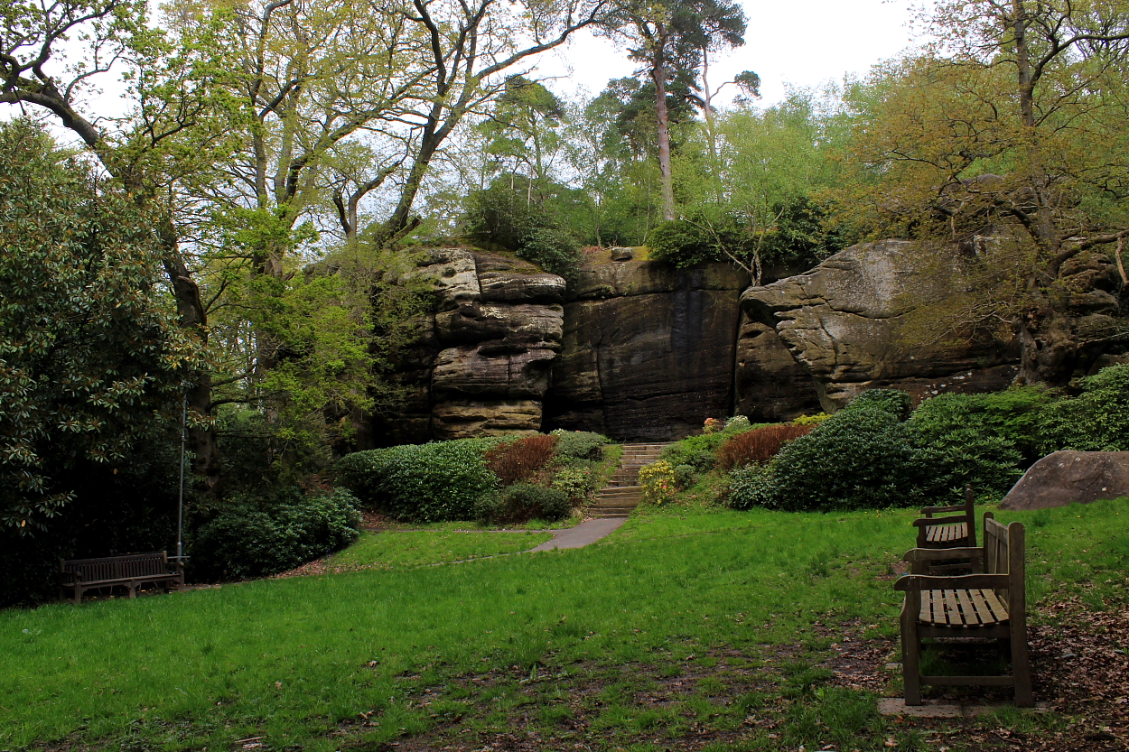
The approach from the hotel... Mesolithic rock shelters topped by the remains of a hillfort? That’ll do.


