
Image credit: Robert Gladstone

Southern bank from within...
Southern bank from the south...

North-western arc.... the northern is now lost.

Upon the North-western defences... looking west(ish)

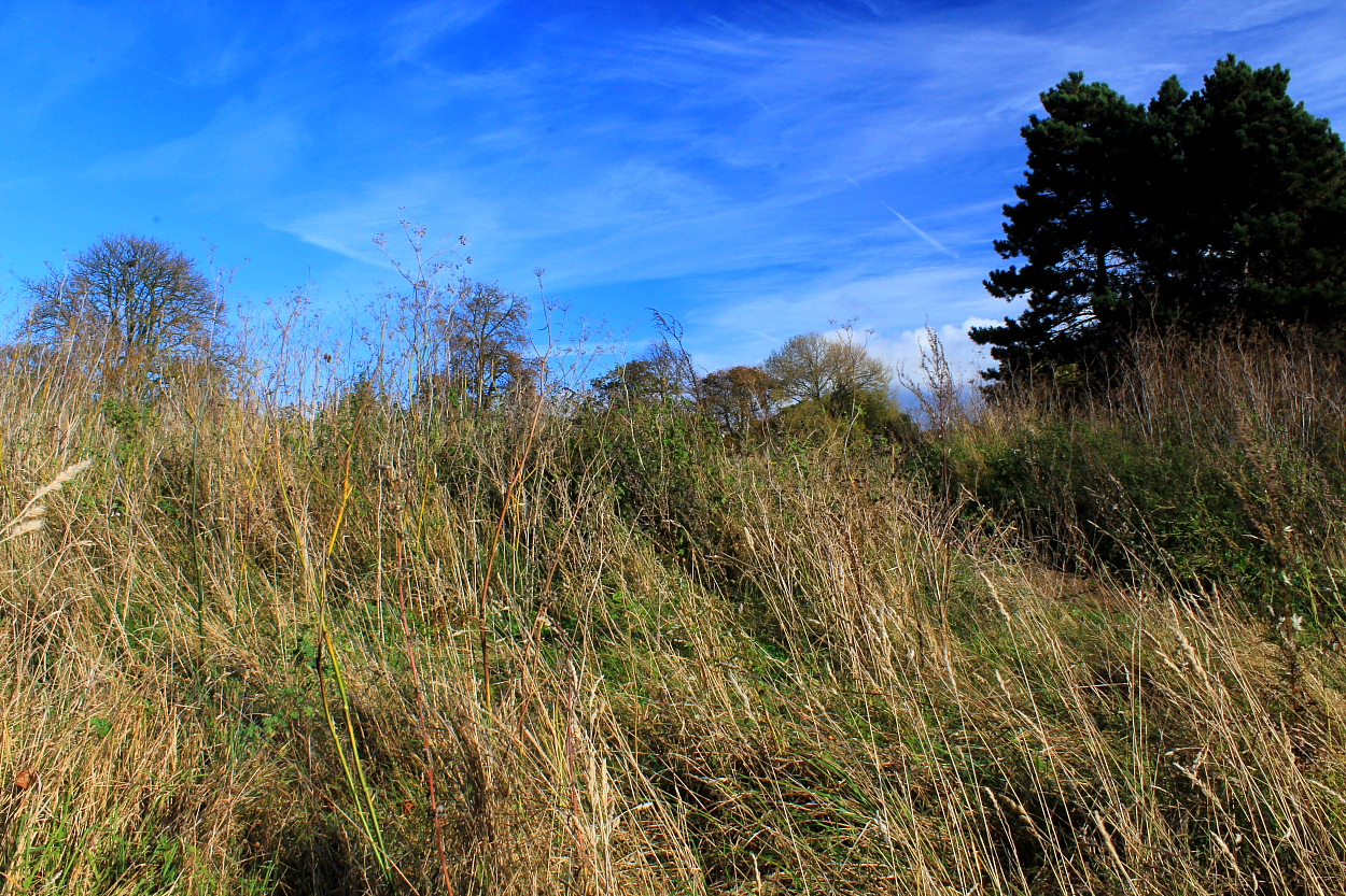
North-western arc...

North-western arc from ‘without’. Pretty substantial, it has to be said.

Southern bank looking approx west(ish)

Southern bank looking (very approx) east towards The Thames. The old magazine buildings of the former Shoebury Garrison can be seen to the right.

Southern bank...

The southern defences from the south..

The eastern flank... Now regardless of whether The Thames Estuary has claimed the former defences... assuming they ever existed at all... surely one must be a prize muppet to consider this view ‘disappointing’?
‘Scandinavian design’ not required. Apparently.
Shoeburyness.... There’s an obvious clue – at least for anyone with a passing interest in Old English nomenclature – that there was once a ‘fortified place’ here guarding the Essex flank of the mouth of the Thames Estuary. However, thanks to the Anglo-Saxon Chronicles of 894 CE, the assumption was that this ‘Danish Camp’ was the work of the the Viking leader Haesten: “The king [Alfred] then went westward with the army toward Exeter.... Whilst he was thus busied there with the army, in the west, the marauding parties were both gathered together at Shobury in Essex , and there built a fortress.” Stands to reason, right? Or at least it did until excavations undertaken during 1998 unearthed classic Iron Age interior features, confirmation of a Middle/Late Bronze Age pottery association with the visible remains of the ramparts following a year later. Hmmm. Pretty conclusive, methinks.
Now whether The Danes, perhaps reeling from defeat at their former Benfleet HQ earlier that year, fell back upon – and adapted? – the already ancient fortifications (perhaps by erecting a smaller Roman/Norman-style parasitical fort within), prior to finally giving up the ghost and retreating back across The North Sea... or threw up a now completely lost defensive perimeter nearby, is probably something only full-scale excavation could determine. Whatever the case, and despite the extensive destruction wrought by the occupation of the site by the Board of Ordnance in 1849 (and successors), much more of the original survives than I had supposed. Yeah, one has to know where to look, that’s all.
Historic England (List Entry 1017206) reckons:
“....The settlement, which many 19th century antiquarians associated with historical references to a Danish Camp, lay in a rural setting until 1849 when Shoebury Ness was adopted as a range finding station by the Board of Ordnance and later developed into a complex of barracks and weapon ranges. The visible remains of the Iron Age settlement were probably reduced at this time leaving only two sections of the perimeter bank, or rampart, standing. This bank is thought to have originally continued north and east, following a line to East Gate and Rampart Street, and enclosed a sub-rectangular area of coastal land measuring some 450m in length. The width of the enclosure cannot be ascertained as the south eastern arm (if any existed) is presumed lost to coastal erosion. The surviving section of the north west bank, parallel to the shore line and flanking Warrior Square Road, now lies some 150m-200m inland. It measures approximately 80m in length with an average height of 2m and width of 11m. The second upstanding section, part of the southern arm of the enclosure, lies some 150m to the south alongside Beach Road... [Trial excavations within the enclosure during 1998] revealed a dense pattern of well preserved Iron Age features, including evidence of four round houses (identifiable from characteristic drainage gullies), two post- built structures, several boundary ditches and numerous post holes and pits. Fragments from a range of local and imported pottery vessels date the main phase of occupation to the Middle Iron Age (around the period 400-200 BC)....”
The surviving defences now enclose Gunners’ Park... a nearby blast mound ‘protecting’ a long-defunct magazine explains both the name of said recreational facility and, one might suppose, the comparatively less upstanding nature of the southern bank versus that engulfed by trees to the north-west. What with ample free parking, Nature Reserve, children’s playground, WW2 coastal defences and beach... c’mon, what’s not to like? Just don’t forget the Spam sandwiches. Bloody Vikings.

