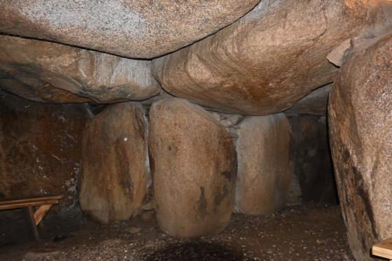
Visited September 2020
Image credit: Uwe Häberle 09/2020
Visited September 2020

Visited September 2020

Visited September 2020

Visited September 2020

Visited September 2020

Visited September 2020

Visited September 2020

Visited September 2020
The Tinnum-Burg (in Sylt Frisian: Borig) is an abandoned circular rampart near the community of Tinnum on the island of Sylt.
While the Archsum-Burg was destroyed and the Rantum-Burg is buried under dunes, it is the best preserved of the three Sylt circular ramparts. In the northwest it is bounded by a tidal stream flowing into the Wadden Sea, in the southeast by the flat marsh. The narrow channel was possibly navigable in the Viking Age, so that the castle had access to the sea. In the east the enclosure was connected to the Geest by a land bridge.
The circular rampart was built around the birth of Christ. The ring wall has a diameter of 120 meters. The rampart is up to seven meters high and has a circumference of around 440 meters. The base of the enclosure is about two meters above sea level. Before the marshes were dyed in 1938, the enclosure towered out of the water like an island during storm surges. The fortress had at least two gates (in the east and south), possibly a third gate in the west.
Excavations in 1870, 1948 and 1976 provided evidence that the Tinnum-Burg was one of the circular ramparts built on the North Frisian islands in the early Roman Empire. The excavation results showed that this was a Germanic cult site. After lying fallow and muddy for a while, it was used again in the 8th to 10th centuries. The interior development consisted of sod wall houses. The wall visible today, which was built over the wall around the time of Christ’s birth, also dates from this time.
The same old Lembecksburg on Föhr brought comparative finds to the Tinnum-Burg.
To get to Tinnum-Burg, drive from Westerland on the Keitumer Landstrasse in the direction of Keitum. Shortly after the buildings end on the left side, turn right into Königskamp road and cross the railroad tracks. At the end of the street, turn right into Silwai street and after another 50 m turn left again into Borigwai street. After around 100 m the road bends at right angles. Here you park the car and follow the dirt road south, which leads straight to the Tinnum-Burg in 500 m.
Visited September 2020
taken from the on-site information board:
Community of Sylt-Ost
- Tinnum-Burg -
The Tinnum-Burg (Burg means fortress or castle) was built on the oldest clay layer of the Sylt Südermarsch around the time of the birth of Christ. The enclosure is located on a marsh priel which was connected to a channel in the Westerland Geest. The lowland to the west and north of the enclosure shown on maps from the 18th and 19th centuries as a more or less contiguous silt up lake area. Whether the channel was ever navigable is debatable. Before the marshes were dyed in 1938, the enclosure jutted out of the water like an island during storm surges.
Excavations in 1870, 1948 and 1976 provided evidence that the Tinnum fortress was one of the circular rampart built on the North Frisian islands in the early Roman Empire. It was used again in the 8th to 10th century after a phase in which it lay fallow and mossed up inside (interior construction with sod wall houses). The rampart visible today, which was built over the rampart from the time of the birth of Christ, also dates from this time.
The circular rampart built in the early Roman Empire are interpreted as local Germanic places of worship (sacrificial sites) after a detailed analysis of the excavation results of the Archsum fortress. Except for the Tinnum-Burg and the Lembecksburg on Föhr, there are no comparable monuments of this type in Schleswig-Holstein.