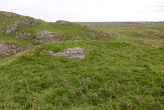
More water than land approaching Dun Ibrig.
Image credit: Mark Johnstone
More water than land approaching Dun Ibrig.

Dun Ibrig Moat

The outer stone wall surrounding large stones in the centre of Dun Ibrig.
Dun Ibrig lies c. 1 mile W of Scarinish, the largest community on Tiree. The site may be a ruined broch or a dun according to Canmore ID 21533 (go to Links).
The Broch/Dun is situated on a virtual island surrounded by a circle of water bordered by very boggy marshland. I made my way carefully to the edge of the dun but the water was too deep to proceed further. I did get to see the outer stone wall surrounding large stones in the centre.
From Scarinish head W and take the 1st R after 1.5 miles. After 400 yards park up and head due E into the bog. Maybe Dun Ibrig will be accessible in a dry summer or frozen winter.
Dun Ibrig: a broch or a dun?