Visited June 2019
Image credit: Uwe Häberle 06/2019
Visited June 2019

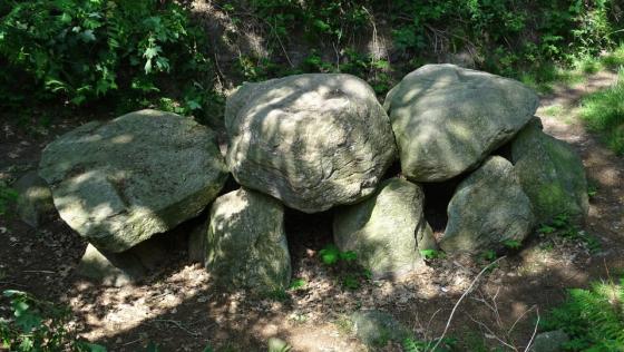
Gravenberg 20,40 m above sea level
Prehistoric site and natural monument surrounded by urn fields. Through the use of ever larger machines, more and more urn shards hit the field surface over time. Part of the urn fields was exposed in 1975/76. The salvaged urns are partly stored in the Bad Bederkesa Castle and in the Morgenstern Museum in Bremerhaven. Some urns are exhibited at the Wanna local museum.
Visited June 2019

Visited June 2019

Visited June 2019

Visited June 2019

Visited June 2019

Visited June 2019

Visited June 2019
The Gravenberg is located northwest of Westerwanna, on a small hill north of the road Feuerstättenweg. A small sign points from the road in a small dirt road.
In 1738 the first urns were found during an excavation. In 1869, the Gravenberg was opened again in the hope of finding more antiques.
According to legend, the Süderleda Count is to be buried here with princely jewelery. In addition to the Gravenberg, the all around old Saxon Urn Cemetery has gained supra-regional fame.
Visited June 2019