Visited April 2019
Image credit: Uwe Häberle 04/2019
Visited April 2019

Visited April 2019

Visited April 2019

Visited April 2019

Visited April 2019

Visited April 2019
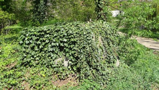
The Pfingstberg is a burial mound near Latdorf, at the top of which stands a menhir. The menhir is also called Totensäule (Pillar of Death) or Schwedenstein (Swedestone). The menhir or grave stele is a slender stone of sandstone about 2 meters high. The Pfingstberg is one of nine burial mounds and megalithic tombs (including the megalithic tomb Bierberg and the megalithic tomb Heringsberg) in the vicinity of Bernburg and Latdorf, which together form the Stone Age Landscape Latdorf. As the only one of these monuments, the Pfingstberg has not been excavated so far, which is why only a few statements about the burial mound itself are possible.
The burial mound is located directly on the road between Bernburg and Latdorf just before a right turn.
Visited April 2019
taken from the information board
Arbeitskreis Archäologie im Bernburger Land e.V.:
Der Pfingstberg (The (Witsun Hill)
Middle Neolithic – Early Bronze Age: ca. 4,100 – 1,600 BC
In the middle of the landscape between Bernburg / Dröbel and Latdorf the Pfingstberg rises in a landscape-exposed position on the hillside of a Saale-glacial terminal moraine above the valley edge of the Saale. Comparable with similar objects in the immediate vicinity, such as the Pohlsberg or the Spitzes Hoch, we can say that this identifiable artificial elevation is also a burial mound, probably built in the Middle Neolithic period. However, the Pfingstberg has not yet been excavated and archaeologically examined.
Noteworthy is a pillar-like, square sandstone column (height about 1.95 m, width about 0.4 m and thickness about 0.3 m), which was built on the hill. Such menhirs (Celtic: long stone) were mainly spread in the middle of the Iberian Peninsula, France, Great Britain and Ireland to Central Europe between the Middle Neolithic and the early Bronze Age and belong like the megalithic tombs to the megalithic ulture. They are not tombstones in the narrower sense, but rather are interpreted as ancestral memorials, which may also have been sacrificed. Since menhirs were not set up exclusively on tombs, we do not know for sure whether the stone pillar that is on the hill today is always there and in terms of content is related to the burial mound.
In the local tradition, there is also the name “Ensign Hill” for the mound. The stone pillar is called a “Pillar of Death” or “Swede Stone”. Behind it is the legend that at this point in the Thirty Years’ War, a Swedish ensign was shot and buried here.
From the pre- and early historical settlement of the area south of Latdorf, numerous archaeological finds and findings from the immediate surroundings of the Pfingstberg bear eloquent witness. These include settlement remains of the early Neolithic, burial grounds of the late Bronze / Early Iron Age, the Roman Empire and from the period of Slavic settlement. Southwest of the Pfingstberg was also the Medieval deserted Prederitz.