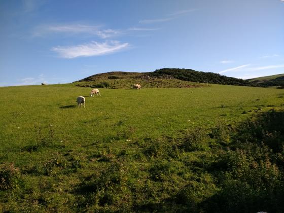
The Modern Antiquarian
Log in
|
Register
Home
Latest Posts
Forums
Maps
Help
Browse Sites
News
Blog
Contributors
The Books
Select
-
Belgium
Denmark
Eire
France
Germany
Greece
Italy
The Netherlands
Norway
Portugal
Republic of Malta
Spain
Sweden
Switzerland
United Kingdom
Scotland
Scottish Borders
Westloch House
Ancient Village / Settlement / Misc. Earthwork
Westloch House (Ancient Village / Settlement / Misc. Earthwork) on The Modern Antiquarian, the UK & Ireland's most popular megalithic community website. 1 image, plus information on many more ancient sites nearby and across the UK & Ireland.
Image © A. Brookes (10.3.2019)
Nearest Town:
Eyemouth (6km ESE)
OS Ref (GB):
NT89556792 /
Sheet: 67
Latitude:
55° 54' 15.31" N
Longitude:
2° 10' 1.77" W
Added by
thesweetcheat
Images (1)
0 discussions
Start a topic
Show |
Hide
Web searches for Westloch House
Flickr
Google
Google Images
MAGIC
The Megalithic Portal
Bing
Stone Pages
Streetmap.co.uk
Wikipedia
Show map
(inline Google Map)
- Sites within 20 km -
-
Coldingham Loch (0.83km NNE) (8 posts)
Earn's Heugh (1.25km NW) (10 posts)
Mire Loch (1.54km ENE) (14 posts)
Pettico Wick (1.55km NE) (13 posts)
Siccar Point (8.9km W) (2 posts)
Edingtonhill (9.72km S) (1 post)
Fosterland Burn (9.73km SW) (1 post)
Habchester (10.32km SE) (1 post)
Pech Stone and Lintlaw Burn stone (10.76km SSW) (4 posts)
Lamberton Shiels (11.64km ESE) (4 posts)
Odin's Hall (14.47km WSW) (26 posts)
Shannabank Hill (15.25km WSW) (1 post)
Cockburn Law (15.38km WSW) (3 posts)
Duns Law (17.2km SW) (2 posts)
- Add -
-
Add news
Add an image
Add fieldnotes
Add folklore
Add miscellaneous
Add a link
Add a nearby facility
Add an alternative name/spelling
Images
(click to view fullsize)
Add an image