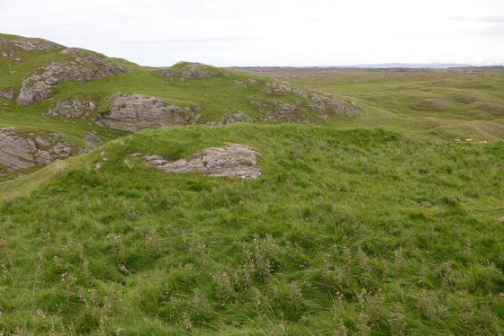
03/09/2018 – Dun Anlaimh crannog in just a lovely landscape (bit hard to walk in though).
03/09/2018 – Dun Anlaimh crannog in just a lovely landscape (bit hard to walk in though).

03/09/2018 – Dun Anlaimh crannog and excellent causeway.

03/09/2018 – Dun Anlaimh crannog

03/09/2018 – Dun Anlaimh crannog
03/09/2018 – Excellent crannog and remains of a curved causeway. Makes me wonder if the causeway was always just below the water and curved so only those living in the crannog would know the safe way to cross? Really liked this one. One thing worth mentioning is that it is a pig of a walk to get to. Underfoot very hard going on east side of the loch. We came from Ben Hogh and left NW to climb Cnocan na Ban. Tough day.
The name for this crannog – Dun Anlaimh might seem a little odd. This crannog is actual on Loch Nan Cinneachan not Loch Anlaimh to the south (which does have its only crannog). This crannog was named way back when the two lochs were just one, called Loch Anlaimh.