This mound, standing close to the base of Baile Mhargait hill, contains on its summit a beautifully preserved cist, complete with its displaced capstone.
Image credit: Les Hamilton
This mound, standing close to the base of Baile Mhargait hill, contains on its summit a beautifully preserved cist, complete with its displaced capstone.

This cist is found, open to the elements, on the very summit of the mound.
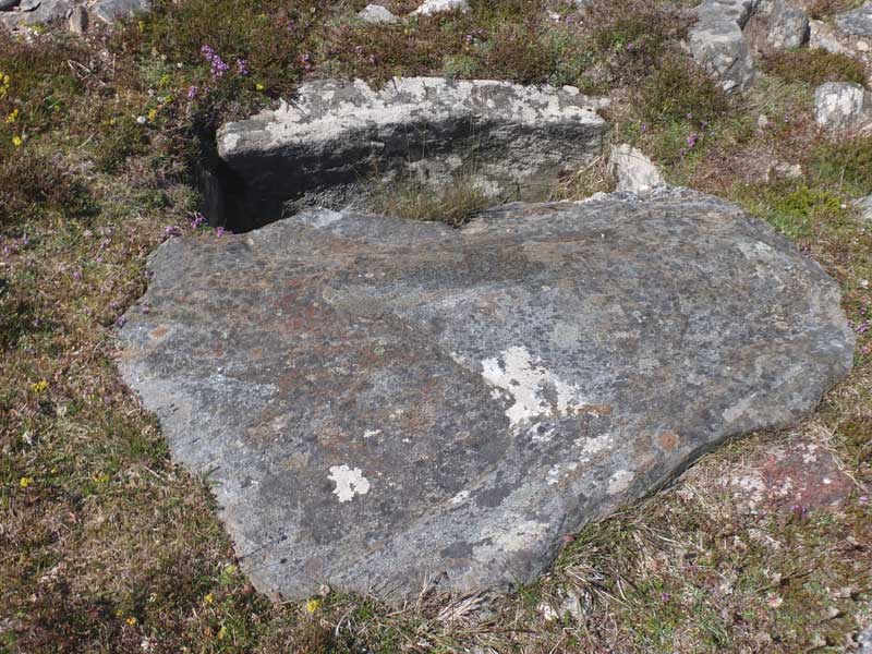
This is a view of the primary cist taken looking across its displaced capstone.

This cist, minus its capstone, lies just a few metres west of the main cist, on the flank of the mound.

This cist, which lacks both its capstone and end stones, lies about 25 metres northwest of the main cairn.
Visited: June 28, 2018
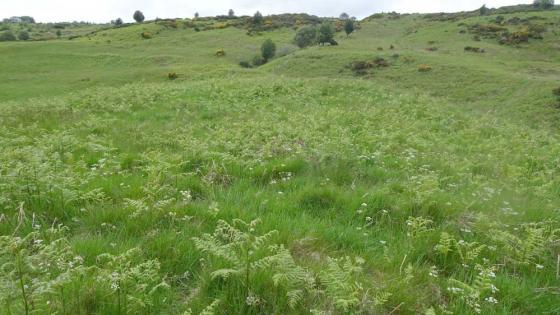
Immediately below the hill of Baile Mhargaite, with its summit broch, lie the remains of a Bronze Age village and burial ground on a sandy plateau some 15 metres above sea level. The plateau undulates a little and includes a number of hut circles and three cists.
The main cist, by far the best preserved of the three, lies at NC 69863 61030, sunk into the summit of a mound (cairn ?) about 2.5 metres tall. The cist, measuring 107x56x51 cm, is perfectly preserved, and open (its capstone lies just to one side of it), and is lined on all sides with flagstones.
Just a few metres away at NC 69856 61027 is a second open cist with one end flagstone and its cover both absent.
The third cist lies in level ground some 22 metres north of the first two at NC 69847 61051. It has no capstone, both end flagstones are missing, and the crypt has infilled with sand.