Visited October 2008
Image credit: Uwe Häberle 10/2008
Visited October 2008


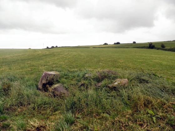
Note the fallen circle stones and fallen monolith beyond. The Gladmum provides scale.

July 2014

July 2014

In a very wet enclosure, but well worth the wet feet.


Somebody must have been in a rush to get in here


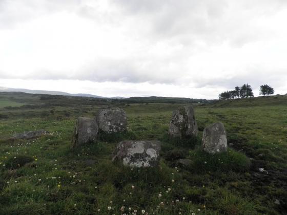
Looking northwest across the circle and the standing stone.


Whats with the half cup here?


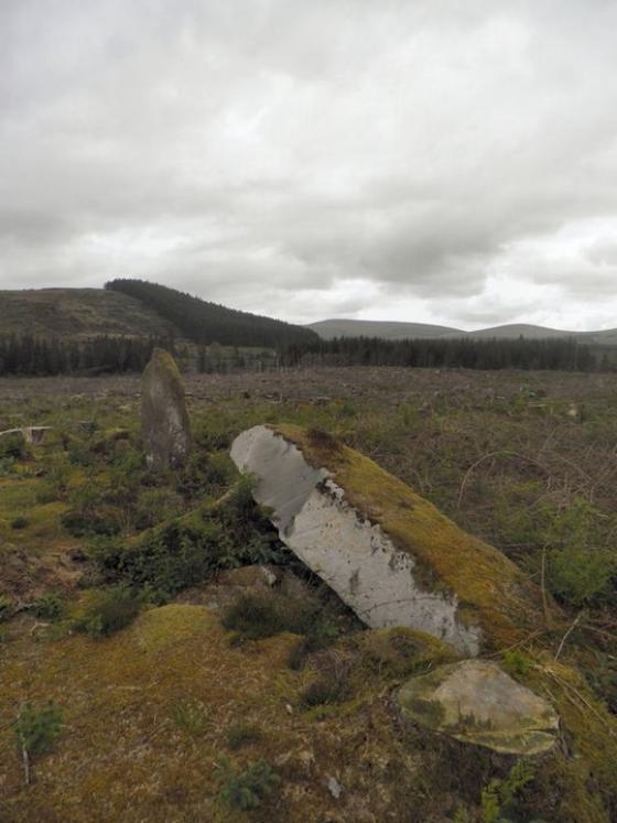
The standing monolith, its fallen partner and the remnants of the circle in the background


Looking west I think, the amazing scenery on the drive up here may have affected my bearings.


Sept. 2002 – radial stone cairn

Also known as Musherabeg, Muisire Beg, and Cnoc na Cille.
Visited 2nd January 2012
Cnoc na Cille – “Hill of the church”
Situated on the North Western slope of Musherabeg mountain.
There is a signpost and a gate, giving access, up a wet boggy hill.The site has been fenced off, presumably to protect it from the sheep or forestry workers ! There are two massive stones, one fallen, the other leaning towards the circle, forming an allignment NE – SW. Both are at least 3.5 to 4 metres tall. The circle itself is a five stone recumbant circle. Three stones still stand with two fallen.