
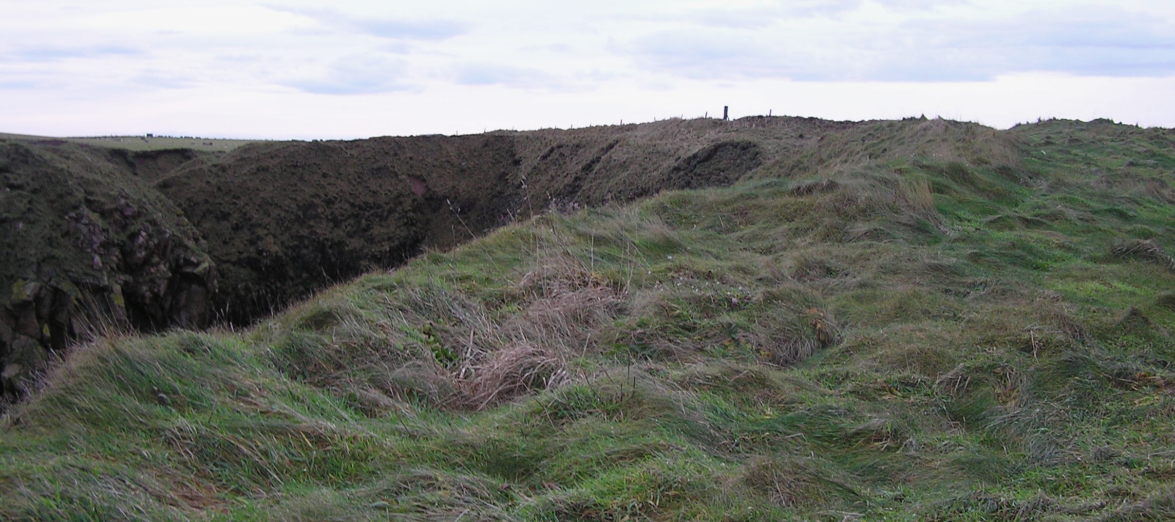
The north east rampart.
Image credit: drew/A/B
The north east rampart.
Remnants of the internal forts south rampart.

Two east ditches.

Second ditch heading east.

First defensive ditch on the southern approach.
South side.

The seagulls have their own fort as well.

South side.

Looking up from the north side.

Ditch/rampart at entrance of fort.

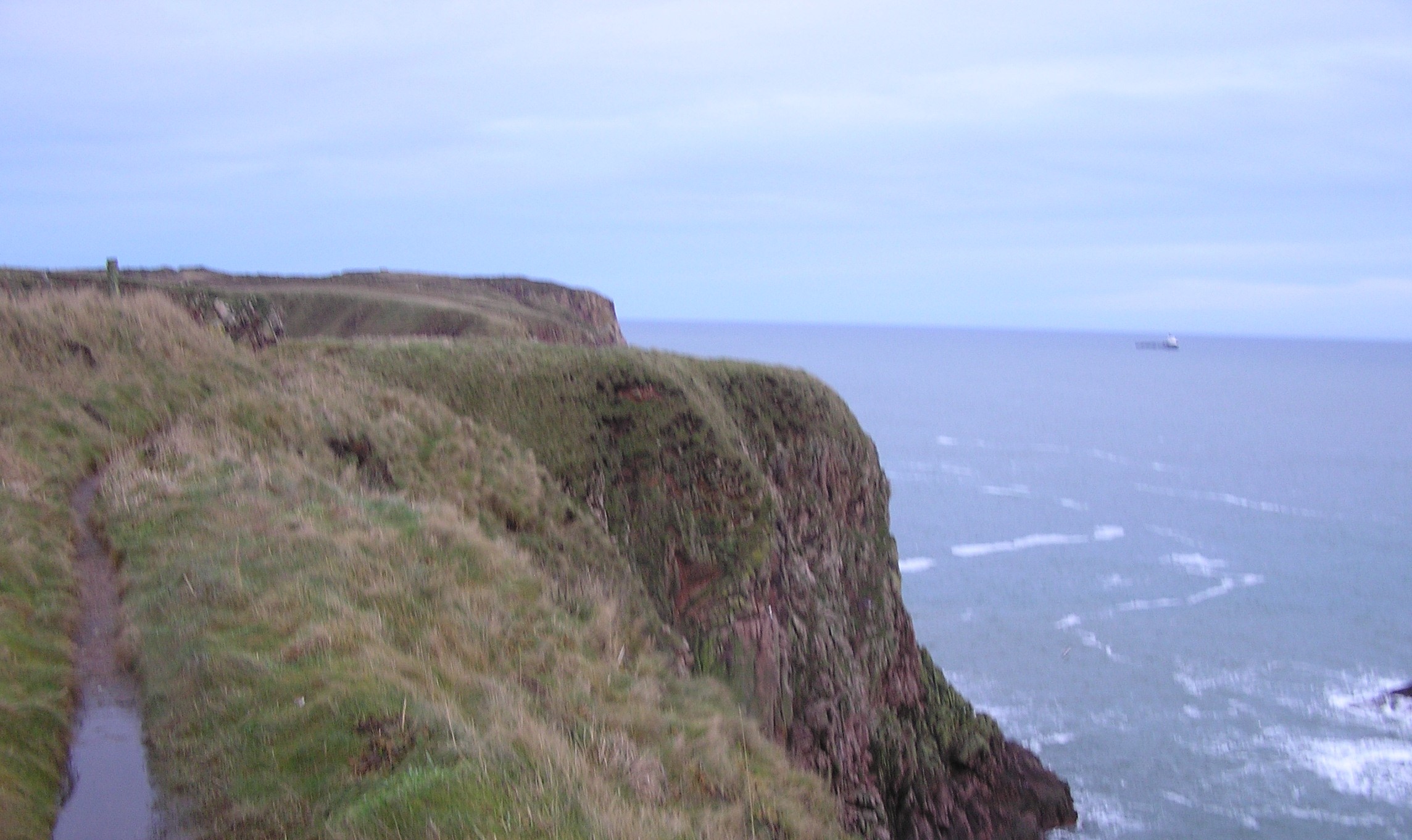
The south side of the fort. No boat could land here.

Forts interior at furthest east point.

Looking north west, note that the bumps are trenches/ramparts.

Down in the natural harbour, north side.

Northern most tip of the fort looking north. The clouds are smoke from a burning factory in Peterhead.

Southern side of fort.

Natural harbour to the north side. Overlooking a hint of a rampart.

Blockie Head is a fantastic cliff fort situated amongst some beautiful scenery e.g. The Pot, the Bullers Of Buchan and some of the most stunning coast line in Scotland. Today was a beautiful day without a cloud in the sky except for the massive black cloud of smoke to the north. A huge factory fire had broken out in Peterhead and smoke could be seen for miles. It certainly added to the colour of the place as the sun was creating beautiful colours on the cliffs, sea and grass.
Why this fort isn’t more famous baffles me as the ditches/trenches/ramparts, at least four, near the causeway are clearly visible. Signs of seven small ramparts surround the main fort even if the cliffs provide an inaccessible protection. At 60 meters in length and at the most 13 meters wide (at the least 8 meters) this is almost the perfect cliff fort. A natural harbour to the north is also included, so a well chosen spot.
As Les pointed out for The Pot, birdlife is in abundance here and this must be an incredibly noisy place when the young birds are on the go.
I left the A90, Peterhead road, just south of Longhaven and took the A975 towards Cruden Bay. There is a car park at the Bullers O Buchan. No cars are allowed beyond this point as the Bullers O Buchan is actually a small village as well and only residents cars are allowed.
Follow the path and head north, past The Pot, past the first place which looks like a tiny fort (the path to this is not to be advised as it is gradually eroding away) until a better path, on the causeway, heading east into the fort can be seen. Take care at the fort’s edge, the cliffs are straight.
To get to the natural harbour, advised, if only to see the changing colours on the rocks, keep heading north on the path. The path to the pebbly beach is the next track east. Sadly this seems to be a graveyard for plastic bottles but it doesn’t detract from the stunning scenery and the atmosphere. With night coming down, the blackness of the fort against the remaining sun is a truly magical sight.
Visited 17/1/2015


