Open Source Environment agency LIDAR
Image credit: © Environment Agency copyright and/or database right 2015.
Open Source Environment agency LIDAR
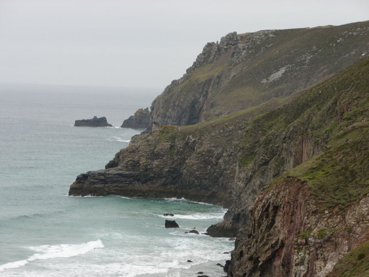
Tubby’s Head from the coast path to the south, near Chapel Porth.

The slowly-eroding rampart.

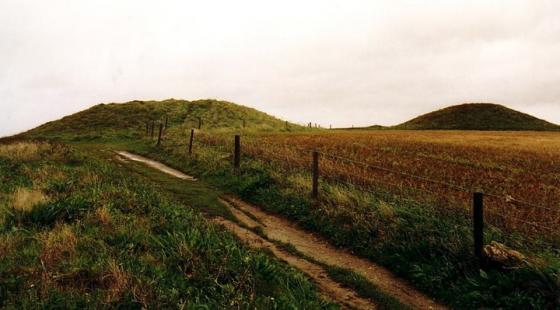
The ditch and bank on the south side of the path, looking towards The Knavocks near Godrevy.

The simple bank and ditch of the rampart.

Approaching down the steep slope from the coast path.

Tubby’s Head from St Agnes Head.
Pastscape description:
This is a small sloping promontory cut off from the mainland by about 20 metres of bank and ditch with a causewayed entrance near the Northern end. Defensively in a very poor position the “castle” is overlooked completely by the steeply sloping land to the East.
It is just possible that the bank and ditch protected a landing rather than enclosing a cliff castle as a flat expanse of rock near the waterline could perhaps have provided a suitable
natural quay.