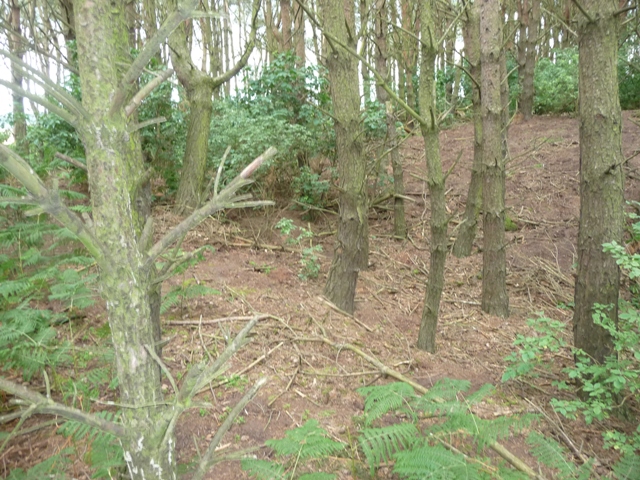
Looking south east along the trench.
Image credit: drew/amj
Looking south east along the trench.

Looking north east from the bottom of the trench.

The south side of the trench.

Defences south west.

Interior of the fort.

Southern defences which lead to the western ditch.

From the north.
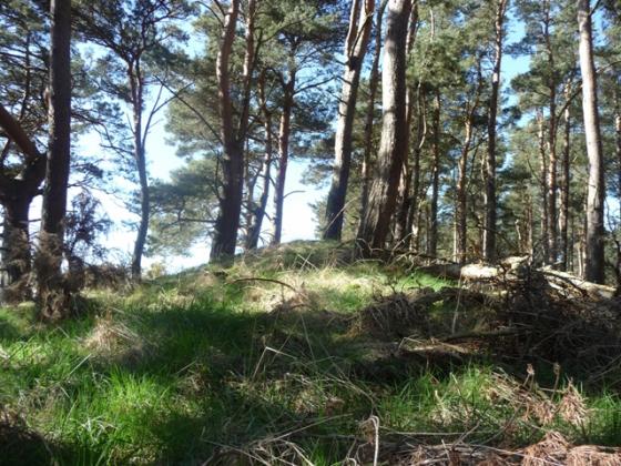
Castle Hill is a tree shrouded hill with steepish sides making it a good place to defend. To the north is a 35 meter long trench which is in some parts at least 2 meters deep. The southern bank of the trench being at least a meter higher than the northern part.
From Llanbryde take Burnside Road north until the road ends. Turn right and take the 2nd farm track road south. The fort can’t be missed, it is straight in front.
From here I was going to look for the Meft cairn but a writing malfunction led to me writing down the wrong grid ref. So looking and climbing the two nearest hills south didn’t do me much good as the cairn was in the field to the north. Next time.
Visited 14/07/2011.