Skip to content
Julian Cope
presents
The Modern
Antiquarian
Latest
Posts
Sites
Map
Blog
Forum
search
Search
⚠️
Sign in
more_horiz
Italy
Liguria
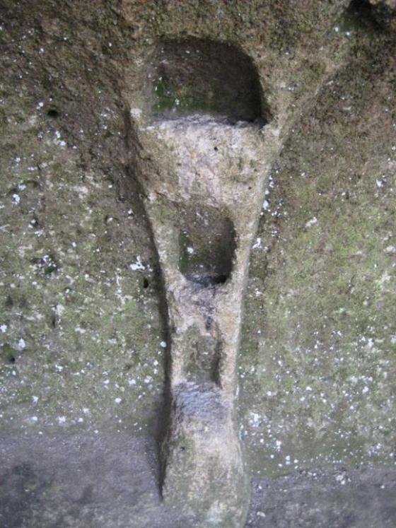
Camporotondo’s Engraved Stone
Cup Marked Stone
expand_more
Latitude:
44° 11' 30.39 N
Longitude:
8° 20' 56.74 E
Added to TMA by
Ligurian Tommy Leggy
Images (4)
Add
content
Images
Image credit: Ligurian Tommy Leggy
Ligurian Tommy Leggy
Mar 16, 2009
Image credit: Ligurian Tommy Leggy
Ligurian Tommy Leggy
Mar 16, 2009
Image credit: Ligurian Tommy Leggy
Ligurian Tommy Leggy
Mar 16, 2009
Image credit: Ligurian Tommy Leggy
Ligurian Tommy Leggy
Mar 16, 2009
Sites within 20km of
Camporotondo’s Engraved Stone
Camporotondo’s Double Holed Stone
Engraved stone
•
0.03km SSW
photo
9
Camporotondo’s Rock Shelter
Cave / Rock Shelter
•
0.08km SE
photo
7
Camporotondo (Round Field)
Cromlech (France and Brittany)
•
0.28km WSW
photo
2
God Pen, Verzi’s Menhir
Standing Stone / Menhir
•
1.01km ENE
photo
12
description
1
Nava Valley’s Altar Rock
Sanctuary
•
1.47km N
photo
1
Ciappu de Cunche (Vessels Flat)
Sanctuary
•
1.79km NW
photo
12
Riparo dei Buoi (Oxen’s shelter)
Cave / Rock Shelter
•
1.85km NW
photo
11
Strapatente’s cave
Cave / Rock Shelter
•
2.31km N
photo
4
Ciappu da Sa (Salt’s Flat)
Sanctuary
•
3.12km NNE
photo
10
Bastia’s Menhir
Standing Stone / Menhir
•
3.82km WSW
photo
10
Rio Cavallera, rocks n° 4, 5, 6, 7.
Engraved stone
•
17.13km NW
photo
19
Rio Cavallera, eighth stone (altar stone)
Engraved stone
•
17.53km NW
photo
8
Bric Gazzaro
Engraved stone
•
17.97km NW
photo
5
Rio Cavallera, third stone
Engraved stone
•
17.99km NW
photo
15
Rocca del Castellazzo (altar stone)
Engraved stone
•
18.61km NW
photo
6
Ferrania
Chambered Tomb
•
19.87km NNW
photo
4
forum
1
Colla’s Altar Rock
Cup Marked Stone
•
19.9km NW
photo
19
Like all websites everywhere,
we use
cookies
.
OK
search
I’m looking for…
location_on
photo
ondemand_video
forum
description
link