
A Crack In The Clouds (1) — Around St Just 14 June 2011
A long time coming, but finally our annual summer pilgrimage to West Penwith is upon us. We arrive in sunshine but the next day is a monsoon, followed by a second day of intermittent rain. So by the time the first dry day (14.6.2011) arrives, I’m desperate for a bit of megalithic action. We head off to St Just, keen to get back to Kendijack Common to check out the controversial grazing policy’s latest effects.
Veg pasty from Warrens consumed (yum), we head off downhill to Tregeseal village. From here it’s a straightforward walk up to Tregeseal circle, following the lane up to Hailglower Farm and then onto the open moor itself.
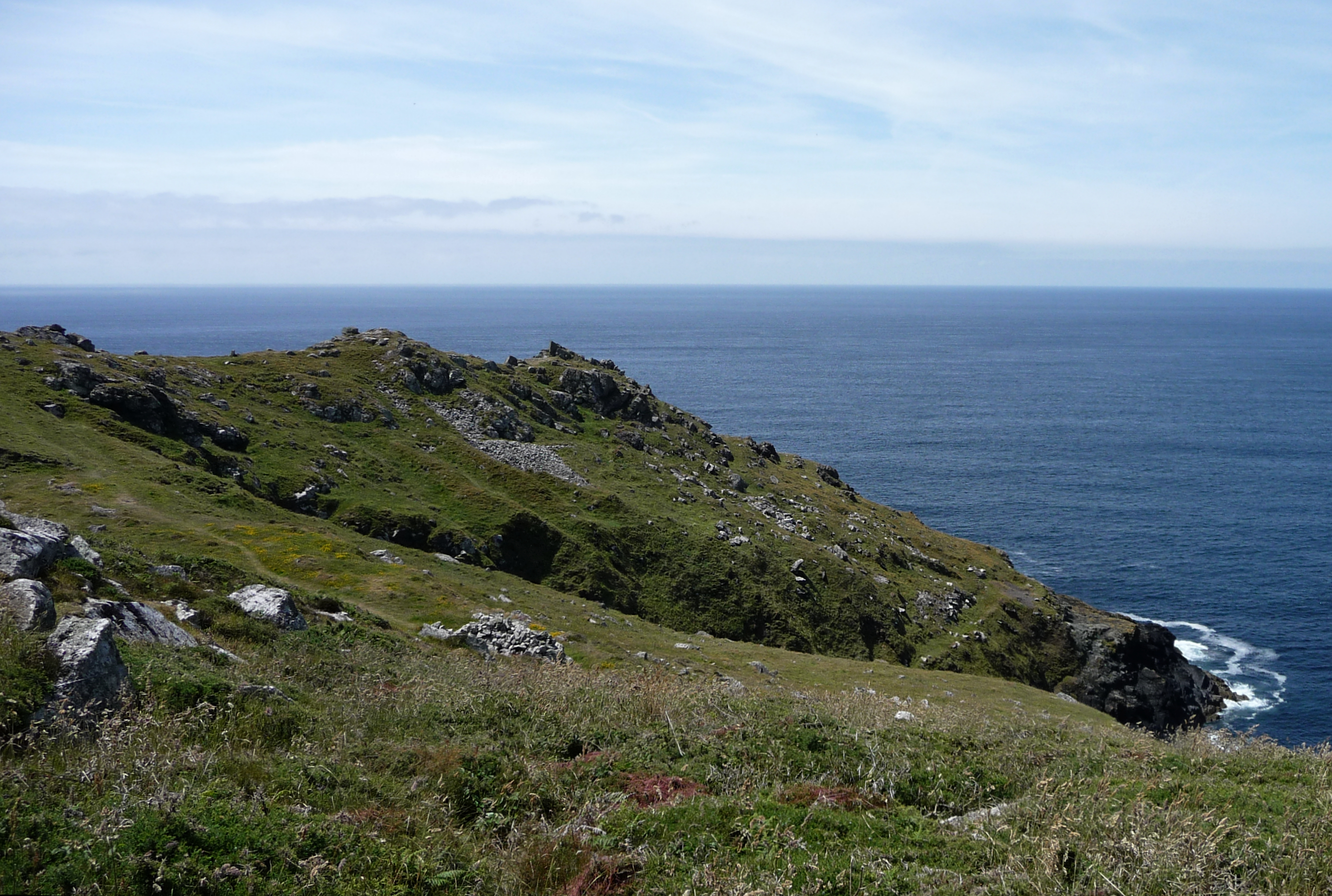
This wonderful circle remains an absolute favourite, no matter how many other places I get to between our visits here. Its location offers a feeling of space and solitude, with views stretching away to the unmistakable Carn Kenidjack outcrop to the north. We rarely see anyone else here, although it’s easy enough to get to. Tregeseal has somehow escaped the tourist trail that takes in Men-an-Tol, Lanyon Quoit and Merry Maidens.
The summer bracken is much lower than usual and the stones are surrounded by large numbers of (thankfully dry) cow pats. The cows themselves are not in evidence. I can’t really say whether any of the stones are leaning more than in previous years. Although it’s nice to see the stones without the depth of bracken, it still seems that other ways of achieving this are available. I desperately hope that sense is seen and that a solution can be found to the issues presented by the longhorn grazing. This place is far too special to be mired in controversy or surrounded by barbed wire.

General overview, showing how low the midsummer bracken is, compared with previous summer visits. Ironically, the heather and gorse covering the main part of the moor (beyond, up to Carn Kenidjack) appears largely unaffected by the grazing policy.


Heather and gorse still cover the common, although the bracken around the stones is much reduced, being easier grazing.
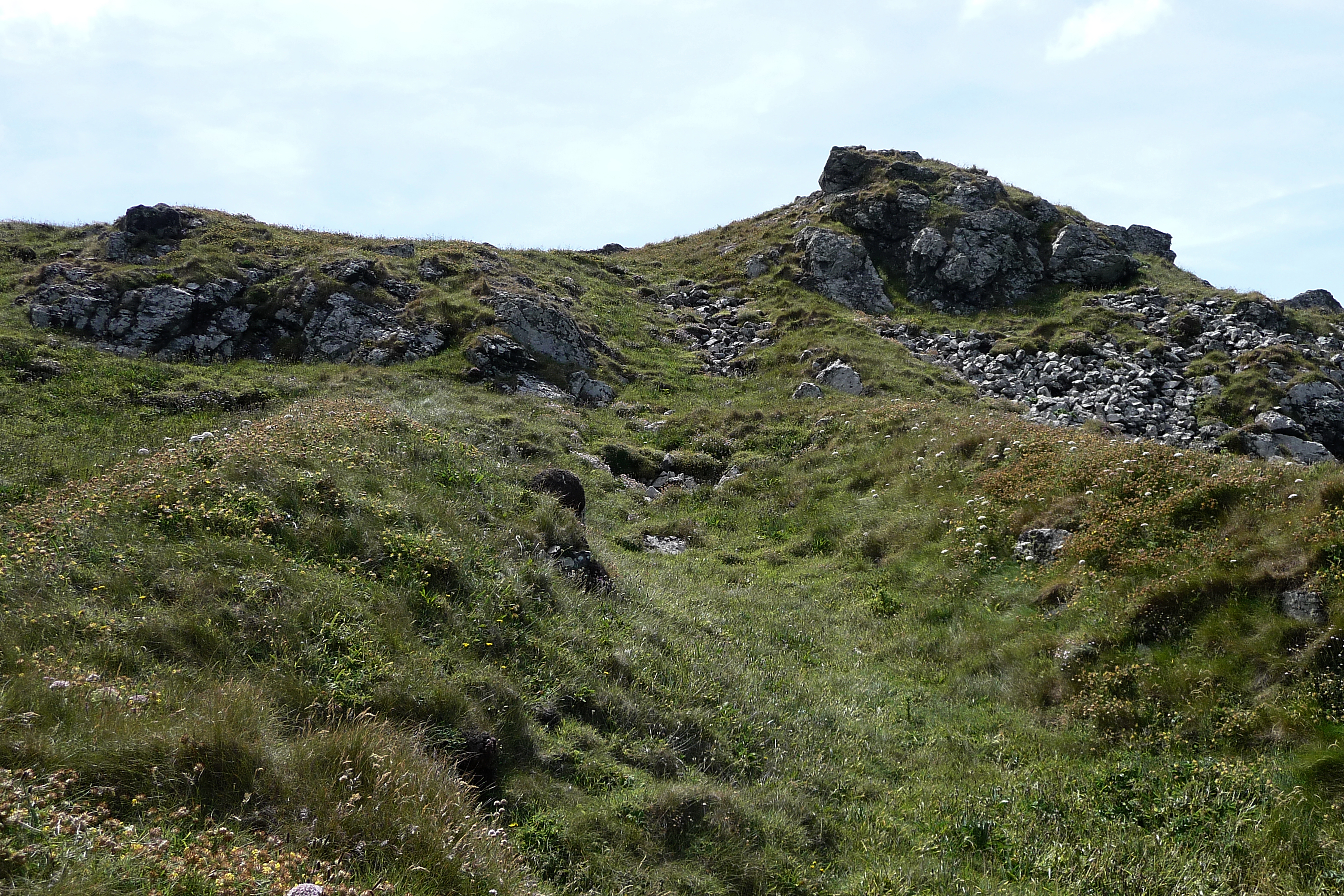
Usually we head off east from here, towards Chun Castle and on to Nine Maidens, but today I have another route in mind. First of all, we head westwards, to have a quick look at Higher Botallack round barrow.
We had seen this barrow across the field on an autumn walk a couple of years back, but never got any closer. It’s not the most impressive of barrows, low and ploughed down. But it has the inevitable scooped depression in its top, indicating that excavation took place at some point.

The round barrow is visible as the lighter area in the foreground. The prominent mast tops Carn Bean, with its own barrow visible as the low mound on the skyline to the right of the base of the mast.

Close-up of the barrow, looking north towards Carn Bean.

The disturbed top of the barrow. A shallow depression marks digging into the mound. Bartinne Hill can be seen on the skyline to the right of centre, away to the south.
The track running westwards emerges onto the excellently-named “No Go By Hill”, from which we walk to the little hamlet of Botallack (good pub, if you’re in need of refreshment) and then down to the coast path. The clifftops here are covered in ruined engine houses and chimneys, picturesque landmarks now, but reminders of the area’s past as a major mining centre.
The path heads southwest now. Further ruined buildings surmount the ridge behind the headland, but we’re interested in what lies beyond.
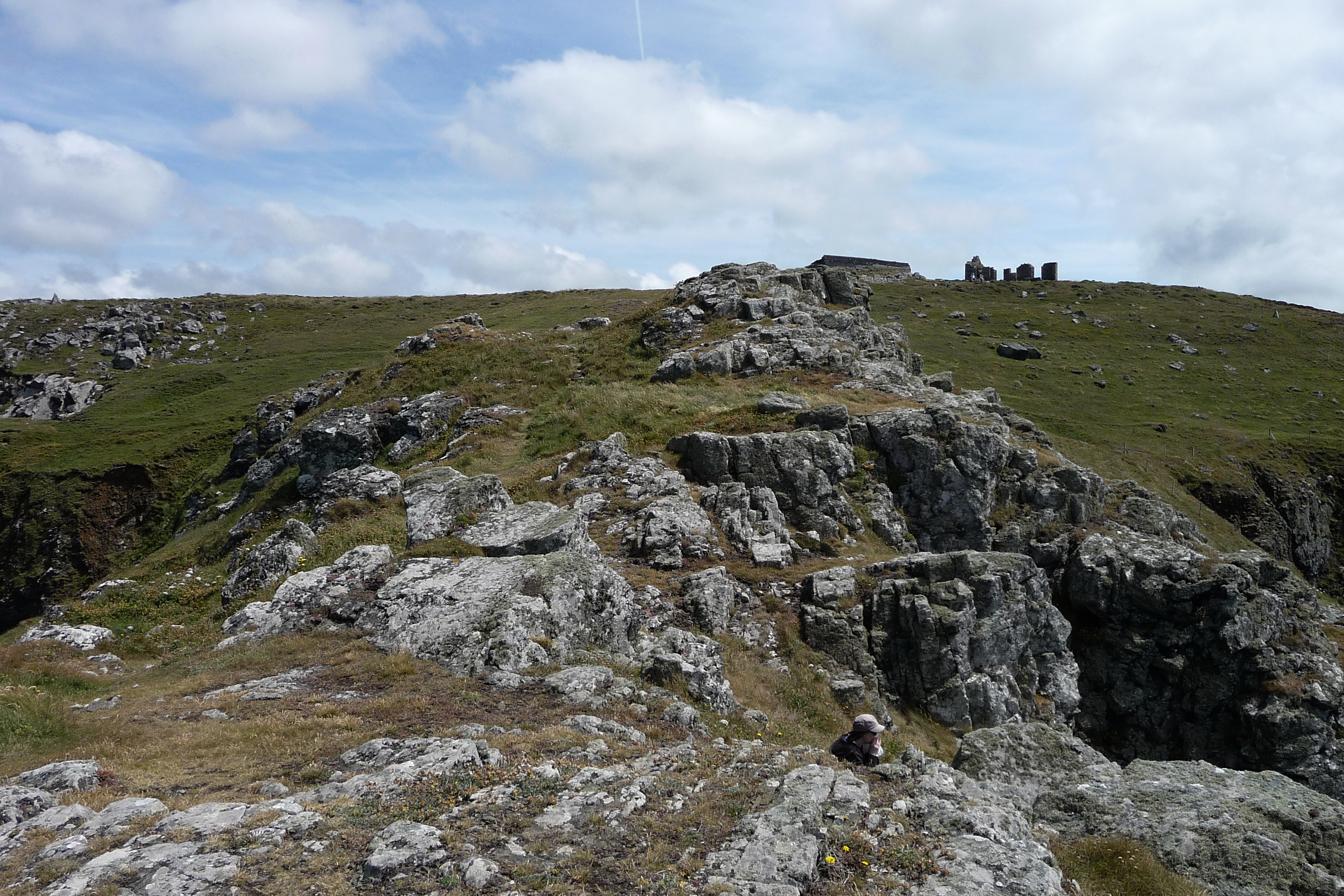
Kenidjack Castle is one of several Iron Age cliff castles making use of the natural granite fastnesses of West Penwith. For some reason we have never been here before, despite walking this stretch of the coast path a decade ago. A small stile gives access to the headland itself, and then the rocky “spine” looms ahead. Approaching from the northeast, the most impressive part of the fort’s defences is readily visible.
The neck of the headland was protected by a triple row of ramparts, dropping steeply from the spine before terminating abruptly at the edge of a near vertical cliff, above crashing seas. On the northern side, this triple rampart is very well preserved. The outer and middle ramparts are covered in vegetation, but protruding stones indicate that the construction uses granite blocks rather than earthen embankments. This is writ even clearer in the exposed inner rampart, the stones of which have been scattered into a fan shape. I pick my way down to get a closer look, discovering quickly that the footing is somewhat treacherous, as the grasses and succulent plants hide the position of potentially ankle-twisting stone blocks beneath.
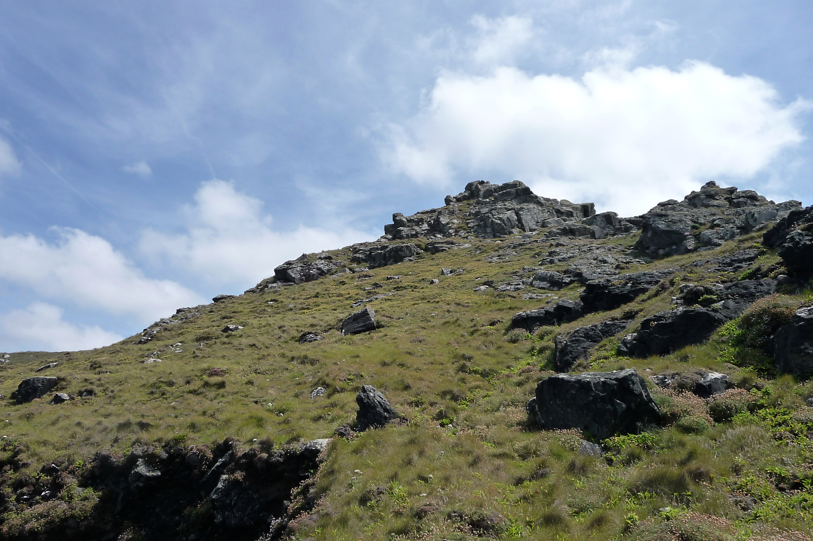
At the bottom end of the ramparts, the drop off the cliff-edge is somewhat vertigo-inducing and I don’t get too close. Heading further seawards, the remains of hut circles have been found, but I don’t see anything of these in the area I cover. Instead I head back up onto the central rocky spine, where an easy scramble gives access to the sloping tip of the headland, facing westwards down to the sea below. This is a brilliant place, wild and desolate. Most of the visitors are of the avian variety. There is a real feeling of being at the edge of everything, especially as this really was the edge of everything for the Iron Age people who inhabited the headland.
Approaching off the coast path, the three lines of ramparts on the north side are clearly visible, including their sudden cliff-edge termination. The outer and middle ramparts are covered in vegetation, while the stonework of the inner rampart is exposed.

The three northern ramparts from above. The stones of the inner rampart are disturbed and have fanned out.
Looking south along the ditch up towards the rocky “spine” of the fort.

At their northern end, the ramparts end abruptly as the cliff drops away to North Zawn.

Close-up of the stonework of the inner northern rampart.
Looking landward from the western tip of the fort interior.
We head back off the headland, pausing to have a look for a “cairn circle” that’s marked on the map. Unfortunately, I don’t know where exactly it’s supposed to be, and much of the cliff-top is deeply covered in bracken and heather. It’s no doubt in there somewhere.
The coast path heads down towards a steeply sided valley (with donkeys!) before heading back up to the cliffs above Porth Ledden, another place awash with a multitude of mine buildings. Cape Cornwall comes back into view, sadly now lacking its own Iron Age defences but still the thinking person’s Land’s End, with none of the tat and tawdry show of the real one.

The promontory, seen from neighbouring Kenidjack Castle. The now-destroyed rampart crossed the low point of the “neck”, roughly where the white house can be seen. The Brisons are over to the right.

The remains of the early christian St Helen’s Chapel can be seen in the middle of the field below the rocky headland.

Seen from the south, the ramparts have been obliterated by the cultivation terraces and houses built on the neck.
It’s a short pull back uphill then, and just past a parking area the wonderful Ballowall Barrow comes into view.
Surrounded by spoil heaps and yet another chimney, the setting is still stunning. The hills of Bartinne and Chapel Carn Brea are the dominant features inland, while Land’s End and the Longships beyond form the seaward backdrop. It’s almost exactly ten years since my first visit here and I had forgotten what a brilliant monument this is. It’s been heavily messed about with, exposing central spaces that were not originally there (the space between the collar and central mound). But it remains magnificent, huge and beautifully sited.
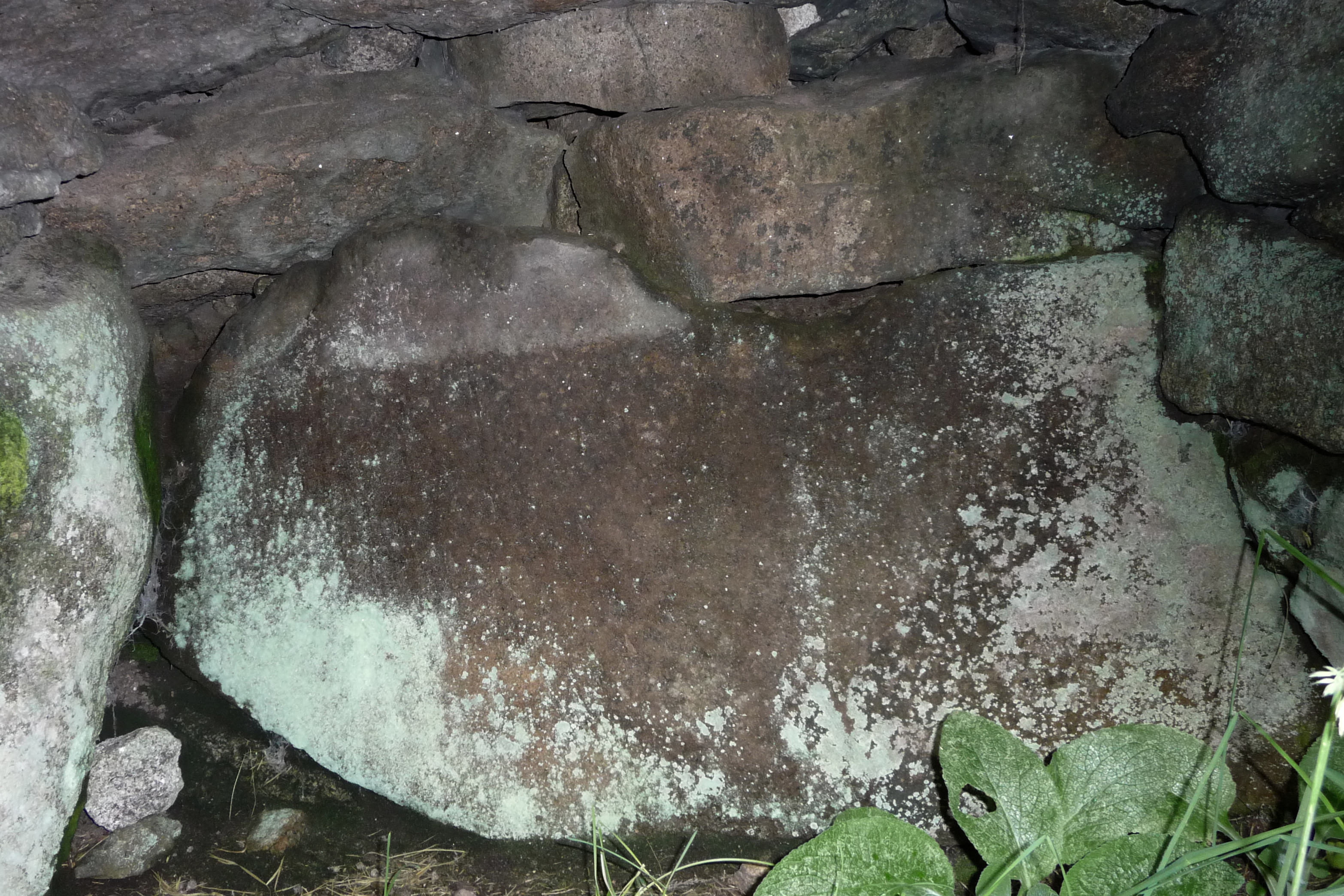
The entrance grave, set into the southern wall of the outer collar, is partially hidden by summer vegetation giving it a cool, leafy feel. It would be impressive in its own right, but here it simply serves to enhance the much larger mound above. Climbing over the outer collar, the well-preserved southern cist is set into the inside of the wall at almost the same position as the entrance grave is in the outside (see plan from info board). It is the only one of several original cists that retains its capstone, as the others went “missing” after Copeland Borlase excavated and exposed the inner workings of the mound. The circular space between the outer collar and the inner mound is not an original feature, having been inserted by Copeland Borlase to allow visitors to see the interior more easily. Walking around this narrow passage gives a great sense of the scale of construction, as the drystone walls are at head height on either side. Foxgloves grow in the light soil. At the northeastern part of this passage, a second cist can be seen, sadly now lacking its capstone. There is also an unexplained “pit” set into the outer collar on the east side. A climb over the wall of the inner mound gives access to the central chamber, with a deeper pit – a grave? – at its northern end. There were further cists here, but they have also gone now. Even without a roof, it’s an intimate, enclosed feeling place, hidden away from view from outside.
We sit and enjoy the quiet for a while, as clouds form overhead. Eventually, we leave, heading back to nearby St Just along Carn Gloose Road. First fix of the holiday greatly enjoyed!

General view, looking SE inland to show how Bartinne Hill (with enclosure and cairns, left) and Chapel Carn Brea Hill (with entrance grave and cairns) are prominent on the skyline.

Stonework at the far end of the entrance grave.


Inside the southern cist. Spider-senses tingling...

The remains of the north-eastern cist, with the capstone now missing.
