
Lanyon Quoit, photographed from the north-east on 8 May 2004. © Chris Bond.
Image credit: Chris Bond

Lanyon Quoit, photographed from the north-east on 8 May 2004. © Chris Bond.

Lanyon Quoit, photographed from the south on 8 May 2004. © Chris Bond.

Lanyon Quoit, photographed from the south on 8 May 2004. © Chris Bond.

Lanyon Quoit, photographed from the south-south-east on 8 May 2004. © Chris Bond.

Lanyon Quoit, photographed from the south-east on 8 May 2004. © Chris Bond.

Lanyon Quoit, photographed from the south-east on 8 May 2004. © Chris Bond.

Lanyon Quoit, photographed from the east on 8 May 2004. © Chris Bond.

Lanyon Quoit, photographed from the north-north-east on 8 May 2004. © Chris Bond.

Lanyon Quoit, photographed from the north-west on 8 May 2004. © Chris Bond.

Lanyon Quoit, photographed from the west on 8 May 2004. © Chris Bond.

Not far from an underground bunker/signalling station that I’m not sure I should a) know about or 2) tell anyone about!

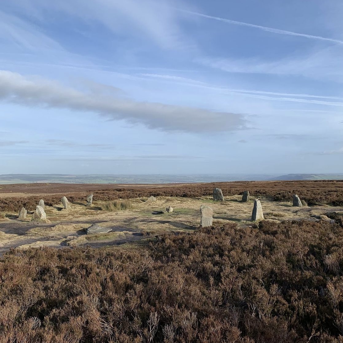
Taken early in 2024 after a huge 17mile hike!


The Witch’s Stone looking like it is auditioning for the part of The Spirit Of Dark & Lonely Water public information film from the 1970s…
One may have ‘heard about the bird’... but what of these two beauties only (re)discovered in 2015? No, really.


This, a somewhat shy, retiring monument (owing to its more or less complete grassy mantle) is nonetheless well worth engineering a horseshoe walk to visit, while also checking-out the cairns at Carn y Groes and Esgair-y-graig. The exquisite placement within the landscape is the icing on the cake, so to speak.
CPAT reckons: “This cairn is grass-covered and obscured from view but still survives relatively intact. It lies on a gentle northeast facing slope and the land dropping away to the southeast. It measures 9.0 metres [c29ft] in diameter and 0.3 metres high (Trysor, 2014).”
Now there’s always something a little more exciting – should one happen to be excited by this kind of thing – when a monument is accorded a personalised name upon OS mapping. However, that’s not to say the remains will always live up to the heightened expectations...
On balance, I reckon Castell y Garn, the remains of a ring cairn upon a c1,620ft summit between St. Harmon and Bwlch-y-Sarnau, manages to not disappoint. Reached by a stony track from the latter hamlet (including a short, sharp deviation uphill), the setting is airy and rather spectacular, with panoramic views to the Wye Valley and Cwmdeuddwr Hills to the west. The monument itself, however, is initially rather conspicuous by its apparent absence, with just a mutilated residue standing before a fence junction. Gaze beyond said fence, however, and a rather large diameter (apparent) ring cairn will be discerned.
There is no doubting the prehistoric provenance since CPAT notes:
“Williams [1858] records it as ‘a most perfect cairn accompanied with a stone chest, human bones, black earth and other corresponding appendages.’”
Sure, the cairn has clearly suffered much trauma since then, but thankfully still survives. CPAT adds:
“Site seems to be a ring cairn with a low bank 1.2m wide and 0.25m high visible most clearly in SE quadrant. Elsewhere, there is a low bank forming the outer edge, but no inner edge to the ring bank. Two fence lines cross the site and join in the middle. Although eroded in the past the threat is not so serious now as 10 years ago (CPAT, 3/8/00).”

Ironically enough, this is the only section of the monument shown upon the map. At least my map...


Don’t fence me in! There is a field gate some distance to the southwest (behind me taking this picture) allowing access. I felt pretty sure the landowner would not object.


The circular bank can be seen curving away to the left...
