
The view inside of the suspicious hole, filled with fallen stones.


The south wall heads west. Scarba, the island with the hill.

To me, the line suggests another possible entrance and a definite change of builder.


At some points the wall is over 3.5m in width.

Looking down on top of the the possible souterrain.
Excellent notes and photos with a lady in the hole.

The possible souterrain, very unlikely and no old lady with old fashioned clothes stuck in the hole. (see Canmore link)


As normal, a walkers cairn on top of the north east section.

On the top of “Hedgehope,” the round-headed hill that is neighbour to Cheviot, there is a hollow in an incised stone, known as the “Bluidy Trough,” on account of the colour given to the water by the orange-red moss or lichen covering the stone. It is lucky to make a wish here, and drop in a crooked pin – a great number can be seen clearly, lying at the bottom of the hollow, in the water.
- Contributed by Mr T--, Belford, Northumberland, estate agent.
This from the Northumberland ‘County Folk-Lore’, collected by M.C. Balfour (1904). Perhaps the colour might be down to that red coloured algae you get in bird baths sometimes?

Photo taken from the Southern end of the barrow, it’s behind the trees in the roadside ditch. The road and ditch have cut through the barrow, I could just about make out the cross section of the structure although a bit tricky with the trees in the way.


The north east side of the entrance, with walls continuing.


Photo taken from the North end looking towards the road from Adderbury to Bloxham (L to R).

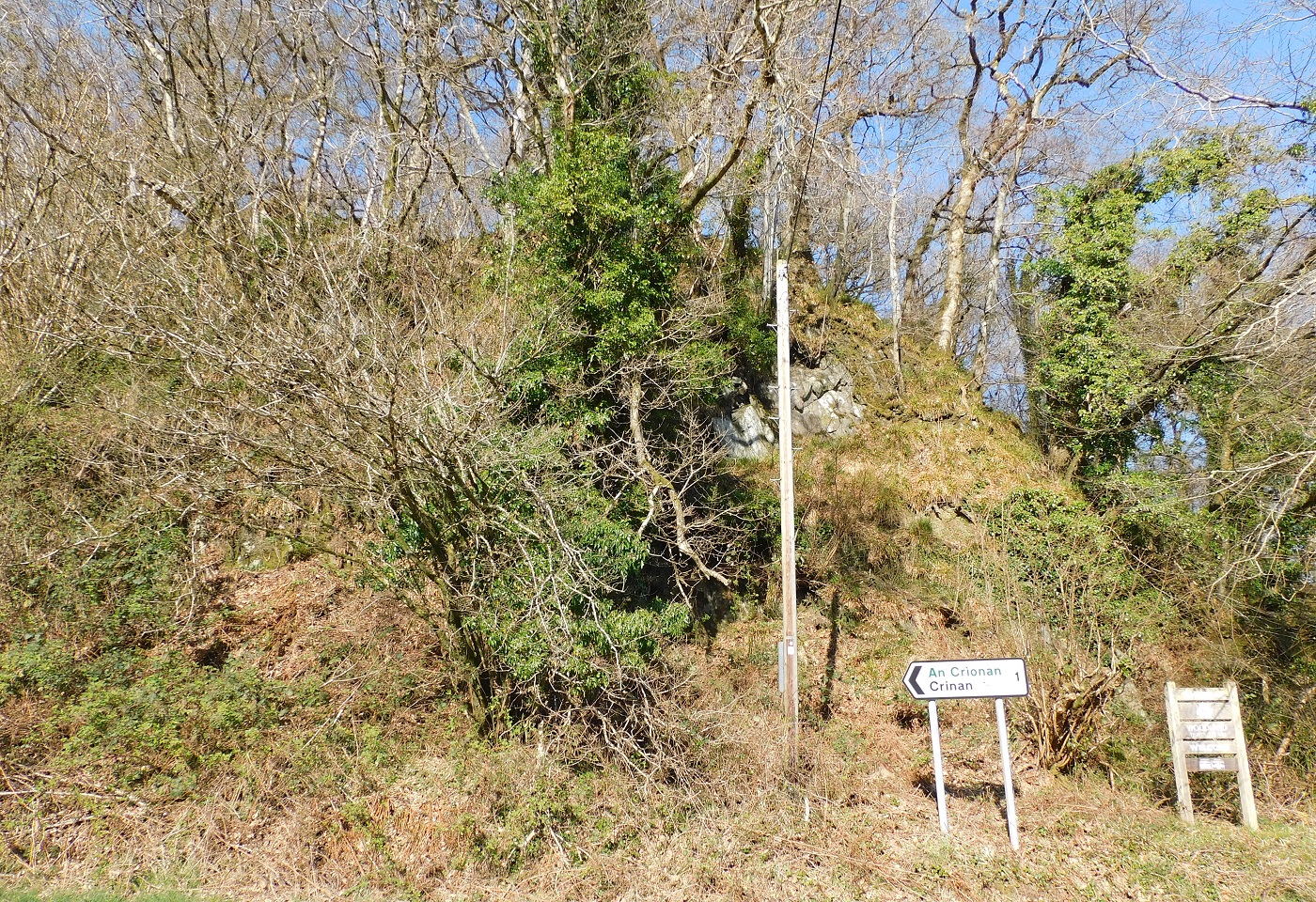
Taken from a pile of logs next to the track on the south west. The walls of Castle Dounie in the middle.