Bronze Age axe found in Whaley Bridge
As reported in the Buxton Advertiser, a good quality find of a Bronze Age axe 1100-1600 BC was found in Whaley Bridge in January.
|
       
|
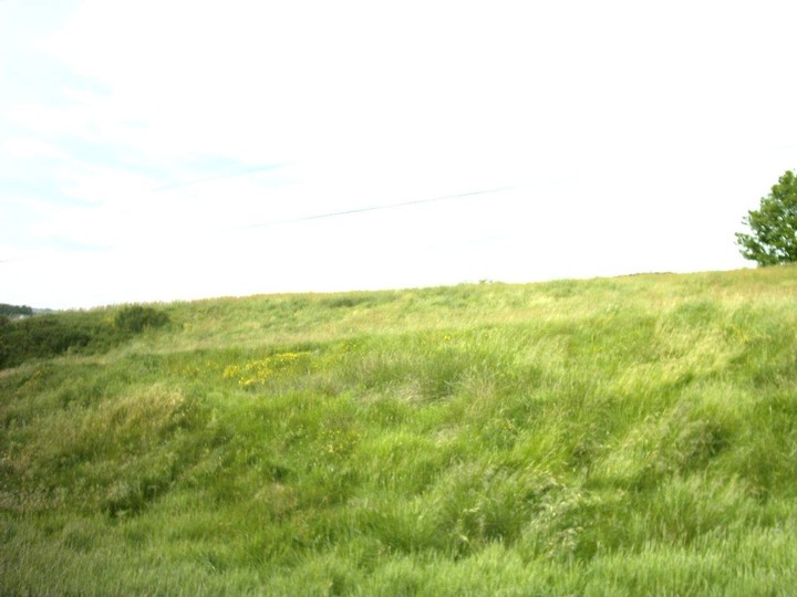
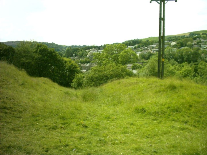
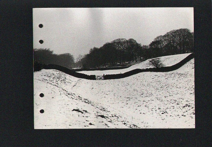
The Roosdyche is a large trench on the Western slopes of Eccles Pike .The dyche runs North-South and is approximately 740 metres long with a maximum width of 32 metres and a maximum depth of 12.5 metres.The name Roosdyche was marked as an antiquity in the Ordnance survey sheet no 81 N.W quarter published 21 st march 1842 and is the earliest reference to the site that can be found .
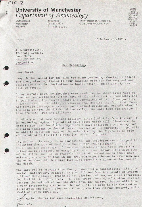
What it might be is a subject of conjecture older locals will remember that it was described as a Roman chariot course very unlikey accept it does suggest the site was a one time circular or oval . The Roosdyche has been investigated by R .H Johnson in 1962 and students of Manchester University who concluded that it was probably of glacial origin with some
modification by man .
There are however several signs of occupation finds of stone domestic hand tools have been made I have two authenticated specimens .
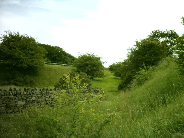
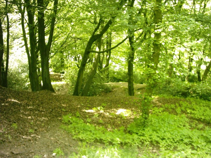
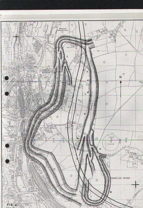
Traces of earthworks exist in the Northern and Southern ends of the Dyche turning Westwards .However in The Bings Wood area very well preserved ditches can be found .
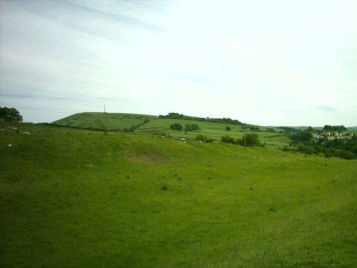
The defences extending westwards from the Roosdyche appear to be of classic Iron Age multivallate type and they are defending higher ground .The Roosdyche section of the defences is unusual in that this defended area is lower than the surounding ground and that a multivallate ditch systems would not give any advantage to the defender .
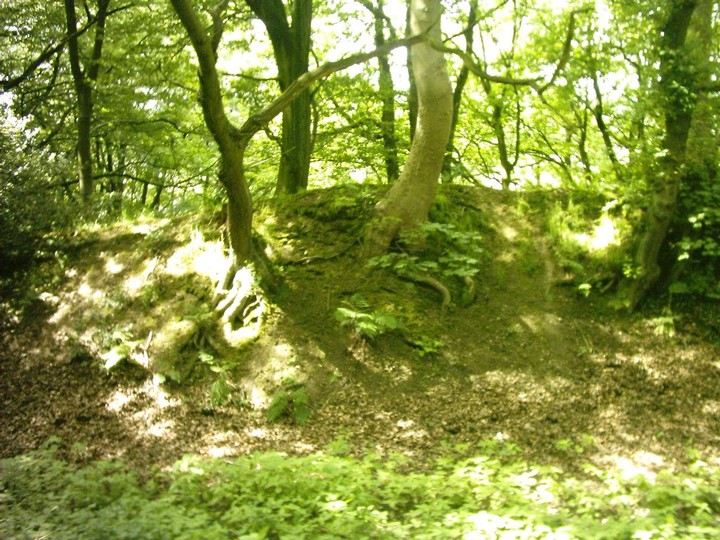
The required defence against slingshot and spears etc would be a flat bottomed ditch wide enough to make missiles from the higher Eastern ground ineffective and to create a killing zone for any attackers venturing in to the bottom of the ditch . Venutius was believed to employ different ditch defences to the Iron age norm .His expirience fighting with the Romans prior to the rebellion may have led him to do this .This ditch could have been modelled on those lines. The single rampart defence would have been strengthened by a wooden pallisade .
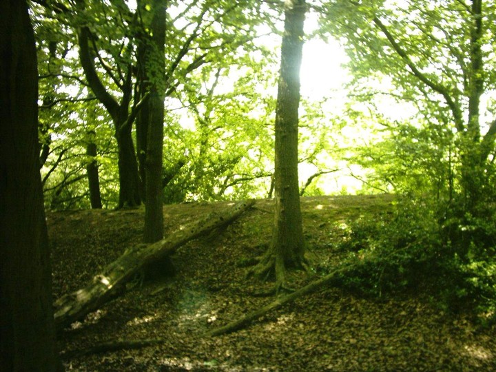
Iron Age forts had an entrance maze to keep any attackers at a disadvantage .One can be reconstructed out of the remaining ditches that Johnson thought were tributeries to a glacial meltwater stream .These ditches are broken straight through by the road that goes up to the Old Cricket ground and though Johnson concludes the Western rim is man made ,how did he conclude that the other ditches that interlock there including the Dingle which is multivallate were of glacial origin .
The Dingle ditches turn round the back of the main Roosdyche almost linking up near the old pig stys .they probably did as we Know this is where there was an old coal mine and just as the ditches at the Bings/Buggesworth end were quaried away so were these .
The Dingle ditches leave a flat plateux between themselves and the main Roosdyche and therefore we have a multienclosure site
consisting of main miliatary defences and living area with possibly Animal Enclosure or special persons residence such as at Stanwick
|
| |