
Forcing my way to the crest of the eastern inner bank... some things have to be done if you relish that ‘hands on’ vibe.
Image credit: Robert Gladstone
Forcing my way to the crest of the eastern inner bank... some things have to be done if you relish that ‘hands on’ vibe.


Looking approx east across the enclosure. One wonders how much has been claimed by the estuary waters over time?


The now no longer very ‘new’ second Severn crossing from the western end of the main inner bank.... incidentally, currently just about the only section of the defences one can ascend owing to otherwise extreme brambles etc.

The inner bank from within – looking approx southeast

Looking towards the massive – if more-or-less prohibitively overgrown – inner bank from the approx northwest.


Annoying people for scale.... apologies, it’s been a while since I’ve been somewhere with others actually on site!

The counterscarp may well fool one into thinking this is bi-vallate...

Although univallate, the defences here are impressive...


Well worth stopping when passing Membury service station upon the M4. Membury, of course, is another wondrous story..

Ok, mudstone might not be the most ‘refined’ of construction media, but fair to say longevity isn’t an issue...

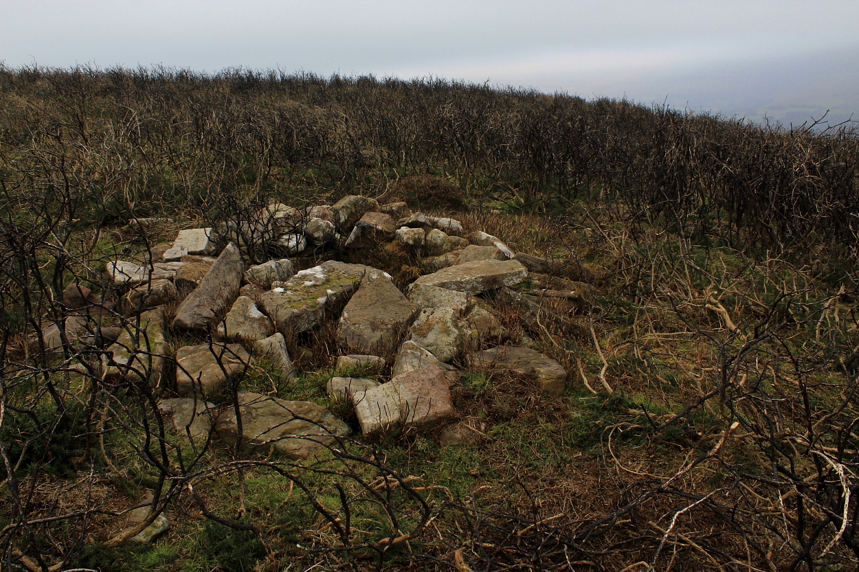
Note the remains of the former cairn...

It’s probably fair to say that the excellent dolmen at St Lythans – what with the overwhelming Tinkinswood just down the road – would be found in the kitchen at any ‘Chambered Cairn Ball’... but then, that’s not necessarily a bad thing, is it?


Worth dropping in again after all these years to remind oneself just how substantial this capstone truly is....

Since Toby Driver gives it a spotlight in his recent book I guess I really had to...
Hard to find... and harder to photograph, this was my favourite site of the day.

Once posited as a medieval well... “The suggestion that this may be a well-chamber is clearly erroneous, although the cist may have been added to later to form a small shelter. (CPAT 2003)”

Not having researched beforehand, this one proved a very pleasant surprise.

Arguably, winter is the optimal time to visit Pen-yr-Heol Las...


Looking towards Mynydd Llangorse ... quite a few cairns that-a-way, too.


An unexpectedly substantial monument, with a smaller example just north.
A well preserved cist upon northern Cefn Moel...
A walk to the ‘Bwlch Cairn’... and on to Pen-yr-Heol Las, via Ffynnon Las.


The foreground plaque, incidentally, commemorates (appropriately enough) a Mr Robert Moor who died in 2021. Now, just as I was pondering who this chap was – and why here? – who should turn up en-masse... but his family. Me: Any idea who this man was? Young girl: Yes. My grandad! Quite bizarre. It appears the former gentleman was a local and said family had no idea they had placed his ashes at the burial site of another village ‘elder’... albeit one who lived millennia before. Continuity, right? “Great Love Lives On”, to quote from the dedication. Indeed, so it does.

Highlighting how one should ALWAYS look beyond the obvious modern marker cairn....


Not the finest of weather/light... but hey, a pretty good cairn
The approach to arguably one of the finest cliff forts in the UK... Careful, now.
Well, it would be rude not to drop in having spent some more quality time at Tinkinswood, right?
Located a little south of the substantial Gaer Fawr enclosure, this is shown upon OS mapping and, despite Coflein’s reticence to assign a prehistoric providence (possibly due to the surmounting apparent field clearance), I reckon the footprint is pretty conclusive.
Call this visit a belated Christmas present from old St. Nick lodged just up the road. Apparently.

As bonus sites go, this is surely up there with the best?