March 2015
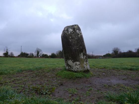
Image credit: Michael Mitchell
March 2015

March 2015

March 2015

March 2015

March 2015

March 2015

March 2015


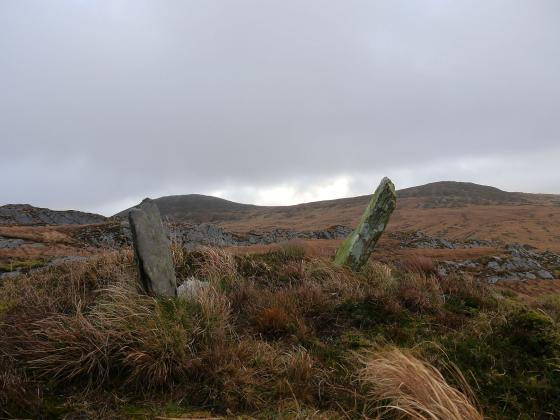
Looking north, notice the double walling

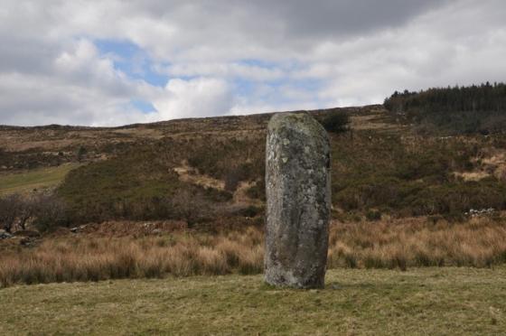
The rear slap is really massive

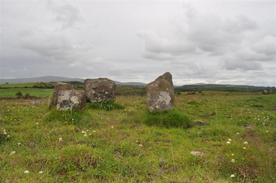
Northern side of this nice, but very overgrown tomb