
Looking to the north west. Tombreck Hill in the background.
Image credit: drew/amj
Looking to the north west. Tombreck Hill in the background.

A possible fallen standing stone.

Flooring on the ring cairn floor heading north.

A stone near the recumbent setting has seen a bit of drilling.

Kerbs on the south east flank.

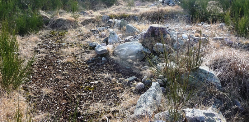
The bank on the western side.


Looking west over the site towards Morven.

Or is it a cist?

Possible fallen stone in the north west section.
Showing kerbs from the ring cairn.


Just after the Queen’s viewpoint on the road to Tarland, to the west on the B9119, I took the road to Alamein Farm to see what Tiompan had been excavating. A few yards west from here is the famous souterrain at Culsh. At the farm I asked permission a bemused tractor driver for permission to park, which was given. He didn’t have a clue what I was talking about.
From here take the track uphill to the north and keep going all the way, over the gate, until a deer fence is reached. From here go though the gate at the fence to east and look for a single tall tree. The site is just to the north.
The size of this site is breathetaking, the ring cairn had a double kerb. Just outside the ring cairn might also have been a RSC because of the 2 possible sockets for flankers and a gap left for the recumbent. Also noticeable is the amount of stone flooring. When I first arrived my first thoughts that this was a large henge due to the banks of stones. According to Canmore, canmore.org.uk/site/138717/blackhills, these might have been used by onlookers to look at Lochnagar, which today was impressive as it shimmered white in the Spring sun. The site would have had (and still has) stunning views to the circles at Tomnaverie, Waulkmill and to almost all of the surrounding cairns. Pittenderich is immediately west. Also clearly visible is Mither Tap (Bennachie) to the North East.
After phoning Tiompan , later that day (he loves the Doric dialect), I discovered that 13,000 pieces of quartz had been used at the site to cover funeral pyres. This must have been some place. Hopefully more excavations will take place to uncover more secrets.
With that it was time to look for other sites on the hill. These, sadly, appear to have suffered badly at the hands of the forestry people as I couldn’t make out any definite structures.
So, eventually, it was back down the hill on a sunny day enjoying the sights/sites of the Howe Of Cromar. The tractor driver continued to work in the fields which had probably been worked on for thousands of years.
Visited 9/3/2017.
Recent excavation has discovered that what was originally considered to have been a hut circle or roundhouse is at least a ring cairn , but a gap in the bank/platform is the right size and orientation for a recumbent , complete with sockets either side of the gap suggestive of a setting for flankers .


