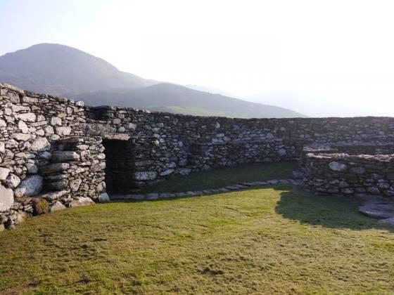
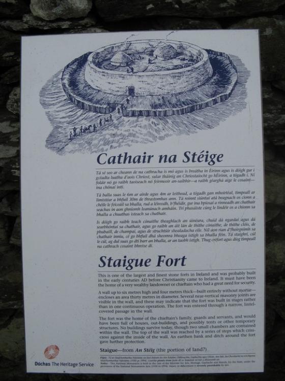
July 2014
Image credit: Michael Mitchell
July 2014

July 2014

July 2014


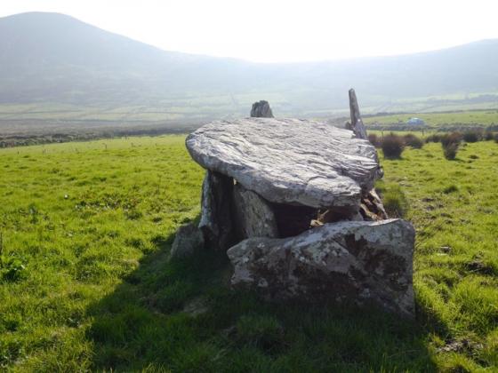
Panoramic shot a this great wedge tomb


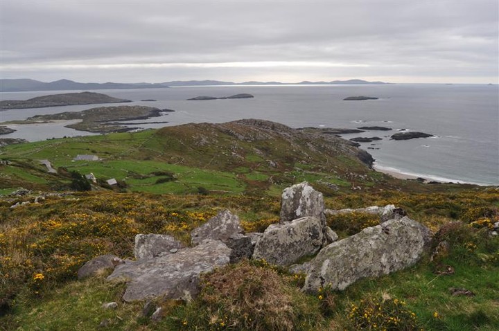
Coomatloukane wedge tomb is visible towards the center of the image, the two islands from left to right are Deenish and Scariff

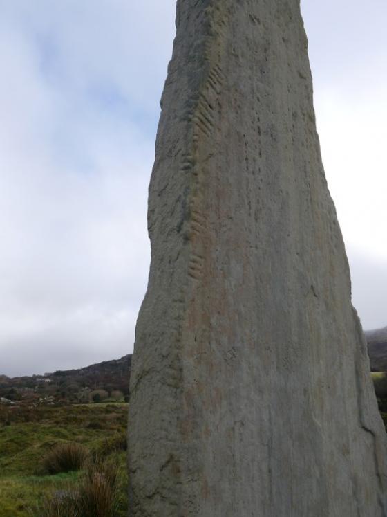
Overlooking the Beara Peninsula this wedge tomb is very close to the main road