
Cornwall has lost a county figure in the death, at the age of 84, of Miss Lydia Harris Borlase, of Castle Horneck, Penzance. Miss Borlase was a member of one of the oldest families in Cornwall, and was connected with other county families. ... For a long period the family seat was at Pendeen Manor. Later, Castle Horneck, near Penzance, became the family home. ... One of its features is a secret tunnel which led from an old cellar to an earthwork near Lesingey Round by the St Just road. Few local people know of the existence of this subterranean passage. The reason for its construction is apparently unknown. ...
From the Western Morning News, 18th April 1939.
I do kind of wonder if this isn’t confused, as there is of course the Fogou at Pendeen. But since Lesingey Round gets a namecheck, perhaps it isn’t. Perhaps all one’s country houses should have an underground tunnel to the nearest ancient landscape feature of note.
Speaking of Miss Borlase, I found another article mentioning both her and the Round, from the Cornish Telegraph of the 3rd of August 1899: “The monthly excursion of the Penzance Natural History and Antiquarian Society took place on Friday, the spot chosen being Lesingey Round. ... About seventy-five years ago the owner of the land planted trees on the spot, thus making it difficult for the antiquary to prosecute his researches. ... After admiring the beautiful and varied view afforded from the “Fort”, the excursionists made tracks for the charming grounds of Castle Horneck, where, through the kindness of the Misses Borlase, the party found agreeable and welcome entertainment in the shape of refreshments, an ever popular feature after the serious business of antiquarian research.
I joined an archaeological dig close to here which has been investigating another site with possible usage back to the neolithic. In time I’ll log that but perhaps it’s best kept unmentioned for now since the dig is ongoing – happy to share details privately.
Afterwards I decided go for a walk on the hill and “discovered” the maiden castle [hahaha] whilst checking out the graveyard structure which is basically next to it. The wall of that can now easily be seen from the footpath since the (plantation) trees have been chopped down. If you make your way over the logging destruction, then you’ll see the “castle” behind it marked by a ring of mighty beech trees. I guess it was a dun which has been looted over time?
Maiden’s Castle is a great location, was cool to stumble across it. The mysteries of Bennachie are plentiful!]
” Apart from evidence of non-ferrous metalworking, a piece of early medieval decorated glass and a glass bead, there are three radiocarbon dates from contexts below and above the inner rampart, and beneath the wall of the circular internal building, all of them falling in the range of AD 410-640. ” -hillforts.arch.ox.ac.uk/records/SC2962.html

Tresvennack Pillar, photographed from the east-south-east on 6 March 2004.

Tresvennack Pillar, photographed from the west-north-west on 6 March 2004.

Tresvennack Pillar, photographed from the west-south-west on 6 March 2004.

Tresvennack Pillar, photographed from the south-west on 6 March 2004.

Tresvennack Pillar, photographed from the south on 6 March 2004.

Tresvennack Pillar, photographed from the east on 6 March 2004.
A project to dig up a prehistoric ritual site described as “Cornwall’s ancient sacred heart” is set to go ahead after it received funding.

Forcing my way to the crest of the eastern inner bank... some things have to be done if you relish that ‘hands on’ vibe.


Looking approx east across the enclosure. One wonders how much has been claimed by the estuary waters over time?

Visited 03.06.25
Cairnholy 15 Carved Panel is located c. 6 feet SE of Cairnholy 13 Carved Panel on a rocky knoll c. 0.5 miles NNW of Cairnholy Farm in Dumfries and Galloway. The panel measures c. 2 feet ENE-WSW and 2.5 feet NNW-SSE. There are two eroded carvings on the central portion of the W half: a cup and ring carving measuring c. 4 inches in diameter and 0.25 inches deep and a cup carving measuring c. 1.5 inches in diameter and 0.1 inches deep. The cup carving is obscured by a white patch of lichen but a slight depression can be felt.

The now no longer very ‘new’ second Severn crossing from the western end of the main inner bank.... incidentally, currently just about the only section of the defences one can ascend owing to otherwise extreme brambles etc.

The inner bank from within – looking approx southeast

Looking towards the massive – if more-or-less prohibitively overgrown – inner bank from the approx northwest.


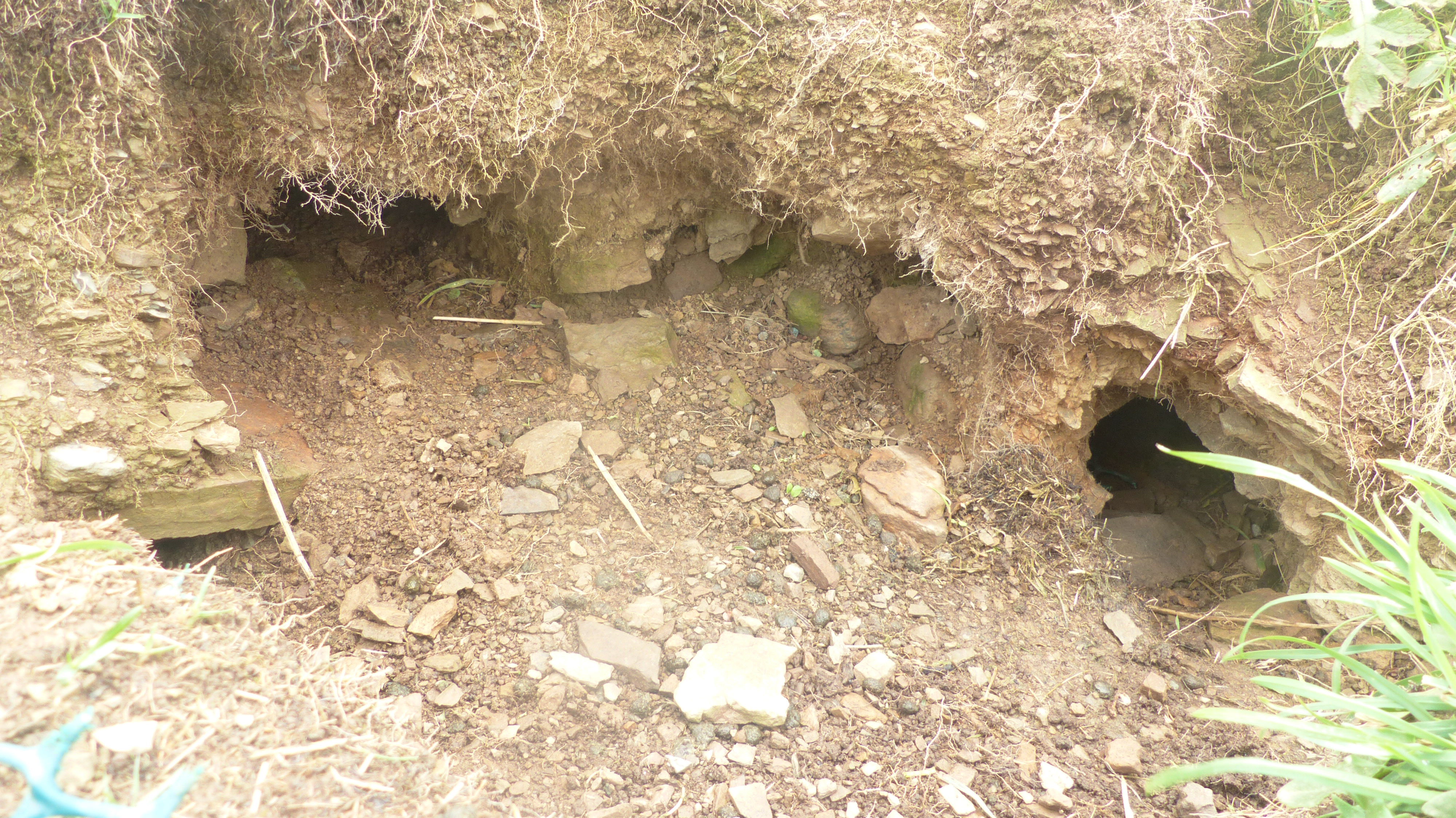
2016 inside one of the burrows a modern artefact looks like someone was digging illegally. August 13th
Visited 04.05.25
Cairnholy 13 Carved Panel is located c. 12 feet SE of Cairnholy 4 Carved Panel on a rocky knoll c. 0.5 miles NNW of Cairnholy Farm in Dumfries and Galloway. The rock art is carved on a sub rectangular panel measuring c. 5 feet ENE-WSW and 5.5 feet transversely, split in two by a grassy ravine. There are 7 cup carving right of the ravine on the N edge: a group consisting of 2 parallel lines of 3 cup carvings and a single carved cup. On the left of the ravine there are 2 central cup carvings and a cluster of carvings in the SW. The SW cluster has an eroded central cup and ring carving surrounded by several cup carvings. Canmore ID 368423 has further details of Cairnholy 13 Carved Panel.
On the SW corner of the panel there are two parallel deep grooves, measuring c. 6 inches and 1 foot respectively, which may be natural depressions smoothed and extended by domestic activity.

Maen llia is directly aligned, along with other nearby markers, with three of the four lunar standstills; major north set, major south rise, minor north set. The minor south set is referenced by the same markers.
This is the major south rising moon, june 11th 2025.
Visited 05.04.25
Cairnholy 14 Carved Panel is located c. 6 feet E of Cairnholy 4 Carved Panel on a rocky knoll c. 0.5 miles NNW of Cairnholy Farm in Dumfries and Galloway. Cairnholy 14 is a flat panel, shaped like South America, on the N edge of the ridge. There is a line of natural hollows running E-W on the S side of the panel. There are 2 carved cup markings in the centre of this alignment. The carved cups are c. 1.5 inches in diameter and 0.25 inches deep, adjacent to 2 deep natural hollows. Further details of Cairnholy 11 are available in Canmore ID 368424.
There are 6 carved panels on the knoll: Cairnholy 4,11,12,13,14&15.