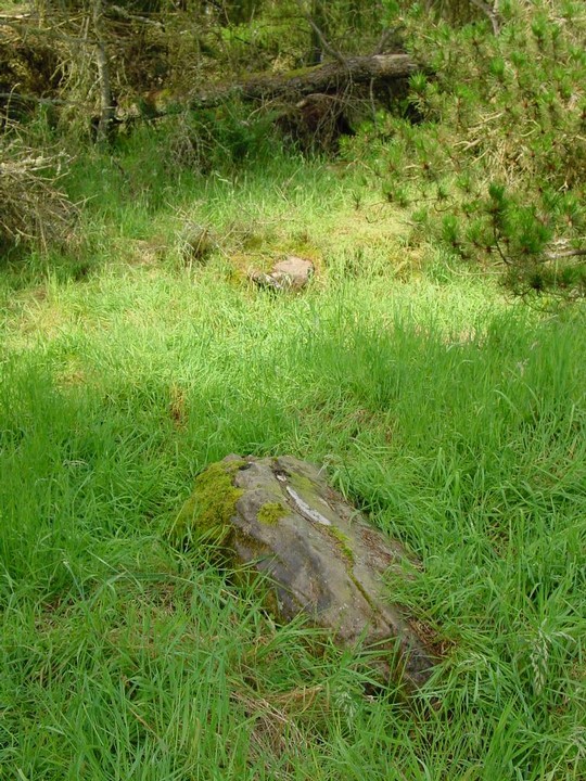
Friday 6/8/04
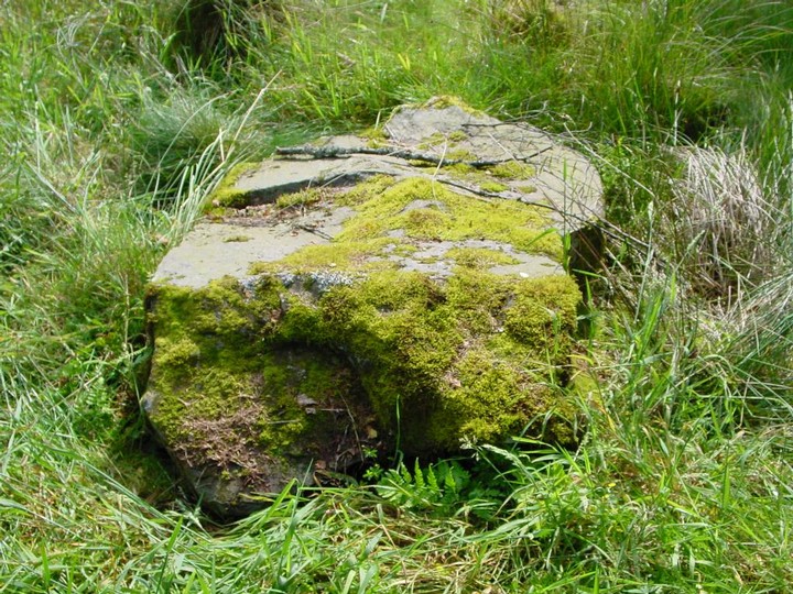
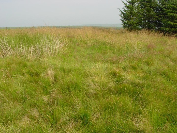
This cairn sits in the middle of this moor and scrubland with the tail end of the Pentland Hills to the east and Tinto to the southeast. A grassy mound rises from the moor to a height of approximately 1 m, but what makes this cairn particularly interesting is the short cist still in place in the middle of the mound. The cist is aligned NE/SW and is 1 m long by 33 cm wide by 58 cm deep. There are only four stones remaining- the cist is open at the SW end with no capstone either, but a large stone lies just to the east which may have been one of the uprights.
|
   
|
|
The Ordnance Survey Name Book records that human bones "of unusual size" were found in it about 1830, but nothing more is known about this discovery.
|
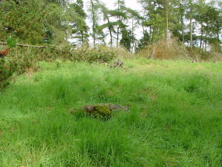
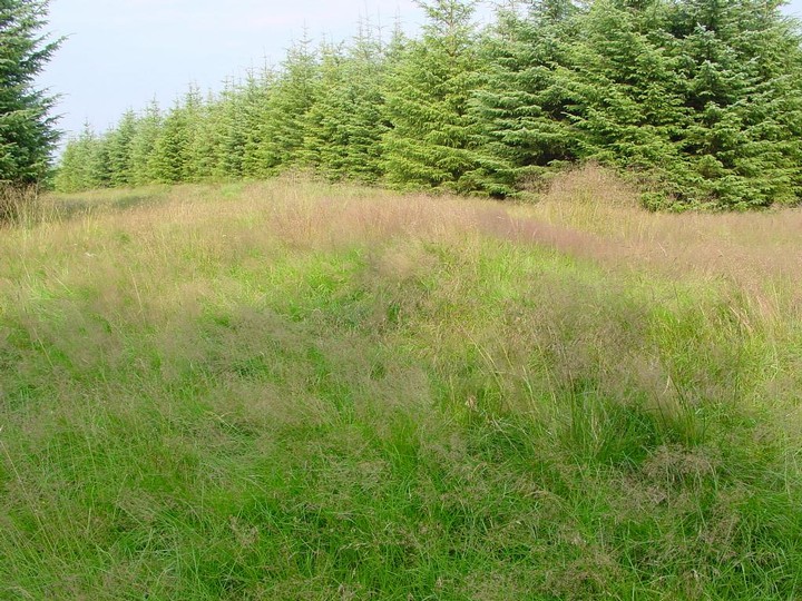
NT00644990
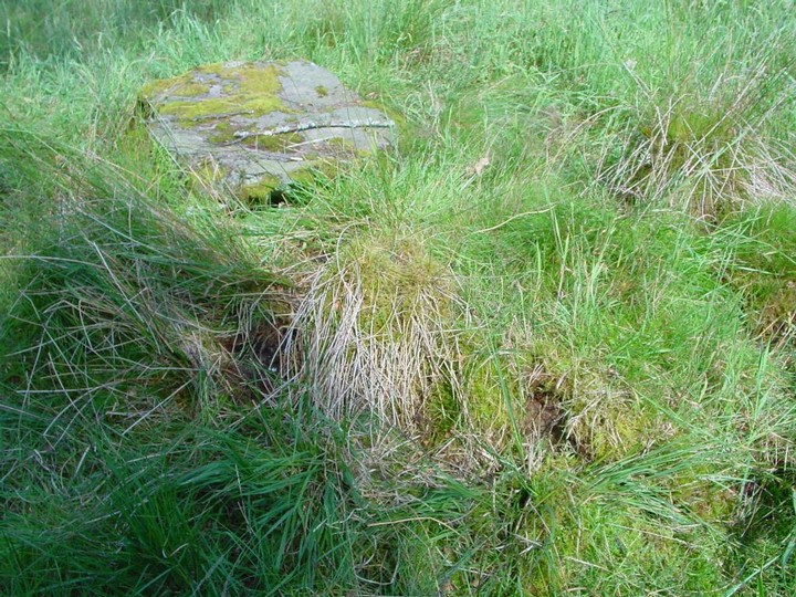
And only 200 metres from Wester Yardhouses cairn on a small hillock rising from the moor is this denuded cairn. A modern cairn has been built on top of the remains of the original cairn. Although this hillock is only 295 m high it still commands a great 360 degrees view from Tinto, Lanarkshire and the Pentlands. The cairn itself is about 20 m in diameter by around 1 m high (the modern cairn rises from this to a height of 1.2 m). On the S and E edge there are still some kerb stones in place- up to 75 cm to 1 m long by around 40 cm wide. Just 1 m N of the modern cairn there are two pits and also around the N edge many small stones protrude through the grass.
|
   
|
RCAHMS 1967:
A quarter of a mile NE of Menzion farmhouse, the road to Tweedsmuir passes between two standing stones. The more northerly stone, situated 10 yds W of the roadway measures about 2 ft. 3 in square at ground level and stands to a height of 2 ft 6 in. The other stone is 25 yds SE of the first and 12 yds E of the roadway. It, too, is almost square on plan, measuring about 2 ft 2 in along each side at ground level, and stands to a height of 2 ft.
And the OS report from 1972;
There are no standing stones in the area which is now under forestry but at NT 0938 2388 are two weathered recumbent stones measuring 1.9m x 1.0m x 0.4m and 1.4m x 0.9m x 0.3m which may have formerly been erect.
|
Friday 6/8/04
Approximately 130 m WSW of the Giants Stones there are two, now recumbent, stones lying behind a row of trees next to the road. The largest is lying NE/SW and is 2 m long by 1.1 m wide by about 40 cm thick. There is more moss and lichen growth on the NE end of this huge stones- was this originally the top? Just 10 cm away, but now completely covered in moss and grass (and I only found it after stubbing my boot on it!) is another large stones- this one is approximately 1.6 m square. Just 4 m to the S of this pair, another smaller stone lies- 95 cm by 87 cm by 20 cm. There is no mention of three stones in either the Royal Commission or OS reports from 1956 to 1972. Could there possibly have stood another trio of standing stones just S of the Giants Stones?
|
   
|
Friday 6/8/04
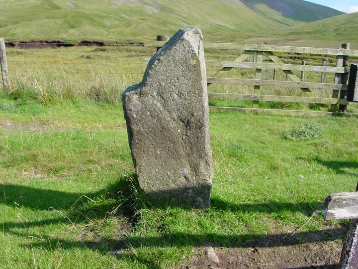
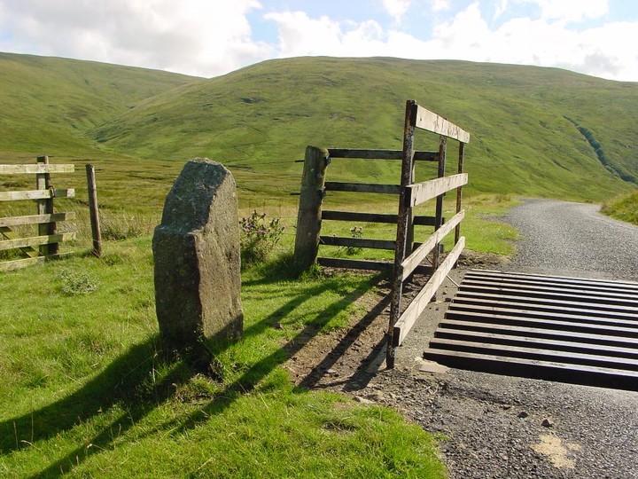
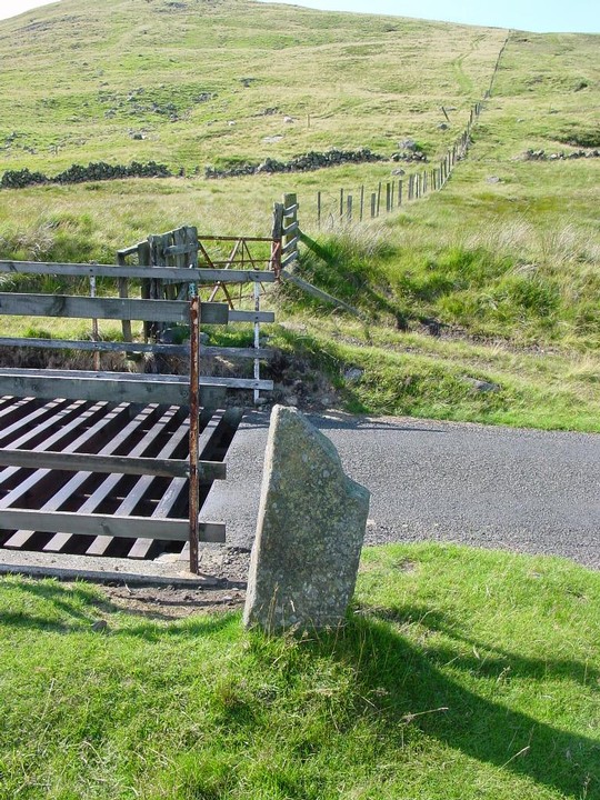
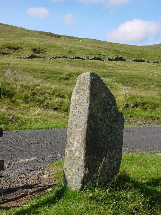
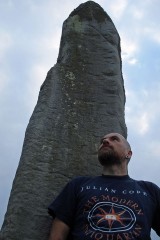
I almost couldn't find this obvious stone- there was a car parked next to the cattle grid where this stands and as it's only 86 cm high I just couldn't see it til the last minute before I was just about to get back in the car! This stone is now a boundary marker and marks the boundary between Selkirkshire and Peebleshire. As is the case with many boundary stones this was probably a re-used monolith. It's now aligned NE/SW and there is some carving on the W face-the only word I can make out is 'Tweed' (as in the river, not the cloth!).
|
 
|
RCAHMS description from 1978;
Some slight remains of a broch are situated 650m S of Calla farmhouse on a low rocky knoll (274m OD) at the SE end of Calla Bank. In 1972, only the tops of a few stones could be seen protruding through the long grass that covers the site. The plan, however, shows the features that were visible in 1952, when the site was discovered and planned by the RCAHMS. At that time the site, which has long been known locally as the 'old quarry', was already in a dilapidated condition, both the broch wall and its enclosing wall being reduced to low grass-grown stony banks. Nevertheless, by clearing back the turf and rubble from a number of facing-stones, it was possible to establish that the broch measured about 11.6m in diameter within a wall varying from 4.9m to 5.8m in thickness. Excavation would be required to establish the position of the entrance and of any intra- mural structures.
The broch stands within an oval enclosure formed by a wall, of which two long stretches of the outer face survive on the NW and SE respectively, but there are no visible indications of the thickness of the wall or of the location of the entrance. The outer facing-stones are set at a distance from the broch wall of as little as 4.0m on the SSE and as much as 12.2m on the N.
Three relics found at the time of the original survey are now in the National Museum of Antiquities of Scotland (NMAS). They are: (i) a roughly circular piece of sandstone, 56mm by 50mm and 14mm thick; (ii) a piece of cannel coal, 106mm by 80mm and 10mm thick, with an incomplete hour-glass perforation near the centre; and (iii) a rough disc of cannel-coal, 25mm by 23mm and 6mm thick, with an hour-glass perforation near the centre.
|
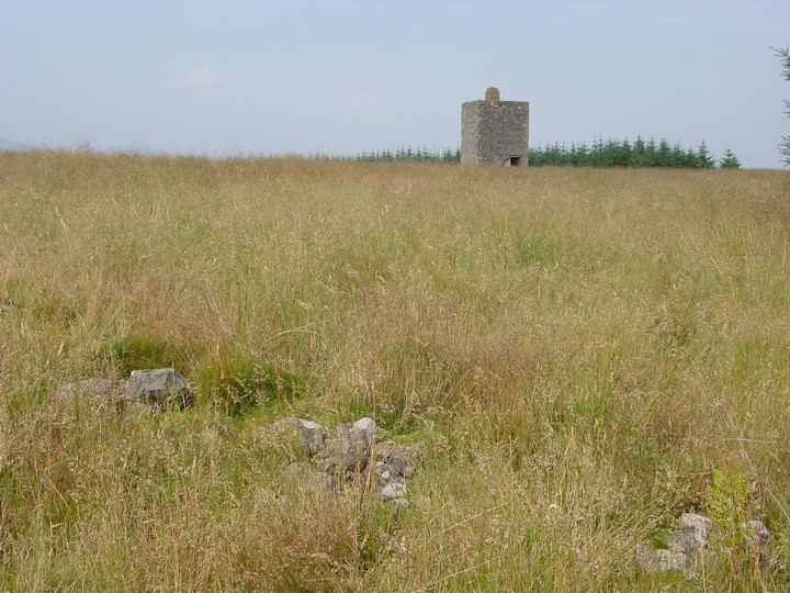
Friday 6/8/04
I cross a field of sheep in the direction of a small forest built upon a hillock only 274 m high, but still offering a defensive position as much of the land around is flat and falls away to the W. I find a gate through the electric fence (thankfully!) and scrabble through dense undergrowth and many felled trees. Unfortunately the remains of this broch are just that- much destroyed. There are remains of a moss covered wall section at the NNE and four very large stones on the NW side, some as large as 1.5 m long. But this site is covered in long grass and has also been forested and then harvested without clearing, so it’s very difficult to get an overview of this site.
|
  
|

|
     
|
Description from RCAHMS 1978;
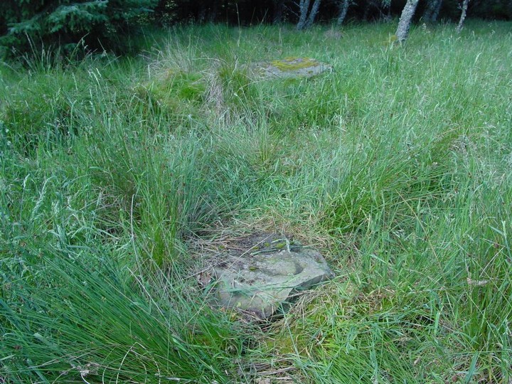
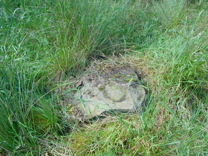
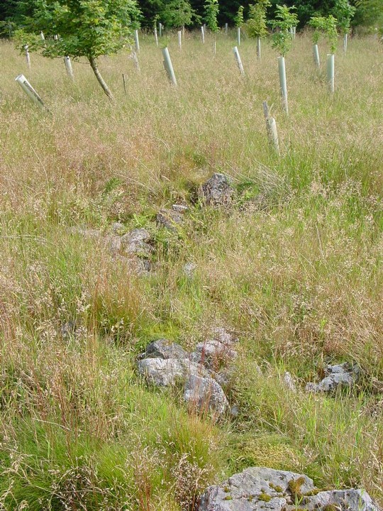
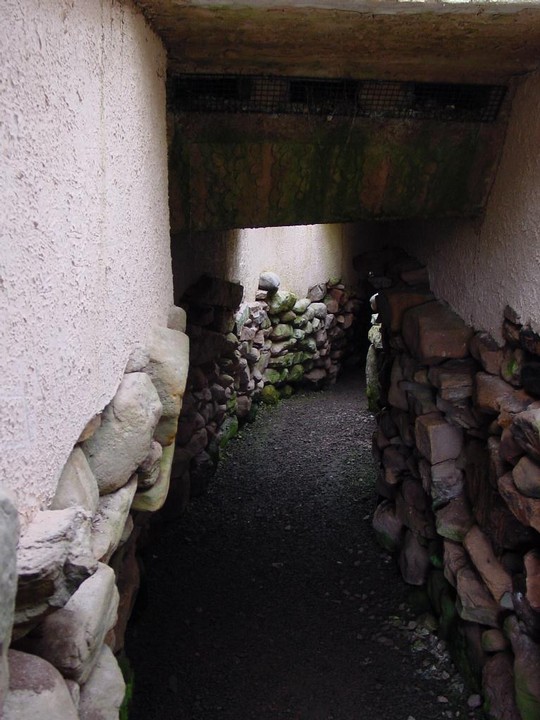
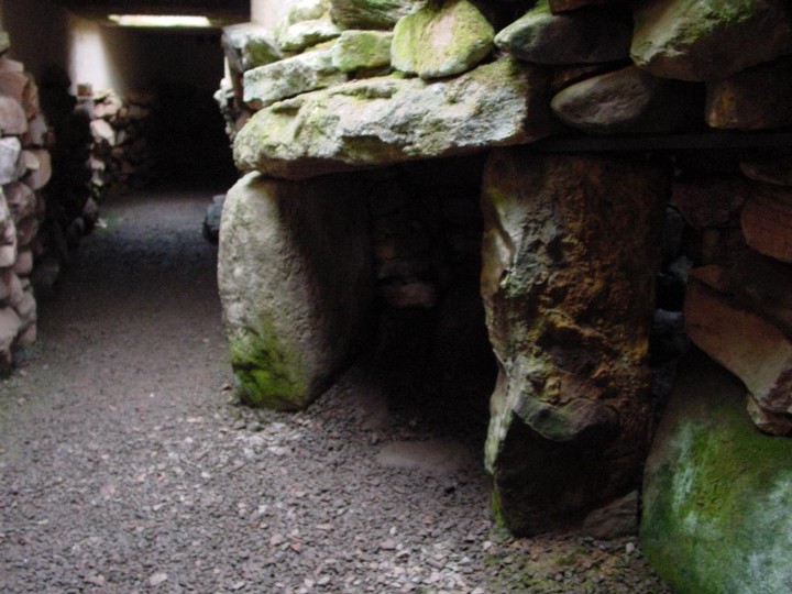
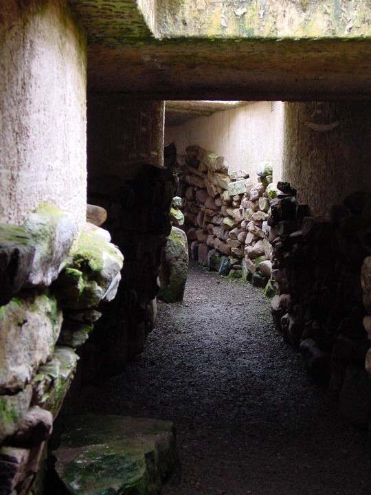
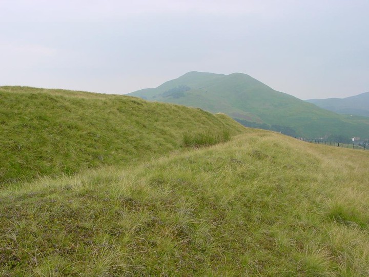
This souterrain lies on the crest of a low ridge 168m NNW of Wester Yardhouses farmhouse and under the foundations of a modern field wall. The passage has recently been deliberately blocked 4.6m from the entrance and the outer section reconstructed.
Excavations in 1923 (A Fairbairn 1924) revealed that from the entrance, which faced E, the passage ran westwards for 2.0m, then NNW for a distance of 2.7m, and finally W again for a further 7.2m. The width of the passage varied from 0.9m to 1.7m. The walls were corbelled and rose to a height of 1.5m at the point where they were spanned by the only surviving lintel-stone. In the two outer sections of the passage the basal course was formed by particularly massive stones, the largest measuring 1.9m in length and 0.4m in depth, but in the innermost section the lowest course consisted of large flagstones set on edge. The entrance was flanked by two portal stones, and another pair stood at the junction of the central and innermost sections of the passage. At the W end, where the souterrain was at its widest, traces of burning were found on the clay floor. The finds, which are in the National Museum of Antiquities of Scotland (NMAS), comprised chert and flint flakes, several scraps of hand-made pottery of indeterminate date, a block of 'red pigment' and fragments of medieval pottery.
Flint arrowheads have been picked up locally, and one perfect barbed and tanged specimen was found close to the entrance some years ago.
|
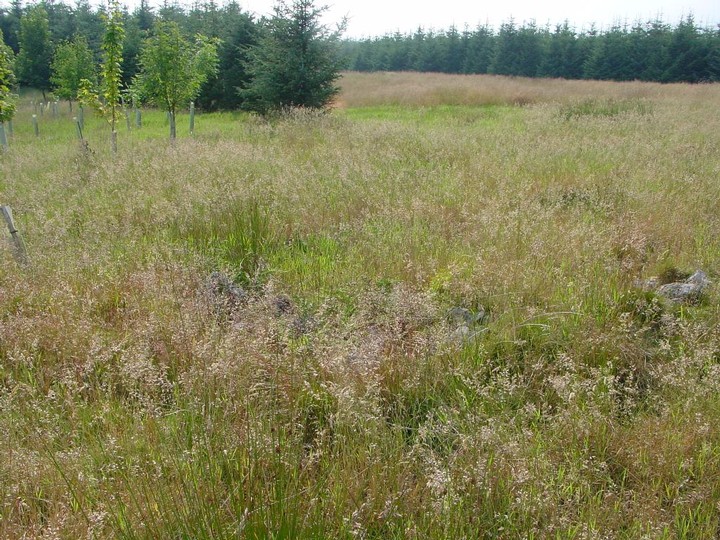
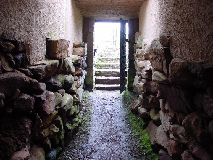
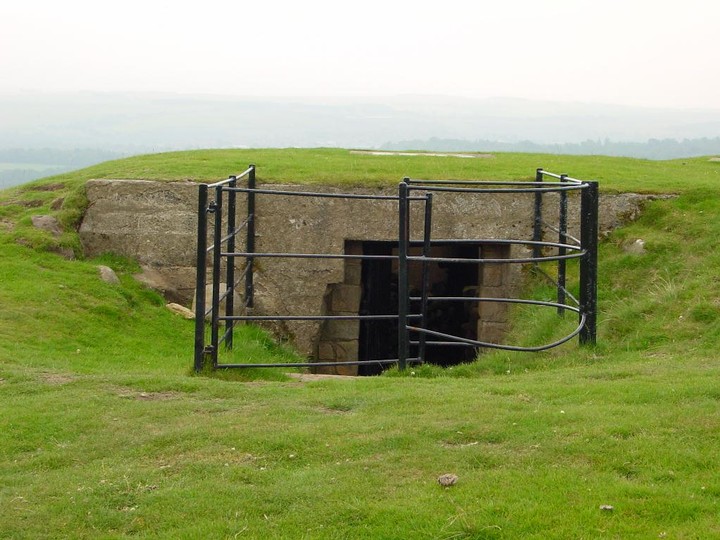
Friday 6/8/04
Driving way up a tiny country road (and I use the word ‘road’ in its loosest possible meaning- put it this way there’s grass growing up trhough the remains of the red tar in the middle of it!) I meet a friendly old man out for his walk in his wellies. I stop to ask him about the souterrain of Wester Yardhouses and if it is okay for me to visit and take some pictures, ‘aye, nae bother’! Turns out this guy is a font of local knowledge regarding antiquarian sites. He tells me about Scottish Water doing some work up on the hill next to one of the cairns and unearthing a massive stone but not really realising what they were doing! He also tells me of an old friend of his who stayed nearby, now long gone, who, every year, used to clean 13 old boundary stones that crossed the Pentlands. We make our separate ways and I head across to the corner of a lonely field of Lanarkshire. Under a dry stane syke, a hole. A muddy entrance 86 cm wide by 1 m high. However, this wouldn’t have been the original entrance as an unroofed section runs about 2.75 m EW before this. I put my hard hat and boiler suit on and crawl inside. The mud floor of the souterrain rises up for about 2.5 m and then falls away, but it has been deliberately blocked only about 4.5 metres from the present entrance. At the very end are a couple of piles of rabbit bones and skulls. There are still some massive lintels to be seen in the short passageway, one being about 1 m wide by 1.5 m long. I take some pictures, write these notes and head back to the car under a grey sky with nothing but the cry of buzzards overhead.
|
The dimensions of the three large sandstone slabs are;
(1) 1.12mX75cmX40cm
(2) 72cmX52cmX20cm
(3) 85cmX80cmX15cm
Plus five substantial boulders
|
|