|
  
|
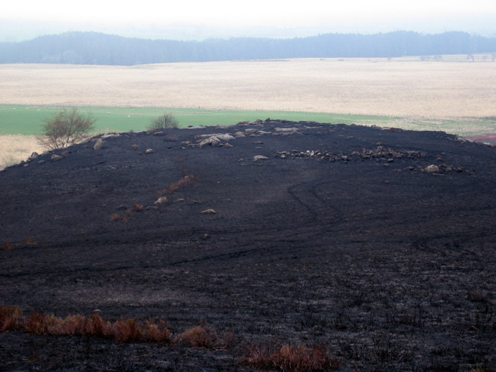
A search of Keys to the Past, the Northumberland & Durham archaeology site, for other rock art in the Ray-Sunniside area produced two possibilities. One of these looked quite interesting: 'Iron Age defended settlement and Neolithic cup marked stone on Great Wanney Crag (Kirkwhelpington). The crag is certainly an impressive place, regularly used by climbers and a good viewpoint. Despite its view of the Simonside Hills to the NE, I couldn't onvince myself that the cups and grooves on rocks at the crag edge were anything other than those produced by natural erosion. Perhaps there are some that started as artificial carving but it would be difficult to tell now. Maybe another visit in better light or more optimistic mood would show something up.
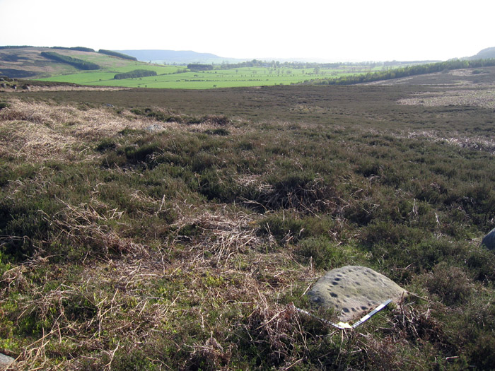
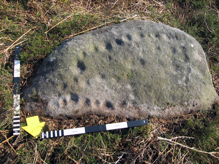
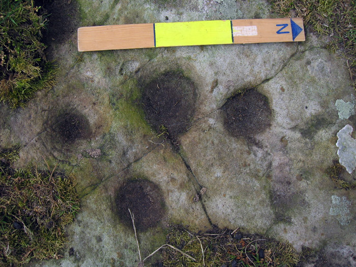
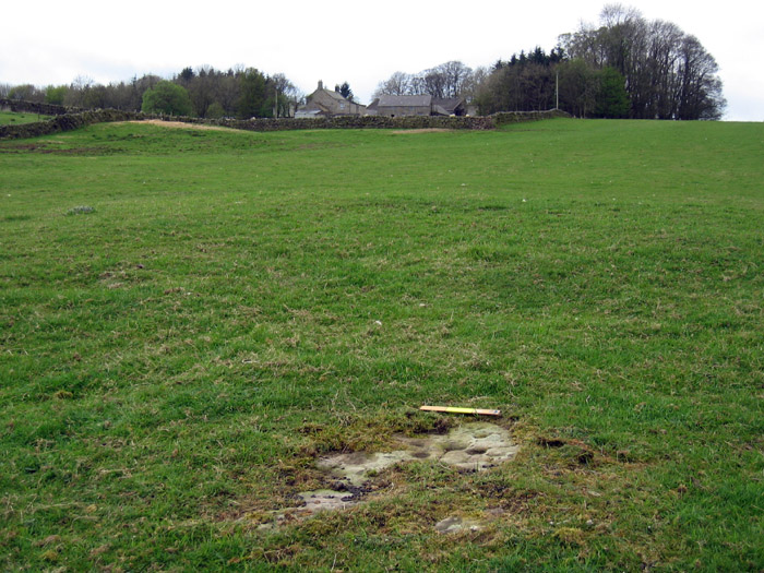
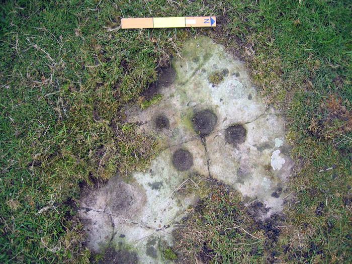
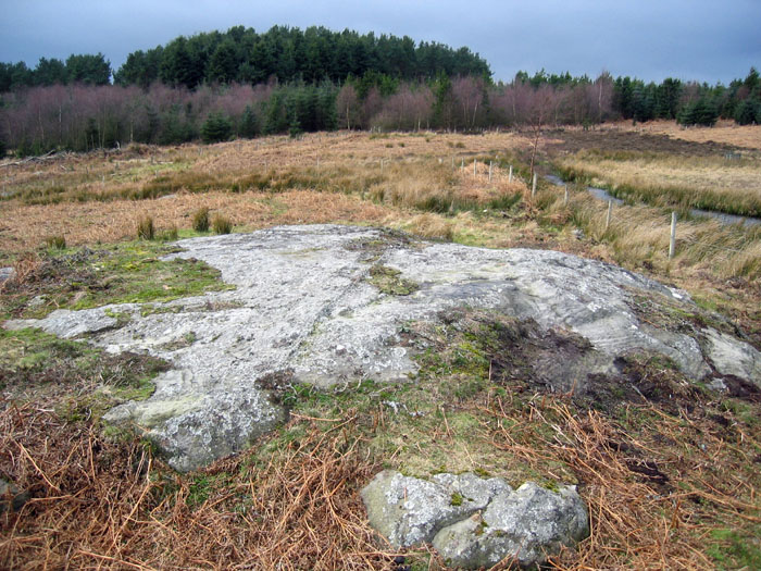
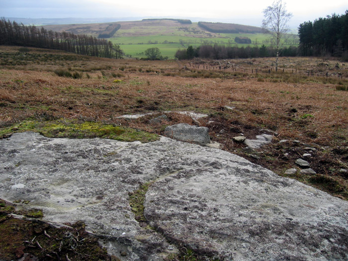
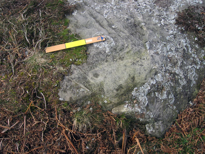
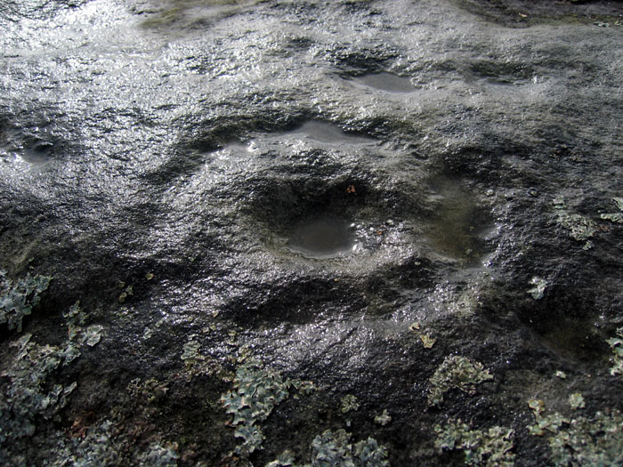
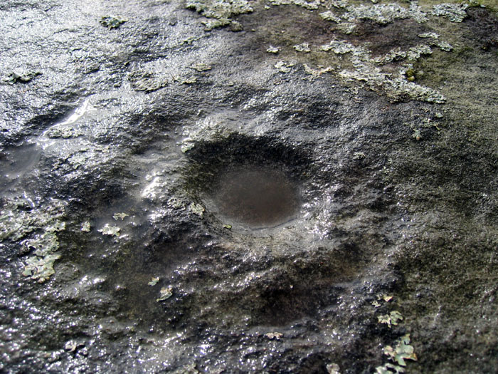
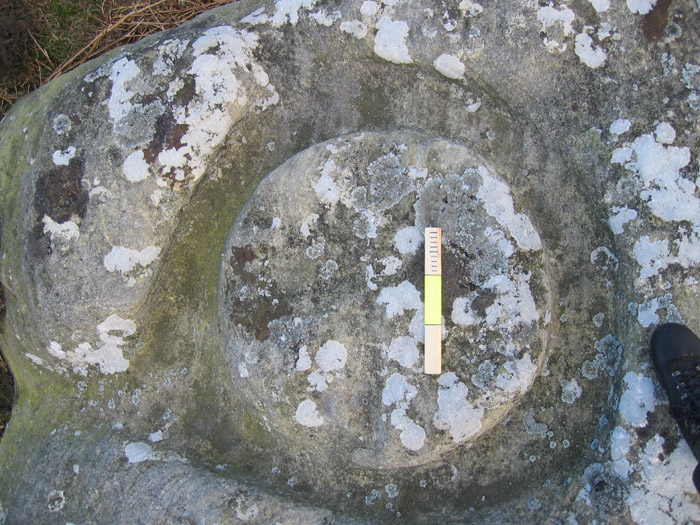
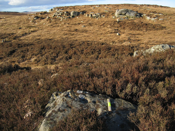
The second record, this site, certainly lived up to its description and there's certainly no reason to suspect that the cups here are anything other than artificial carvings. Hawick Farm is situated to the E of Sweethope Loughs about 2.5km S of Ray-Sunniside. The cup-marked panel is in a field close to a footpath some 200m E of the farm and lies on the E side of a grassy mound, partially turf covered (possibly a cairn?). 8 cup-marks were exposed, the largest 10cm diameter, the others about 5cm and between 2 and 3cm deep. I resisted the temptation to take anything more than a restrained peak under the edges of the covering vegetation and this only revealed some smaller cups. The horizontal rock surface appears to be partly rounded but its overall extent is hidden.
The surrounding land is gently rolling, improved pasture, mainly given over to sheep. The map shows enclosures and a tumulus two fields to the NE in the direction toward the deserted medieval village of West Whelpington.
|
 
|
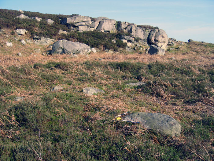
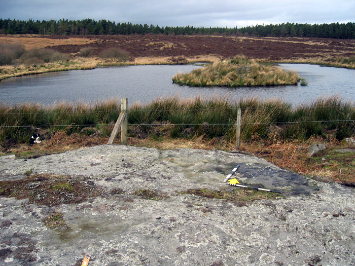
Hawick cup marked stone (Bavington)
|
   
|
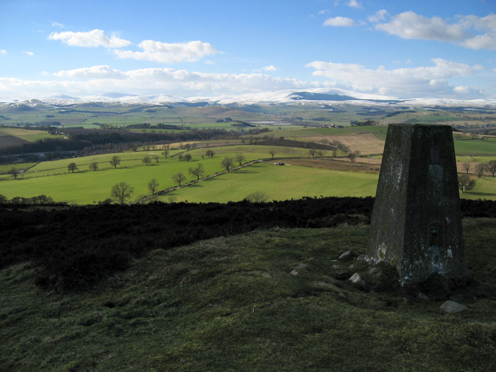
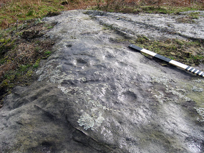
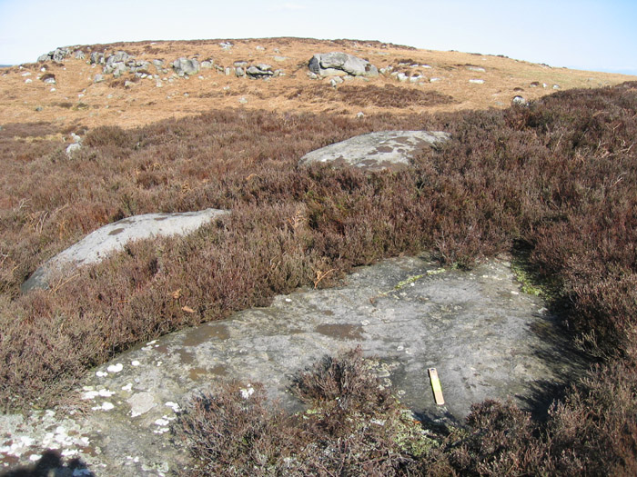
The region between the convergence of the A68 and A696 main roads on their way to Scotland is not known for its rock art and the cluster of 13 panels at Ray-Sunniside in the Beckensall Archive stands out. It is lovely walking country of rolling heather moorland and recent forestry blocks dotted on the map with cairns and ancient settlements of all kinds.
Although only 4km south of the impressive multiple cup and ring carvings of Tod Crag, all 13 rocks at Ray-Sunniside were described as having just single or multiple cup-marks, most were portable but probably associated with cairns. It's often hard to prove cup-marked rocks as being artificial and not natural features so I visited with an open and largely sceptical mind.
The site is approached from the minor road which runs between Ridsdale on the A68 and Knowesgate, just north of Kirkwhelpington on the A696. The main ridge is about 260m above sea-level and runs SW to NE on a slope south of Ray Fell.
There proved to be a large number of cairns, old boundaries and enclosures with a few remains of round-houses.
Of the Beckensall panels, I failed to find two (b and m) and six (d, e, g, h, k and l) were unconvincing as definite rock art as the cups were shallow. h is a strangely grooved rock but may be the result of natural erosion along the bedding planes. The others though have deep cups and several are located close-to or were closely-ssociated with the cairn-field.
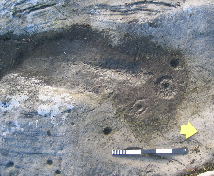
Although many of the cairns may have been for field clearance, a few may have been used for burials and the incorporation of portable cup-marked rocks in such Bronze Age cairns is a well known phenomenon. Rock i, for example, which has a single cup-mark about 8cm diameter and 4cm deep, lies close to a prominent cairn. The Archive entry quotes Phil Deakin that the stone was used as the end stone of a burial cist, facing inward. The cup-marks on a, c, f, and j, and also b and m on Archive evidence, are similar in size and form and I reckon are convincingly genuine rock art, albeit of the not very exciting kind!
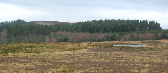
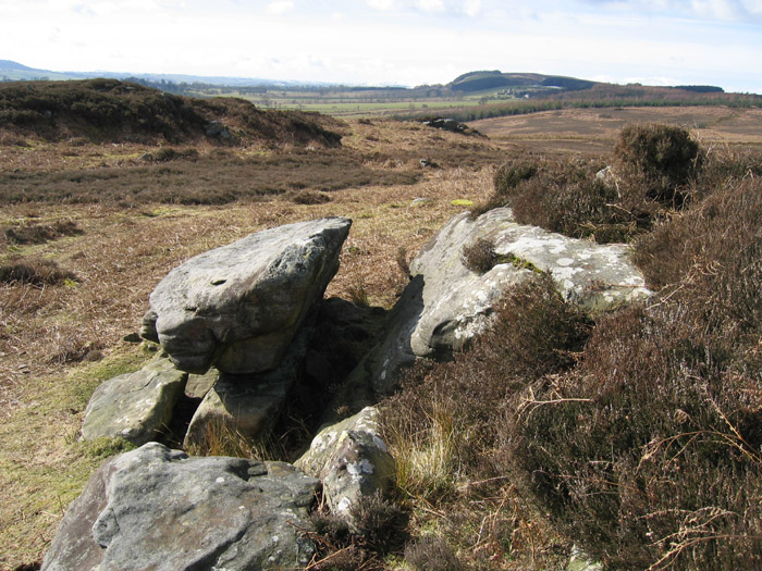
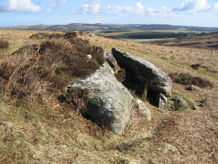
A search of the area on Keys to the Past showed two records under Canny Cleugh (the name of a small stream to the north). One is for an enclosure, field system, cairns and hollow ways of unknown date and the other for a field system, clearance cairns and the ring banks of round houses (seen on aerial photos) and assigned to the later prehistoric period. At the west end of the ridge is a very prominent rectangular-banked enclosure with the remains of round houses and a field system (given the name 'Sunnyside near Ferneyrigg') which links to a similar site to the SE ('Ray Burn') by a hollow way. These are both described as Roman-period native farmsteads.
|
 
|
              
|

|
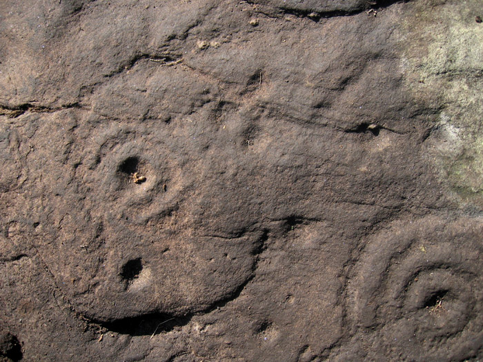
Friday proved to be a windy day up at Hunterheugh and the rock art team decided to try a bit of exploration. My main motivation for visiting this site above Titlington Mount farm was to compare the millstone extraction that we had been previously told about here with the two large carved rocks in the Hunterheugh settlement area. The locals refered to these as millstones too and that had never seemed particularly satisfactory.
Luckily, Dave T didn't let me dismiss the cup marks on the E side of the same outcrop as natural erosion and showed that at least two of them have eroded rings. The simple nature of these motifs and the pattern of erosion makes them similar to those of Hunterheugh 4, nearly 2 km to the east. As well as the two cup and rings on the N side, there are other cups (which may be natural features) along a narrow area of rock bordered by raised veins, on the S side of the veins, and on the SE edge adjacent to thin turf cover. It is quite possible that some of these had also sported rings removed by erosion and now obscured by the lichen cover.
This find extends the rock art found in the Hunterheugh area west along the ridge which culminates at Titlington Pike (above Glanton) which sports two large overgrown Bronze Age cairns and provides fine views of the Cheviot Hills. The remains of a circular Iron Age fort is also present on the spur ridge just west of the farm.
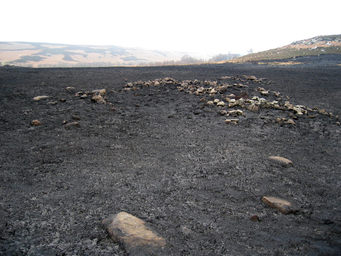
Four 'burnt mounds', now covered by vegetation, lie on the banks of a small stream just below the cup-marked outcrop. Two of the mounds were excavated by Peter Topping in 1992-93. (Northern Archaeol, 15-16, 1998, 3–25). Both mounds contained hearths, troughs and other stone-built fixtures. Radiocarbon dating demonstrated that the sites had been in use in the Bronze Age over 3000 years ago. Pollen and other biological evidence showed a landscape changing from scrub woodland to moorland at this time along with some evidence of possible local cereal cultivation during the earlier phases of the mounds.
|
|