|
        
|
    
|
      
|
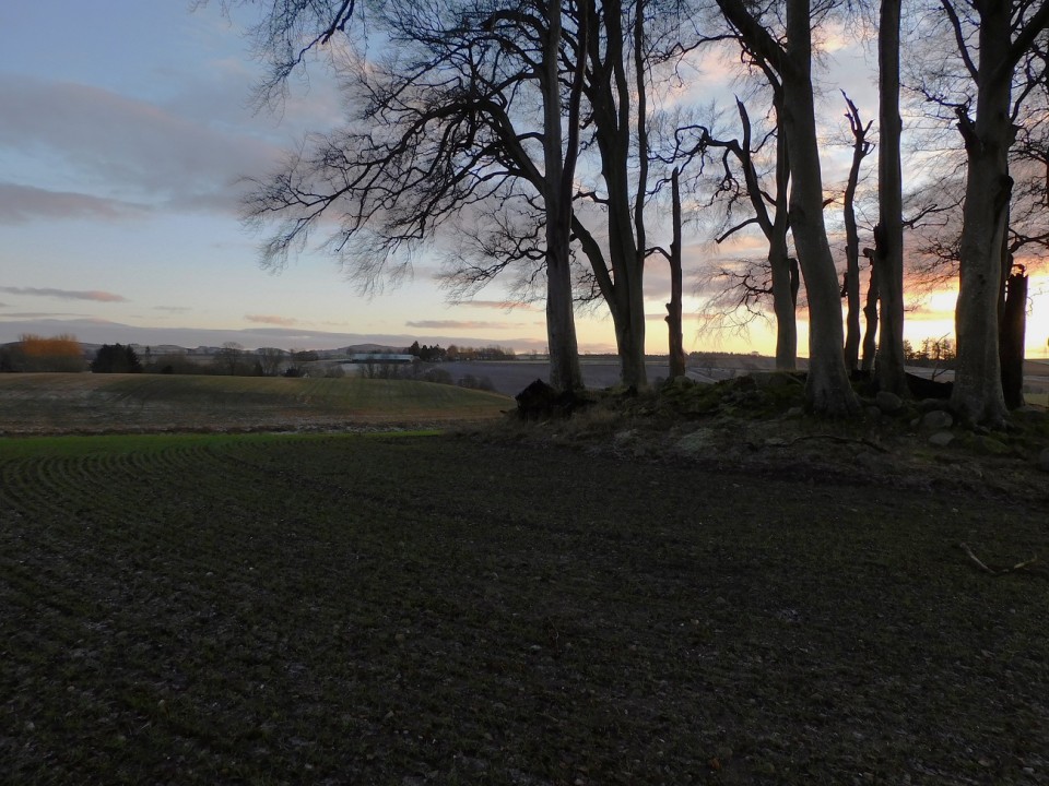
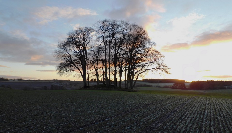
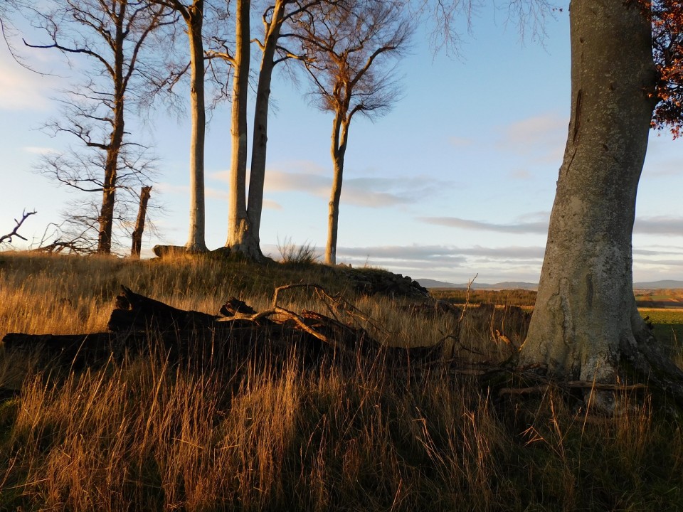
A little way east of Inverness are three circular chambered cairns of an unusual type, each surrounded by a stone kerb and a ring of standing stones. While the passages of most chambered tombs in Scotland face approximately east or south-east, those at Clava face south-west towards the mid-winter sunset, an alignment which may have had symbolic significance.
Although archaeological evidence dates them back to the third millennium BCE, tradition connects the tombs with a later period. They have been said to mark the burial place of the family of the sixth-century Pictish king Brude, and Otta Swire suggests in The Highlands And Their Legends (1963) that this theory may have been inspired by the digging up of a gold rod during drainage operations near the site. She does not mention when this discovery was made, but in any case the area had pre-existing associations with King Brude, whose castle is said to have been at nearby Craig Phadrig. Brude himself was one of St. Columbas' most important converts to Christianity, and was reburied on Iona, sacred to the saint.
The Lore Of Scotland - a Guide To Scottish Legends
Westwood & Kingshill
|
A short way south-west of Dundreggan, before the A997 bends and crosses the River Moriston, there is a cairn said to have been built by visiting pilgrims who added to it stone by stone. They came to honour the memory of the itinerant Presbyterian preacher Findlay Munro, who was preaching here in 1827. His text was Amos 4:12, which catalogues the punishments visited on Israel for oppression and idolatry and threatens worse to come: 'Therefore thus will I do unto thee, O Israel: and because I will do this prepare to meet they God, O Israel.' In Munro's sermon, 'Israel' could easily be understood to stand for the Episcopalians in Scotland, and behind them the English government.
Some local boys, possibly Catholics, challenged his words and called him a liar, to which he answered, 'As proof that I am telling the truth, my footprints will forever bear witness on this very ground on which I stand on.' Just as he said, on the spot where he had stood his footprints were left indelibly in the ground. It became custom for visitors to stand in the marks, and people claimed that the hair stood up on the back of your neck when you did so. Janet Ford, in Footprints in Stone (2004), reports that the prints were vandalised in the 1990s, but her latest information was that they were becoming visible again.
The Lore Of Scotland - A Guide To Scottish Legends
Westwood & Kingshill
|
        
|

|
Some ancient forts, mostly from the Iron Age, had ramparts constructed from a double wall of stone with layers of wood and rubble sandwiched between. If the timber were set on fire as it might during an enemy attack, certain types of stone melted and fused other stones together. The great lumps of of heated, cooled, and solidified rock have patches that glitter like glass, giving rise to the term 'vitrified' forts.
Folklorists used to speculate that these were the origin of the glass castles of tradition. David MacRitchie, in 1891, wrote:
when one hears some wild story of a dreaded giant or ogre living in a castle surrounded with glass',
one knows, that such a castle could not have existed, but that the real glass castles may have been vitrified forts. He cites the example of a famous glass castle said to stand on Tor Inis or Tory Island off the north coast of Ireland, but as castles of glass often appear in fairy tales in places where no vitrified forts exist, this seems no longer a workable proposition, however tempting such a rationalisation may appear.
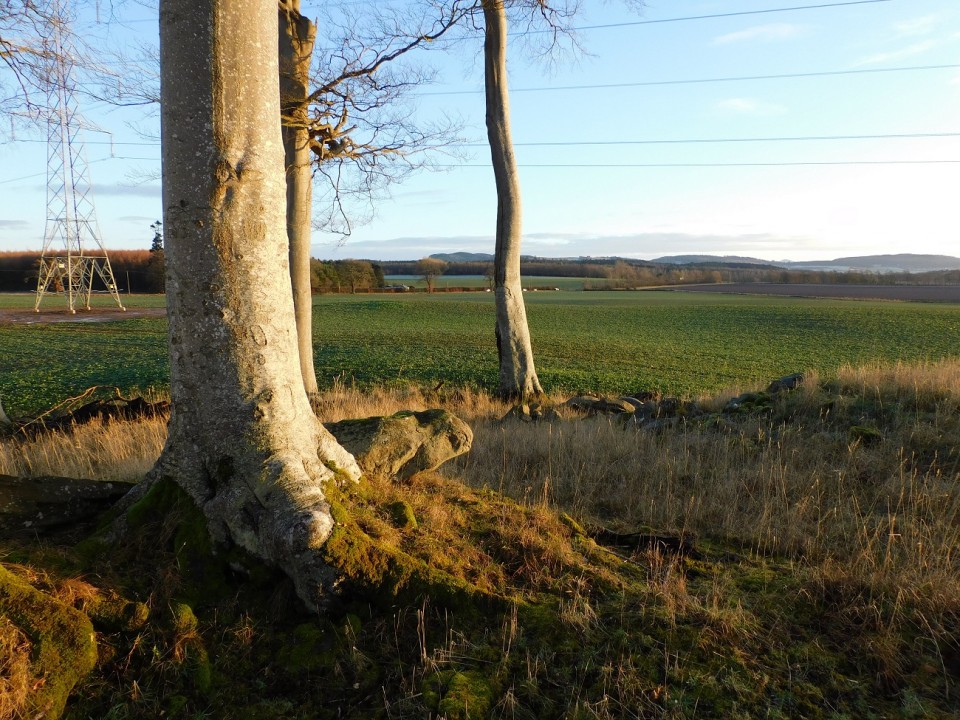
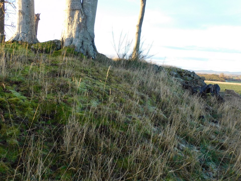
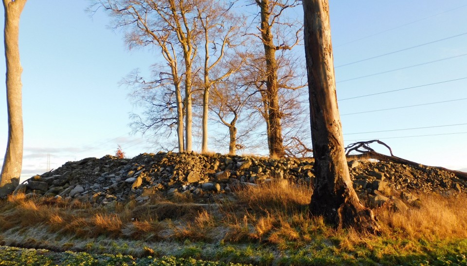
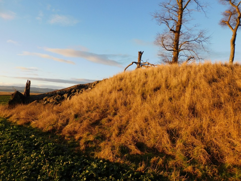
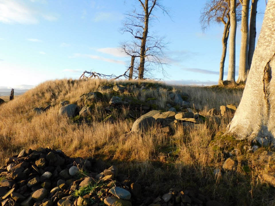
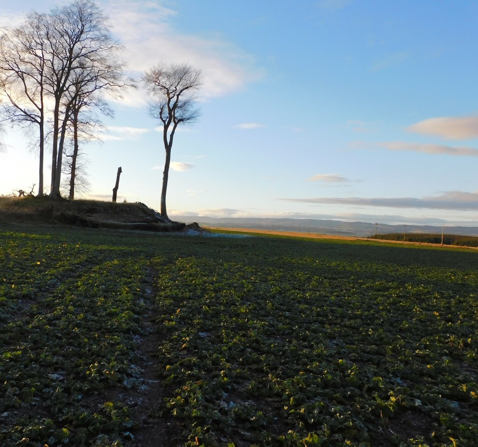
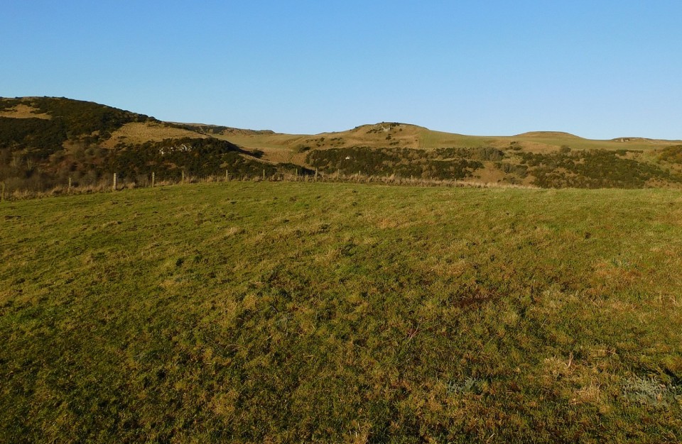
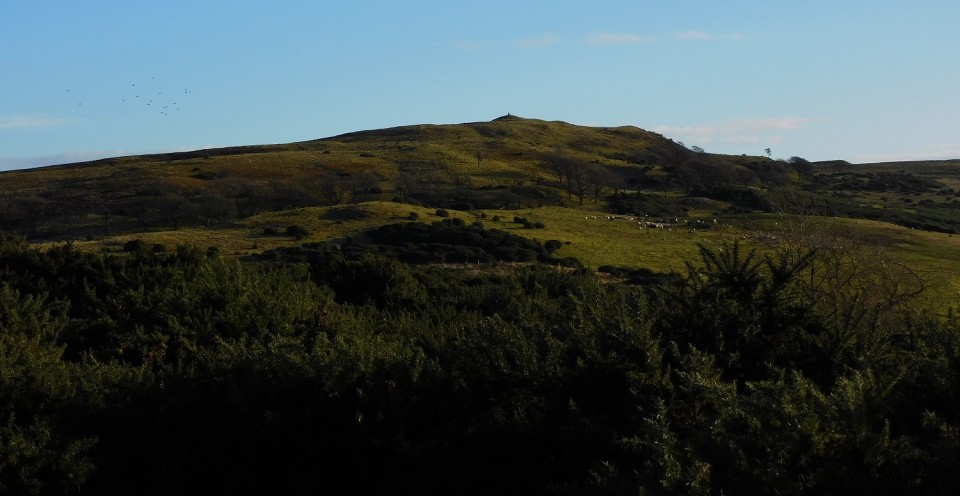
Craig Phadrig, a wooded hill west of Inverness, is crowned by a vitrified fort. Radio-carbon dating suggests that its ramparts were originally built in the fifth or fourth century BCE, although they may have been strengthened around 500-600CE. It has been proposed that Bridei or Brude, King Of Picts (c.555-84), lived here, as it is recorded that he had a royal palace near the River Ness. There is a King Brude Road on the way here from Inverness.
Brude was visited by St. Columba, who wanted permission to continue his work of Christian conversion, but the saint and his companions were refused entry. Then says Columba's biographer Adomnan (627-704), Columba made the sign of the cross on the great doors, knocked and laid his hands on them and immediately the bolts shot back of their own accord. Brude is supposed to have been converted by this miracle, and he and his retinue in the fort were all baptised.
A local tradition said that this baptism took place at the foot of a fir tree growing at the centre of the fort. In 1963, Otta Swire noted:
This tree was still growing, one of the finest and largest Scotch firs that I ever saw, when Craig Phadrig was sold to the Forestry Commission in the 1920's and much strong feeling was aroused by their decision to fell it as part of a clearance scheme.
The Lore Of Scotland - A Guide To Scottish Legends
Westwood and Kingshill
|
Follow the same directions as Mark, and stop at the same place. The way over to the cairn was kinder to me, there was hardly any seaweed and in any case I'd had my troubles for the earlier at Ardnamonie.
Unlike the previous two sites I could get to this one and there is quite a lot to see. At 20m wide, damage by both humans and erosion has led to stones falling all around the site 13 in total, some of which might be capstones. Thanks to robbing the chamber can be seen and thanks to the robbing its difficult to tell if there are three areas / compartments. Two can be certainly seen, of the third only two stones remain standing.
One of the nicest 'what ifs' I've seen.
A great way to finish the trip.
Visited 13/08/2023
|
Slightly to the east Ardnamonie is the much more recognisable broch Dun Buidhe. I walked along the fence line until I reached the site, the ground looked drier so I jumped the fence, walked 8 or 9 paces to end up almost waist deep in the bog.
Sadly it appears that, on drier days, it looks like the site is used as a rubbish tip. Also later buildings have been attached to site, as at Ardnamonie. Even from where I stood or sank, you could see the circular shape of a broch despite being covered vegetation.
Luckily no washer-woman was washing or drying any shrouds on my visit, so all would be fine.
Worth a (re) visit when much, much drier conditions.
Visited 11/08/2023.
|
Superb aerial photography, and some hardy soul managed to get onto the site.
|
From Loch an Daill we headed south on the A865 and took the first road heading west.
Similar to Loch an Daill Mary provided a parking space, or rather her shrine did, at the end of the road, or just before it headed south. From the shine I jumped the gate and headed south east, the site is easily spotted.
It has been a trip in which water levels have featured quite a bit, and this is a massive example of dropping water levels. What used to be loch has vanished and changed into a large marsh, perhaps you can get in from the south but looking at aerial photos on Canmore I'd suggest not trying.
However, I got as close as I could, before deciding it was unsafe.
What remains is a bit of a shambles, it appears to have been used for several functions, the outlines of buildings can be seen. It probably has been a cairn or a dun or a broch. Stones could easily have been recycled but as Canmore suggests a proper excavation is needed.
A bit of a what-if.
Visited 11/08/2023.
|
T.M. Murchison was minister of Glenelg in the 1930s, and his mother's people had been shepherds in the area for many generations. His parish history was compiled partly from oral tradition gleaned from older relatives and older parishioners. 'The most famous antiquities in Glenelg' he records, 'are the two brochs or "Pictish towers" in Glenbeg.' At one time apparently there at least two more, but of these only 'a heap of jumbled boulders and stones' remained by this time. Dun Telve and Dun Troddan, however, still stand. It is said when the brochs were being built, stones were handed from the quarry along a chain of men.
A broch or 'brugh' is an archaeological term for the late prehistoric round towers found chiefly in the Orkney and Shetland islands and the Western Isles and on the adjacent Scottish mainland. They are round stone-built towers, and are often popularly supposed to have been built by the Picts or Pechts. Here, however, the brochs are associated with Fionn mac Cumhaill or Fingal and his followers the Fianna, said to have lived in these brochs and resorted to Skye for their hunting. The women of the band, says Murchison, never took food in the presence of their menfolk, but nevertheless remained healthy and beautiful, and the men wondered how the women managed to live on so little nourishment. One day, therefore, while the other men went to Skye, a warrior named Gairidh (pronounced Gary) pretended to be ill and was left lying on his bed, intending to watch the women.
He fell asleep, however, and the women promptly took strong wooden pegs and fastened Gairidh's seven locks to the bottom of the bed, to keep him out of the way, and they proceed to feast on the finest food that glen or river could produce. Gairidh suddenly awoke, was irritated to find he was fastened to the bed, leapt to his feet with a mighty effort, and in doing so left every lock of his hair and the skin of his skull on the bed. mad with pain, Gairidh rushed out, gathered brushwood which he placed around the locked door, and set fire to the dwelling with the women inside, so that none escaped.
Over in Skye, Fionn and the hunters saw the smoke rising and knew that some terrible disaster taken place. They hurried back, vaulting on their spears over the narrow channel to the mainland. One of them named Reithe did not leap far enough and was drowned, and the name of the place from which he jumped, Kylerhea, is said to be derived from
Caol Reithe, 'the Narrows of Reithe'.
Fionn and his men found their women dead and Gairidh missing, but at last he was discovered skulking in a cave and was punished.
An almost identical tradition was reported of Knockfarrel by Hugh Miller in 1835, and used by him to account for the name of Glen Garry, said to be where the murderer was torn to pieces. The tale is a better fir for Glenelg, much nearer to Glen Garry, and Murchison adds further local details: at Kylerhea, he says, you can see the marks made by the warriors' feet as they jumped the water, and at Bernera nearby is a site called Iomair nam Fear More ('the Ridge of the Big Men'), pointed out as the burial place of the 'Fingalians' (the Fianna or Fenians).
It is said that once upon a time a bold man began ploughing up the place, in defiance of local warnings. He turned up a human skull, which was so big that it easily fitted over the biggest man present(alleged to be the Rev. Colin MacIver, minister of Glenelg from 1782 to 1829). Just at that point, however, a terrible storm of thunder and lightning arose, and the ploughing speedily ceased and the skull of 'Gairidh' or some other Fingalian was promptly buried again.
The Fianna were commonly said to be of giant size, so the finding of an unusually large skull may have helped to associate them with the site.
The Lore Of Scotland - A Guide To Scottish Legends
Westwood and Kingshill
|
Not much to see here, look for the promontory on the north east side of the shrine beside the telegraph poles.
There is a wall amongst the tall vegetation which I found very easily by tripping over it. Further towards the shore there is the remains of another small wall before you are in the fort proper.
Worth looking at it, if looking for the dun.
Visited 11/08/2023.
|
If there was a causeway here, reportedly seen in 1915 but well submerged - by 2003 it had vanished. By the time of my arrival with reports of water levels being quite a bit lower it would be safe to say it might never be found.
The actual dun is still there clearly visible by looking east from the shrine at Ardmore, if heading north from Daliburgh (South Uist) its just before the causeway to Benbecula, if heading south from Benbecula park at the first shrine.
Not much remains on the 'high crannog' except the usual fallen stones and what appears to some kind of standing stone.
Beinn Tairbeirt and Beinn A' Phortair provide dramatic backdrops to the south east.
Visited 11/08/2023.
|
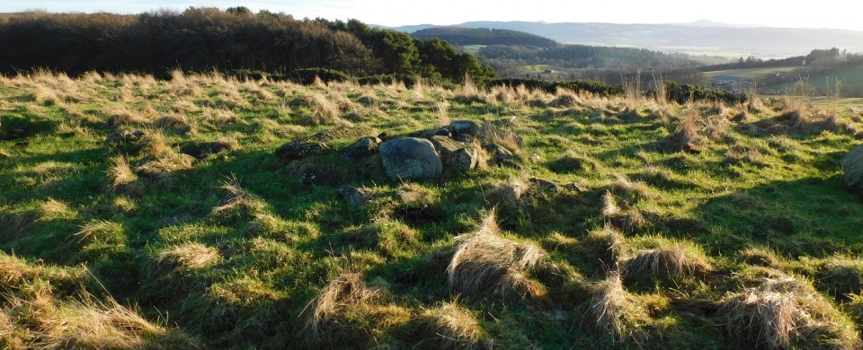
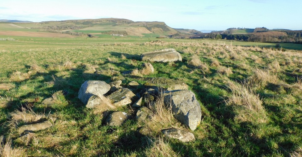
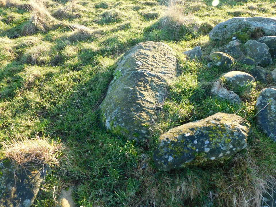
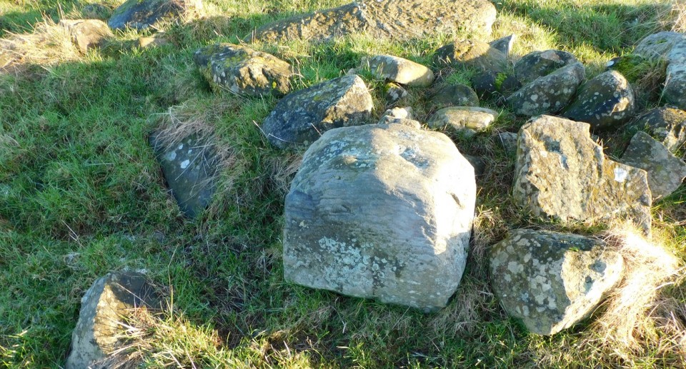
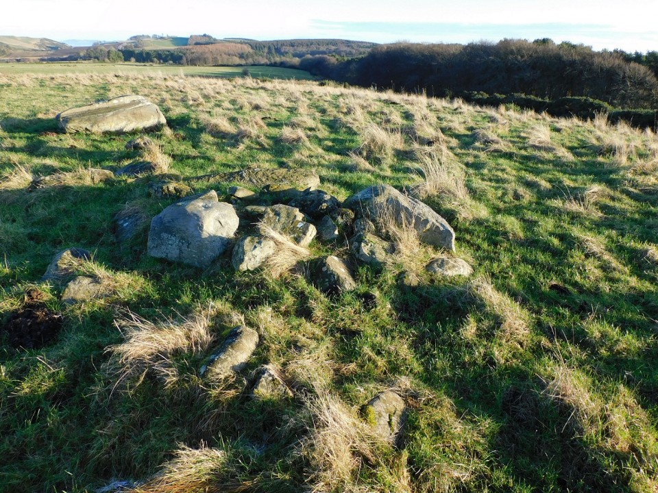
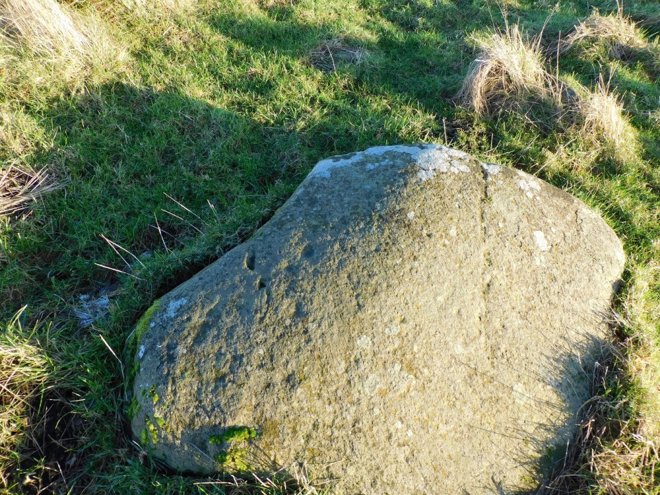
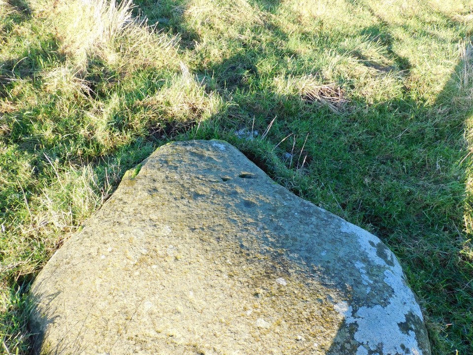
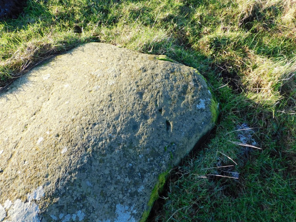
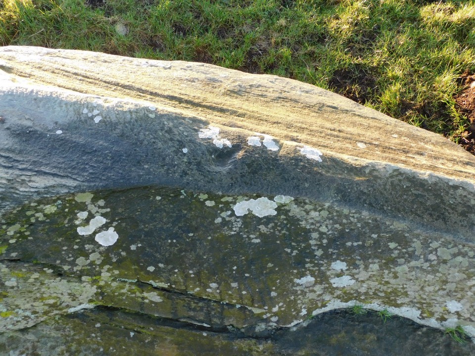
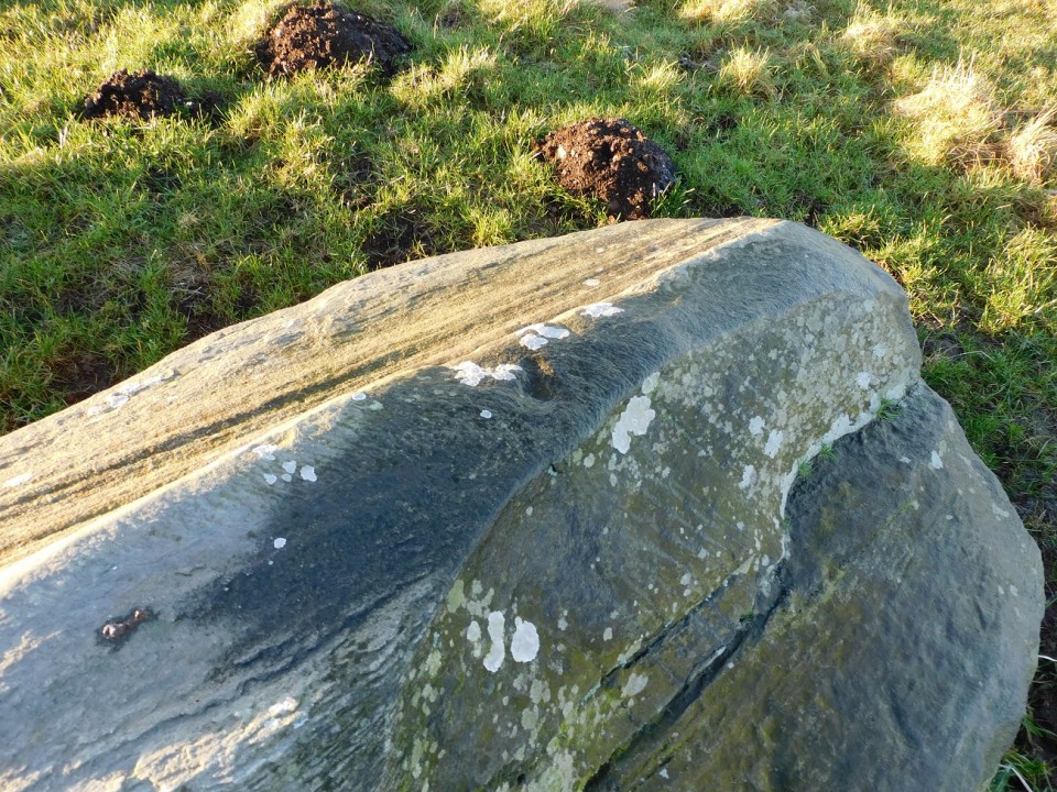
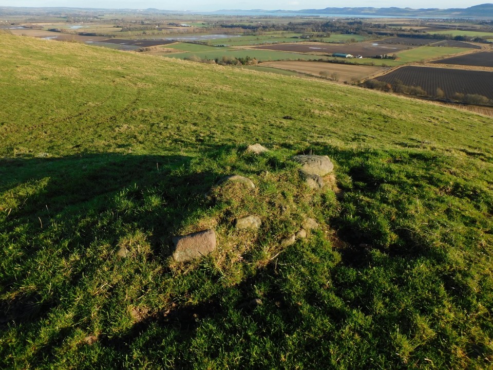
The cairn at Tigh Cloiche has seen a lot of damage done to it throughout the centuries. It still stands, grass covered, at 12m wide by 1m high. Stones can be seen in the middle, first thoughts, to me, it might be remains of a cist but more likely a small shelter of some kind. The site is surrounded in fairly marshy ground. It seems Canmore can't make their minds up also, they didn't declare if it was Neolithic or Bronze Age, perhaps it might even be an Iron Age Wheelhouse. I'd go for a robbed Bronze Age Round Cairn, an excavation would be interesting.
To the north of the cairn there is a minor road heading east, there is plenty pull over space a short distance from the A865. Not wishing to walk down the busy road I headed cross country, straight south via some marsh and the occasional dry bit.
A but of a what if, but worth a visit to speculate.
Visited 11/08/2023.
|
It is not surprising that the Grenish Stone Circle should be supernaturally protected, if it was truly the crowning place of the Pictish kings. This tradition was reported by Otta Swire in 1963: 'The last king to be crowned there was King Brude, so the old gardener we had at Kingussie told me.' He had been told this as a boy by his grannie who came from Aviemore, and she had heard it from her grannie, a noted wise woman or witch. Acording to the gardener's grannie, when a Pictish king died, all who hoped to succeed him gathered at the circle, where the Druids invoked the spirits who told them which claimant to crown and other things besides. When the spirit was summoned at the death of the forty-eighth king, he told them to cron King Brude but he would be the last they crowned. Thinking this meant the downfall of the Pictish kingdom, they asked more questions but only got an enigmatic answer:
Living die, Dying live
When the king was crowned it was customary to raise three spirits, and for the King to ask each a question, the first of which must be:
What of my reign?
When Brude asked this question, he couldn't understand the reply: the spirit was that of an Irish champion who spoke only Gaelic, while Brude only spoke the Pictish language. Fortunately a bilingual Druid was on hand to translate, telling Brude that one greater than he would come out of the sea, rule in his kingdom above him, and make him great. The prophecy referred to the coming of St Columba and his conversion of King Brude to Christianity.
As with a number of Otta Swire's stories, it is uncertain if this is a popular tradition or a romantic fiction. In some respects it sounds suspiciously like the revelation in Macbeth of Banquo's royal descendants, although it is of course entirely possible that Shakespeare based his scene on a report of ancient Scottish custom.
|

Stones from religious sites whether ancient or modern should not be removed. Such is the prevalent , recorded at Fyvie Castle (near Turriff) and the Hill O' many Stanes (Northern Highlands) among other places. C. G. Nash, in 1906, recorded that a stone taken from the circle at Grenish was once taken to be used as a lintel over the doorway of a byre, but when it was in place the cattle were afraid of entering. Consequently it was taken back to the circle and an ordinary slab used, which the cattle were happy to pass.
The Lore Of Scotland - A Guide To Scottish Legends
Westwood & Kingshill
|
We returned to West Loch Ollay from the standing stone at Crois Chnoca Breaca and took the car to Dun Altabrug.
Take the road that swings north, the road we came, and at the junction head west. Keep going, past a minor road, and as the road swings north east take the first minor road south, stopping at the road's end. We were given permission to park by the occupant at Peninerine.
Head south east up and over a wee hill and the dun will be clearly seen along with the causeway, the causeway being just over 30m in length.
Decent walls still exist on the 'high crannog' / dun with the entrance on the east. Most of the site is overgrown. The circular wall is over 1.2m, the island is slightly oval and measures 9.5m by 8m.
Once again it was explained that water levels are low here also, as they are over North and South Uist and Benbecula. The photos proved that when compared with photos taken from 5 years ago, vegetation had grown, the causeway is much more visible and the land from the farmhouse a lot les boggy.
Superb site.
Visited 10/08/2023.
|
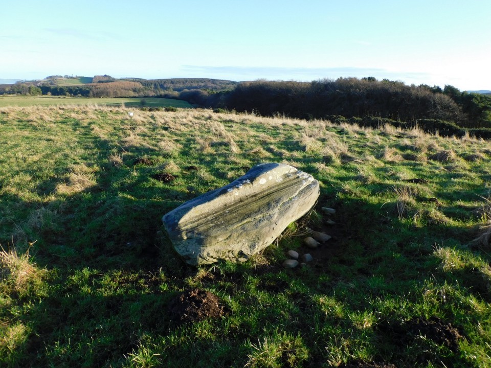
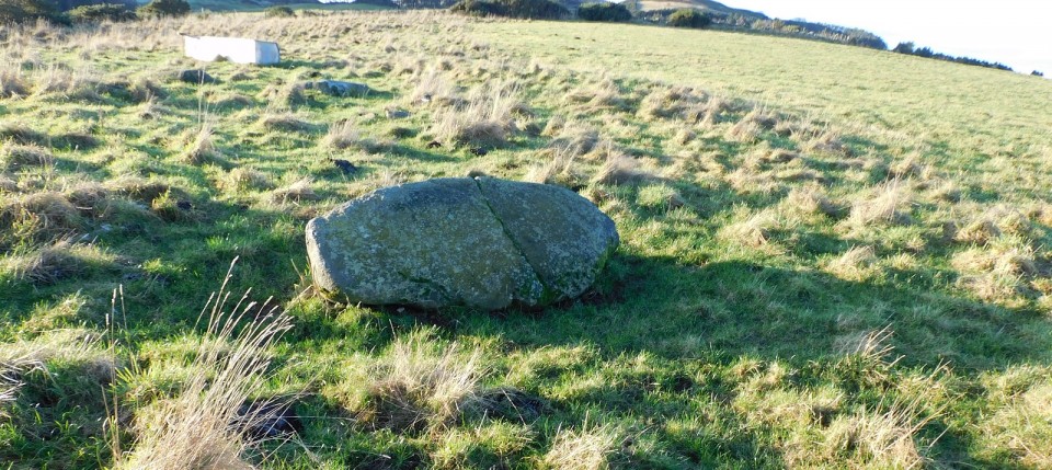
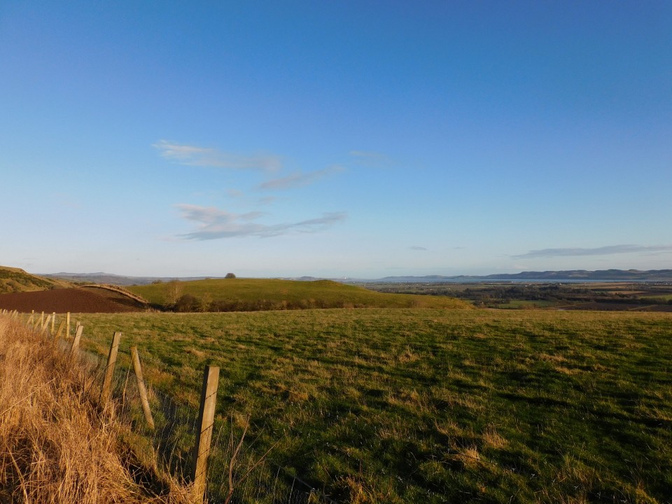
A weird and wonderful stone which could easily be mistaken as a ruined Celtic Cross. Parking is easy as there is a car park at the Ardmichael Cemetery but we headed towards the coast, from West Loch Ollay, to follow the Hebridean Way which gave us a easy walk heading north, and more importantly it led straight to the site.
It stands on a wee mound at just over 2m tall, almost giving a middle finger to time and, perhaps, modernisation. Hopefully a gentle straighten up will save this stone falling as it sits at an precarious angle.
Fantastic site / sight with fantastic scenery.
Visited 10/08/2023.
|
The following I was up bright breezy and picked up my 'water expert' friend for the first of two site visits.
North of the road to An Carra, on the A865, take the first road heading west, the the next road heading south before stopping at the first farm track that leads north.
Jump the gate then head straight north. When you reach the shore the 'high crannog' will be in front of you. Not much is left of any buildings that existed, but the tumble down proves that once upon a time something was there. Something that still is exists is a line of stones heading west, a possible mini naust.
Canmore also have a photograph that show this line of stones clearly, on my photographs, grass and weeds are growing and much more of the site can be seen.
It was explained to me that West Loch Ollay was gradually getting lower, vegetation was growing on parts of the loch. This site just highlighted it more accurately with more rocks and bedrock beginning to appear.
Not a lot to look at but interesting given someone had a knowledge of climate change.
Visited 10/08/2023.
|
Still doing the music, following that team and getting lost in the hills! (Some Simple Minds, Glasvegas, Athlete, George Harrison, Empire Of The Sun, Riverside, Porcupine Tree, Nazareth, The Avalanches, Public Service Broadcasting on the headphones, good boots and sticks, away I go!)
Turriff, Aberdeenshire
https://www.thedeleriumtrees.com/
|
|