Showing 1-50 of 6,155 posts. Most recent first | Next 50       
|
 
|
   
|
  
|
    
|
   
|
  
|
  
|

|

|
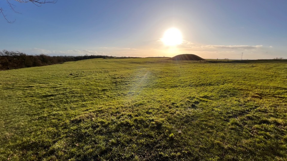
Bellaghy bog body: Human remains are 2,000 years old
Ancient human remains which date back more than 2,000 years have been recovered by the Police Service of Northern Ireland (PSNI).
The discovery was made after archaeologists were alerted to human bones on Bellaghy peatland in County Londonderry in October 2023.
It is thought the remains could be those of a teenage boy.
The PSNI said it is a "unique archaeological discovery for Northern Ireland".
It explained that the remains had been carbon dated to "as old as 2,000-2,500 years".
Det Insp Nikki Deehan said excavations "first uncovered a tibia and fibula and a humerus, ulna, and radius bone relating to the lower left leg and right arm respectively".
"Further investigation revealed more bones belonging to the same individual," she added.
More: https://www.bbc.com/news/uk-northern-ireland-68092307
|

|
Archaeologists Find 16,800-Year-Old Cave Dwelling That Is 'One of the Best'
Archaeologists have uncovered evidence of a cave dwelling that was constructed around 16,800 years ago by prehistoric humans.
The dwelling was found in the La Garma cave complex in the autonomous community of Cantabria, northern Spain, the local government announced in a statement.
The new discovery is "one of the best preserved Paleolithic dwellings" in the world, according to the Government of Cantabria. The Paleolithic, also referred to as the Old Stone Age, is a period in human prehistory that extends from the earliest use of stone tools more than 3 million years ago to around 12,000 years ago.
Continues: https://www.newsweek.com/archaeologists-find-16800-year-old-cave-dwelling-one-best-1850021
|
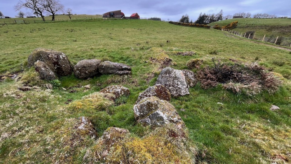
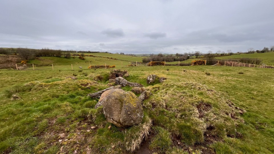
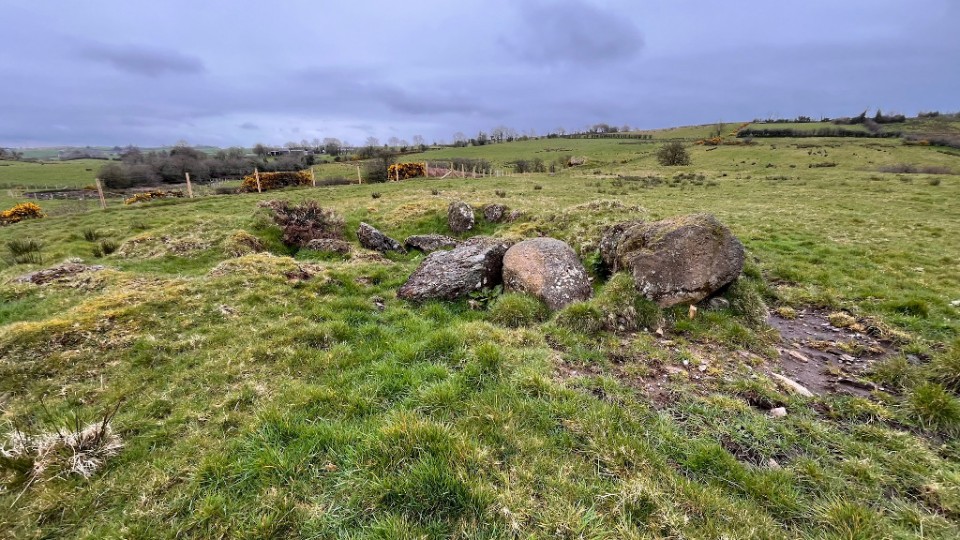
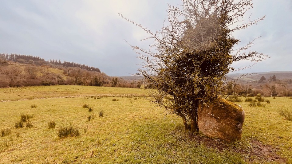
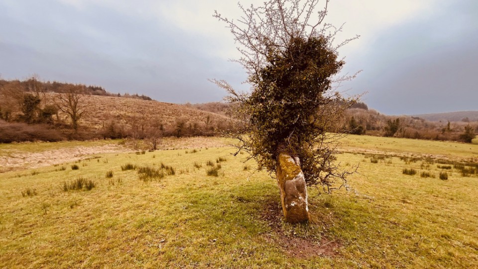
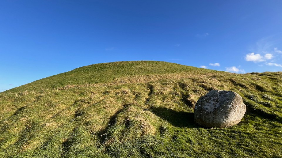
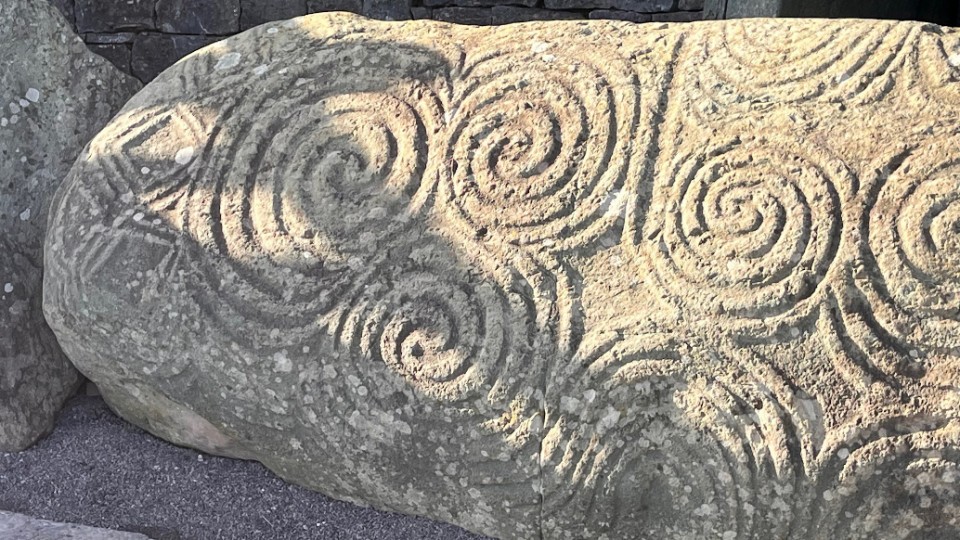
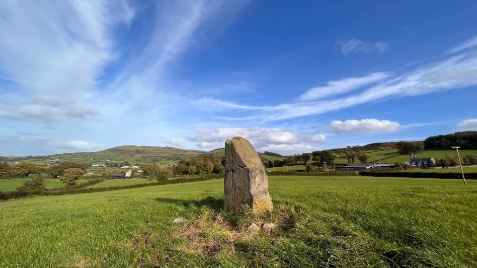
Heartbreaking' damage done to Neolithic passage tomb
Damage done to an ancient Neolithic passage tomb in Co Sligo has been strongly condemned.
Photographer Ken Williams visited the site over the weekend and took photographs of words and shapes scratched into stones at the tomb which is over 5,000 years old.
More: https://www.rte.ie/news/regional/2023/1016/1411157-carrowkeel-graffiti/
|
| |