|
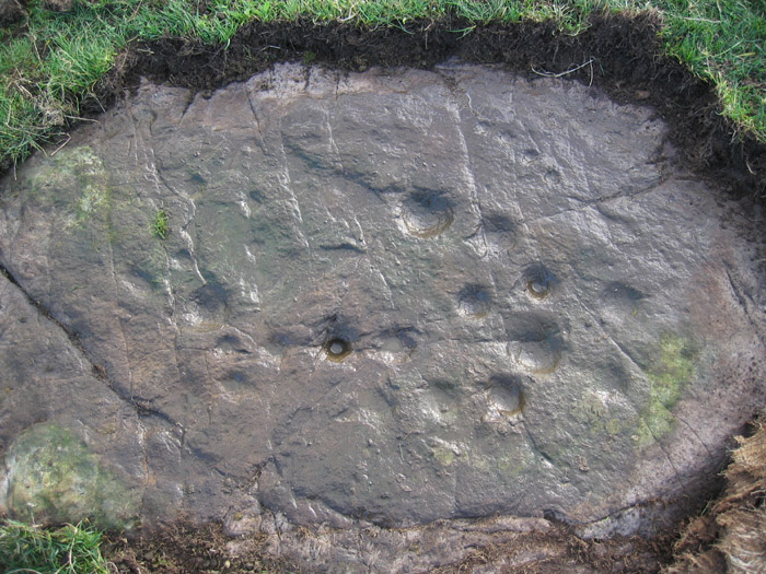
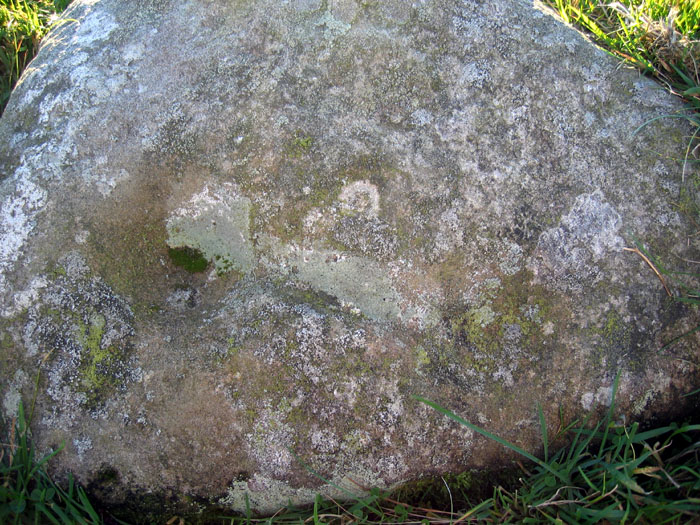
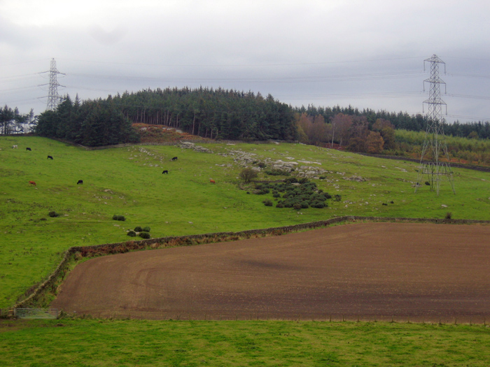
The cup marked stone (Greenlee Lough a) is 16m S of the southern entrance to a Roman Camp midway between the current field walls where the land slopes up to the N to crags overlooking Greenlee Lough. This area does not have free access to the public (which ends at the E side just beyond the Ridley Common stone circle) and permission must be sought at West Hotbank.
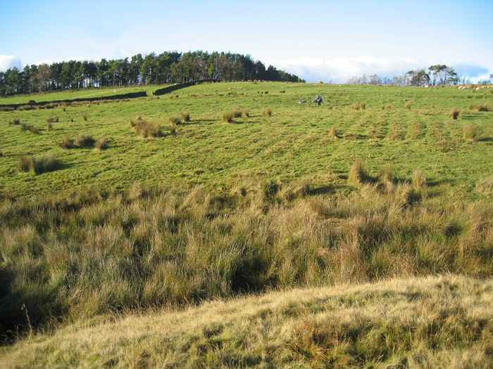
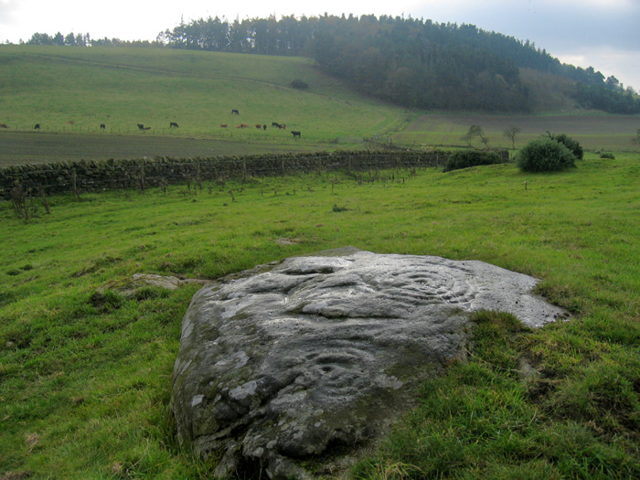
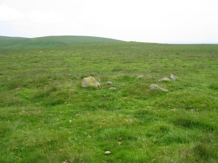
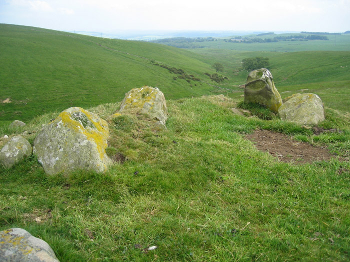
An area of cord rig (which was shown by excavation to predate the camp) is visible as parallel bands of vegetation (mainly rushes) from the S side of the stream in an area just below the cup-marked rock. This makes up part of the field system of a farmstead which is located in a field 200m to the west, on a protected site just above a steep gorge where the Jenkins Burn flows N to join Greenlee Lough. Although it has been described as Romano-British, it is circular in shape, and may be earlier. The Ridley Common stone circle is approximately 400m NE of the cup-marked rock and has been interpreted as a Bronze Age cairn as many of its 15 stones are small.
Flash Earth shows all these features well, including a hollow-way extending from the E side of the farmstead and another defended settlement, attributed to the Iron Age, situated on the top of the crags, immediately N of the stone circle. Shielings were constructed in its enclosure and in the Roman Camp in the Medieval period showing that this area has had a long history of settlement.
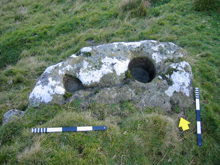
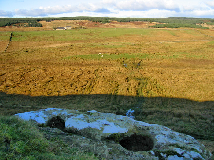
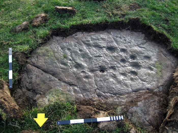
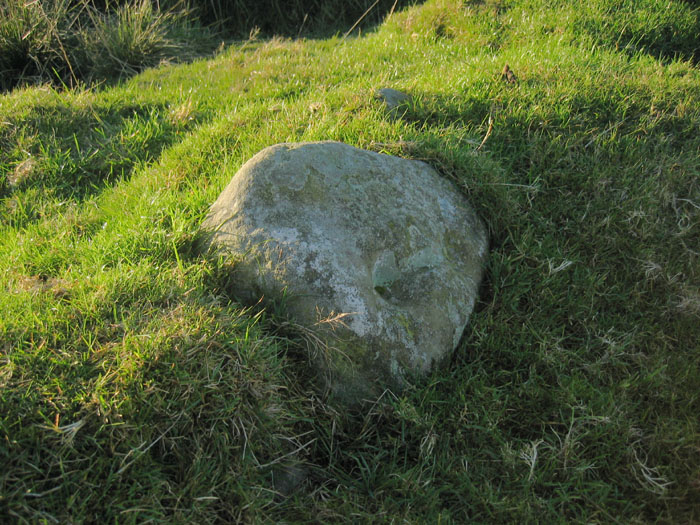
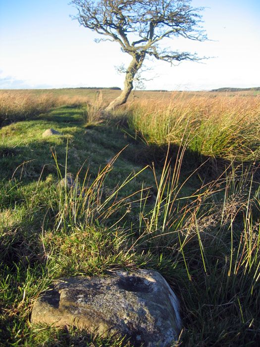
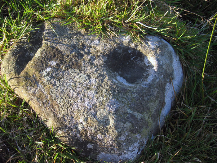
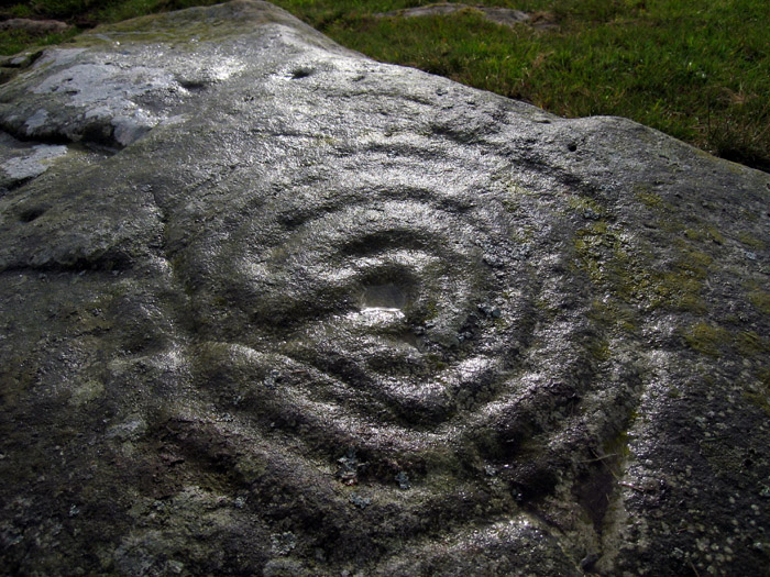
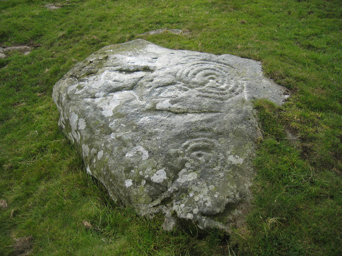
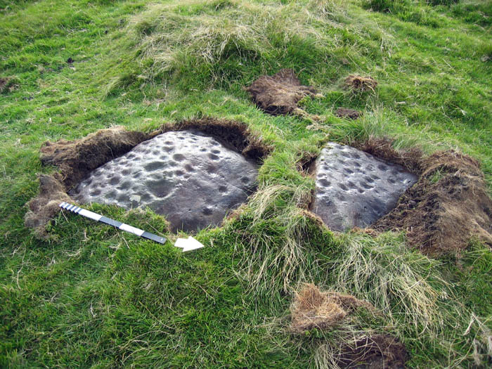
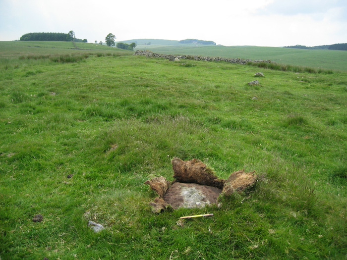
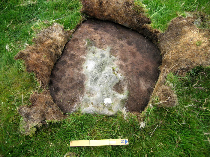
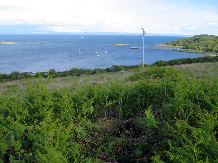
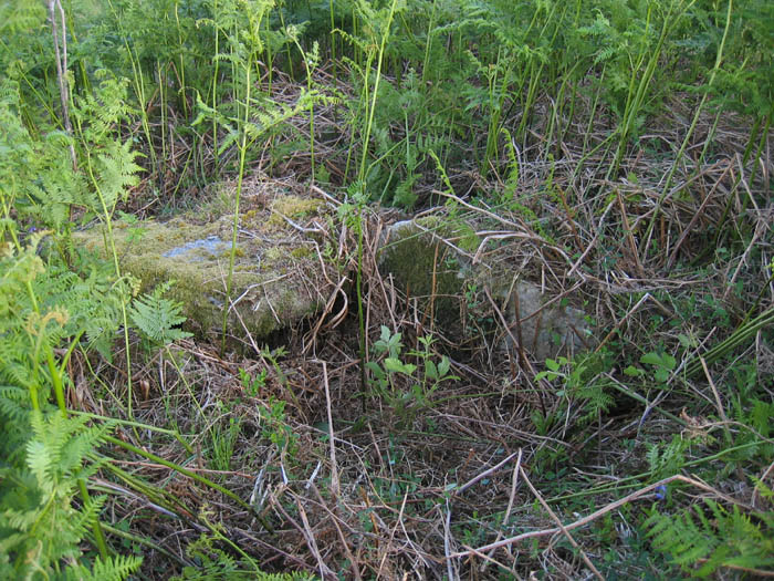
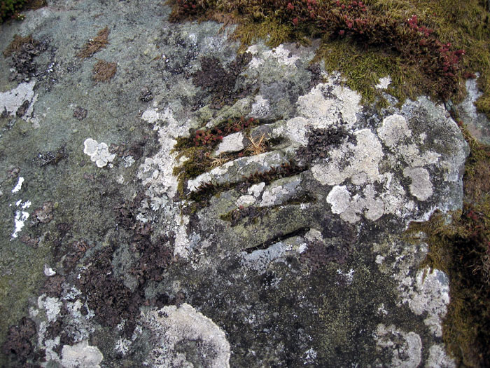
Greenlee Lough panel b is located at NY 78060 69988, 6m NW of corner in the boundary wall of the group of ruined shielings at Cragend just W of the Pennine Way footpath where it crosses the track, 400m NE of the Ridley Common stone circle. The outcrop is at the E end of the crag line which is the location of the Iron Age settlement and is at the top of a steep slope overlooking marshy ground lying to the E of Greenlee Lough. There are two basins (clearly man-made) connected by a shallow, curved groove. A 10p coin found (and left) in the bottom of the larger water-filled basin perhaps indicates a local tradition. The basins may have had a prehistoric origin as suggested by Beckensall but this can't be certain. The larger of the two is little eroded and maybe of fairly recent origin, possibly connected with the shielings which are very close. Its likely purpose will probably remain a mystery.
|
   
|
 
|

     
|
    
|
  
|
        
|
|
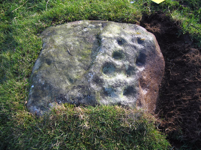
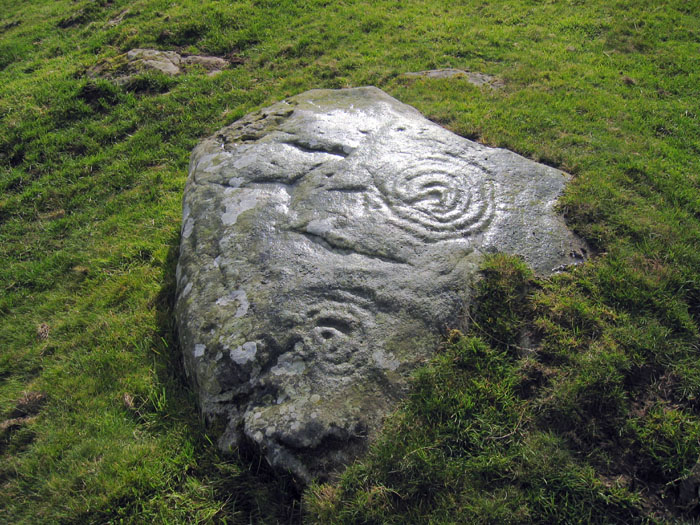
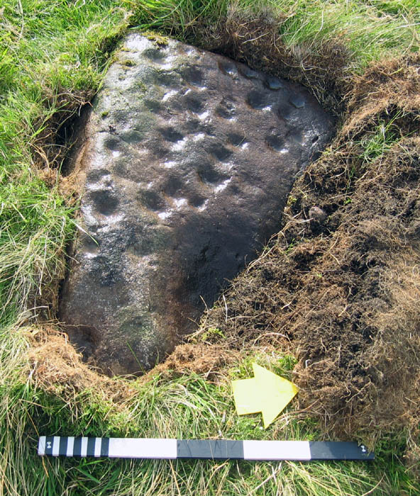
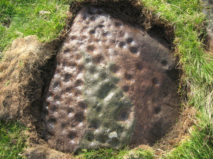
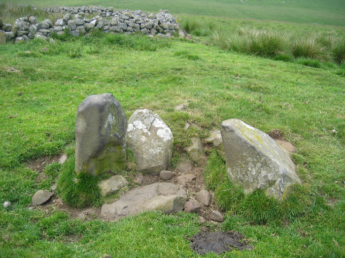
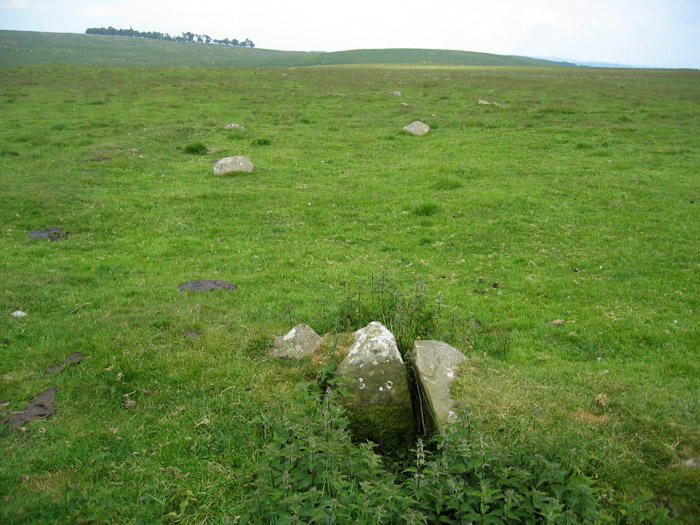
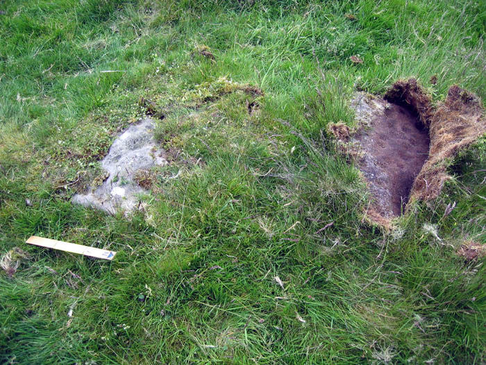
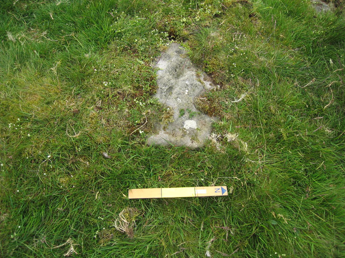
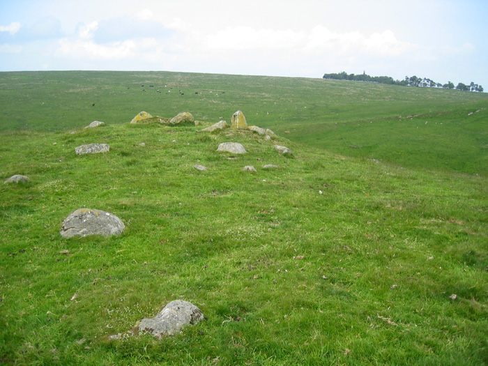
Visited this site just south of Hadrian's Wall at Shield on the Wall to look for a cup-marked boulder given in the Beckensall Archive as 'Round Cairns west of Middle House'. According to the Archive, an English Heritage Field Warden had found a boulder with 16 cup-marks as part of the round cairns but only an approximate grid reference is given and no photographs. Although the moor is access land, getting to the site is problematical due to difficult car parking on the Military Road and a walk of about 1 mile over rough tussocky and often boggy terrain. Three round cairns dated to the Bronze Age stand on a slight ridge just south of Settlingstones Burn. Keys to the Past describes them as being between 8 and 10m in diameter and 1m high with one disturbed in the centre due to excavation, but I found the archaeology difficult to interpret on the ground. After a search of the numerous boulders, I eventually found a cup-marked stone, mostly turf-covered, about 40m east of the sheepfold fairly close to a stone setting which might indicate the original centre of one of the cairns. A second cup-marked rock can be found about 1m north of the first rock.
|
 
|
| |