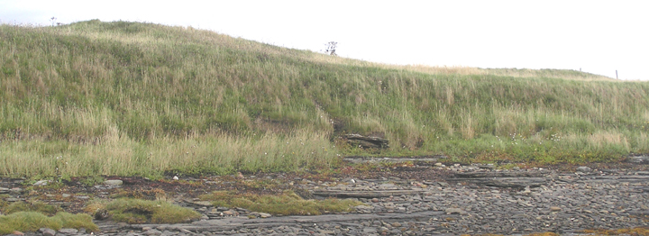
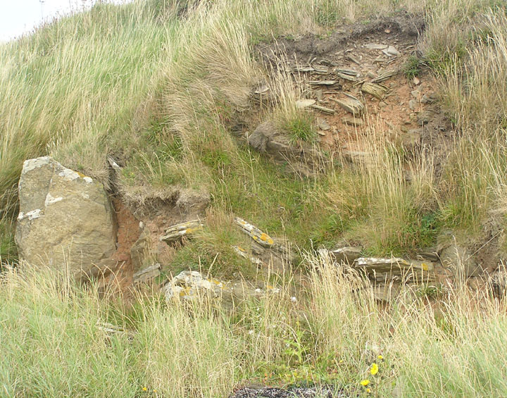
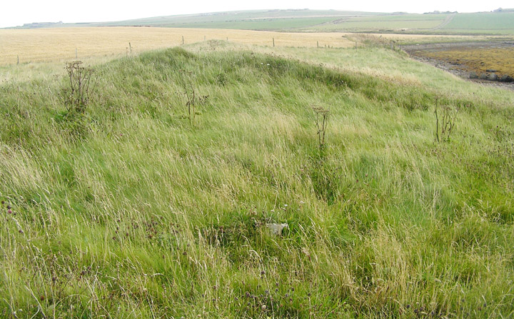
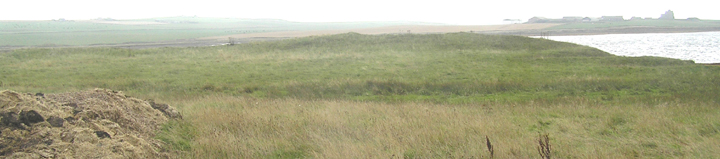
At the end of the channel instead of crossing over to Eves Howe turned right and onto the beach. Owing to erosion there isn't enough cliff outside the fields to walk on at all, the fences and their 'standing stones' ready to topple over. A slab fence with barbed wire goes down to the low tide mark and I managed to clamber over a gap and continue on to where the headland is sufficient to climb onto. The mound with its various peaks runs from the field boundary to the very point, completely covered in grass. So I don't know whether the depressions at the seaward end are from excavation or robbing foundations. On the one hand at the cliiftop the smaller of the two looks more than 2m less, on the other I did see one white earth fast stone in the centre of the larger. I suppose whoever removed the structures could have dug unrecorded into archaeology below. And of course the Long Cairn on the Head of Work does have a later oval cairn inserted in one end which could parallel the sub-circular chamber excavated here. The two (post-mediaeval) boat nausts now look more alongside than into the mound.
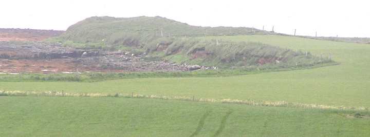
In the nearer I could see the walls lining the long sides. The report describes it as walled on three sides with slabs along the bottom. It provided the only dating evidence for the mound, a single Grooved Ware sherd, and the excavator thought the noust built from mound material. Seems strange the sherd came too. So could the material be in situ, part or all of summat previously here? Certainly the fact that stones were found protruding about these two could relate to barrows being built over the sites of previous activity - pity Heritage Scotland hasn't AFAIK communicated the results of this headland's geophysics to RCAHMS, only that they exist.
Having crossed over into Deerness take the B9051 (Kirbust road) up to the Yarpha-Keigar crossroads. Turn left onto the minor road heading to Mirkady, and take this to the point at which the farm road begins. On the left is a 'drain', and an old track goes along the far bank to the shore. Instead of going left to Eves Howe turn right and the next headland is Hurnip's Point. If walking Eves Howe the mound will already have been obvious, and the cairn is not many yards distant from the drain end really. Unfortunately I misread the map scale when visiting the broch and so failed to take the opportunity presented to me.
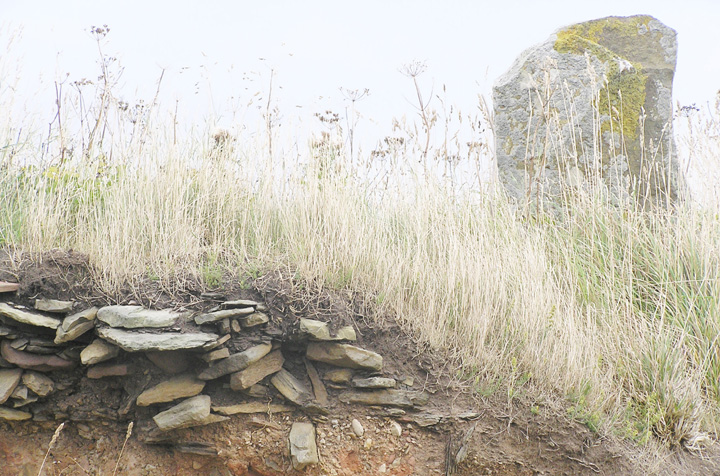
In 1991 an archaeologist surveying nausts discovered the remains of a structure against the end of one of the two by the west end of a rise at Hurnip's Point. This proved to be a chambered cairn (in outline like a tadpole), that had been quarried for their construction. RCAHMS NMRS record no. HY50NW 58 at HY54480634 may be a linear series of cairns, alternatively, and narrows over its present 60m length from 15m at the coast (where there appear to be excavation pits) to 6m at the other end, being 1-2m high. A section on the landward side (part of the 30m tail end of the tadpole) uncovered kerbing and a chamber/passage of 1.7m width. The excavator saw it as resembling the Head of Work Long Cairn and Staney Hill cairns but with the horns lost to the sea.
Steedman's dissertatation "Archaeology of Deerness" in the Orkney Library regarding the Hurnip's Point nausts mentions the "whole mound" as covered by two contiguous buildings (let's be generous and call them structures) of 11 by 10m and 6 by 6m. Obviously these had gone well before excavation started. The whole mound is much larger than the structures dimensions, being 60m long at the time of the dig, but is strikingly similar to that of the two adjacent depressions near the cliff edge posited as possibly excavated chambers - these the excavator describing as 10 and 8m diameter.