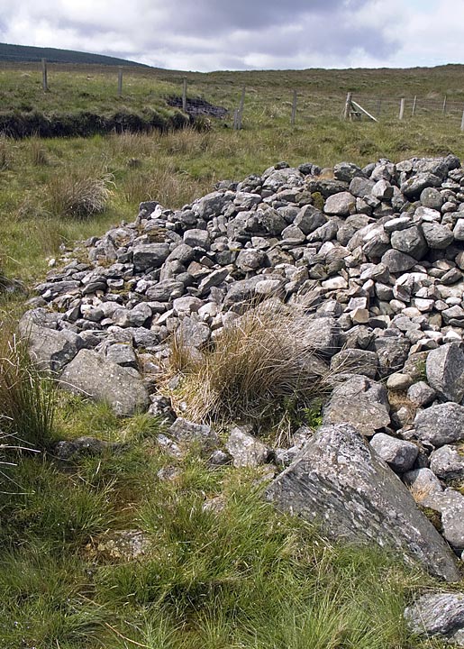
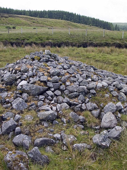
A fairly scruffy cairn of about 10m in diameter, with some of its large kerbstones remaining, seemingly uncovered during turf cutting, like most of the many sites in this townland.
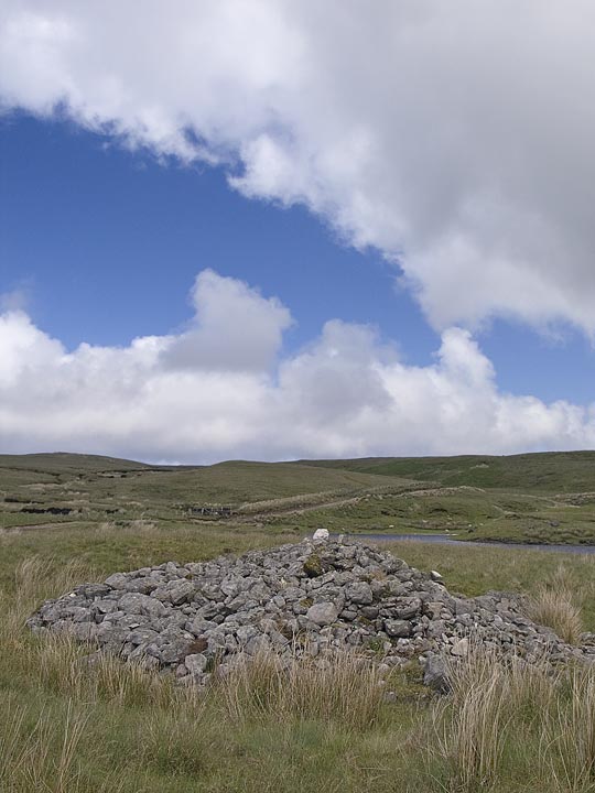
An easy to find site, right on the shore of Loughareema, 'The Vanishing Lake' - so called because it only fills up after periods of heavy rainfall, on the A2 Cushendall Road, just before Ballypatrick forest. Just after the stone 'bridge' across the lough, the road bends sharply left. Just before this bend there's a lane to the right. You'll see the cairn from here, it's just 50 metres away.
From the Northern Ireland Sites and Monuments Record;
The remains of this round cairn stand in a cut away bog, cut 2m outside the edges of the cairn. The cairn has a domed profile measuring 10m NW/SE x 9.8m NE/SW.It is composed of many stones of varying sizes, and has a max height of 1.7m. The kerb is visible in an arc from N-E-S. The site was excavated by Proudfoot (unpublished).