I approached this fort from the disused quarry on Coombe Valley Road to the west of the fort.
Possibly not the best way as it involves scrambling up sheer cliffs and over a fence.
It was obvious others had come this way though, and it did give me the feeling of being an invading Roman (which I quickly shook off, with a shudder!). If you carry on further up Coombe Valley Road there are footpaths for a gentler approach.
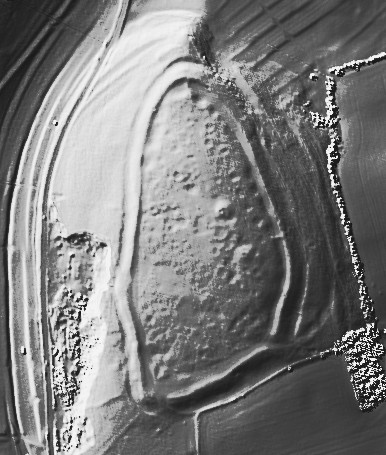
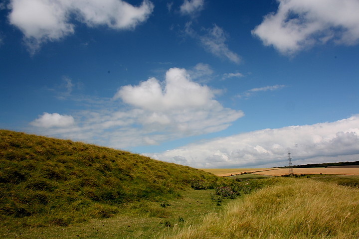
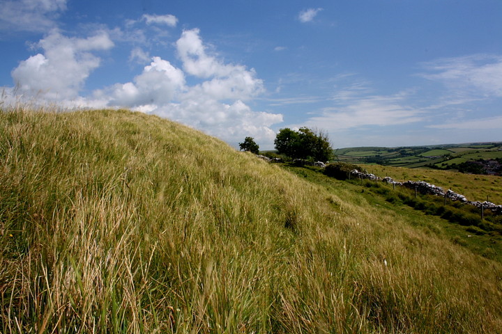
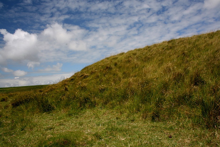
It's a cute, roughly triangular little enclosure of about 4 hectares and was protected by a single ditch and a rampart of limestone slabs, obtained from quarry ditches inside the fort.
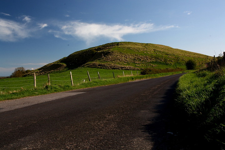
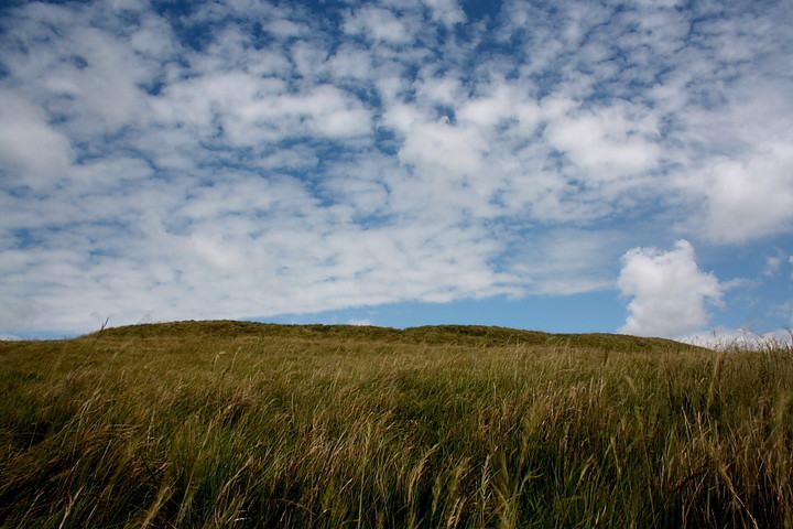
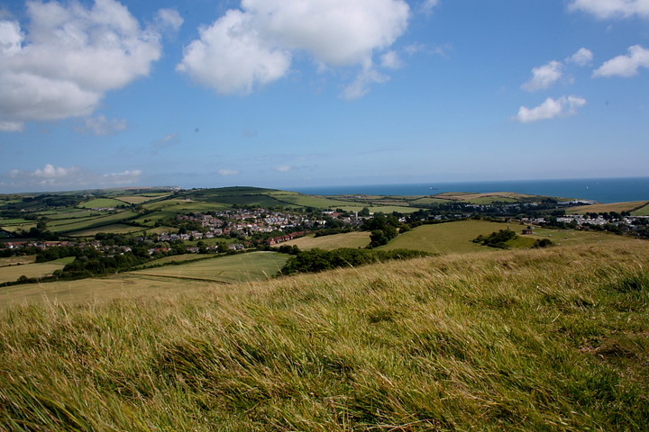
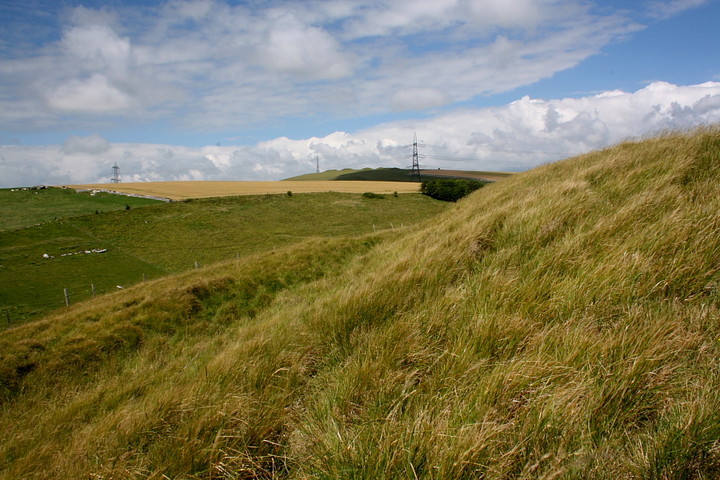
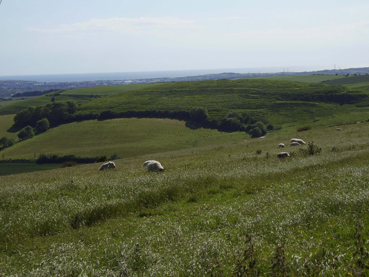
There is an entrance on the South East side and many hut circles were discovered inside the ramparts that suggest the site was intensively occupied around 450BC. I am just going to have a peek over the western ramparts and then get back to my bike. This fort looks cool from a distance,
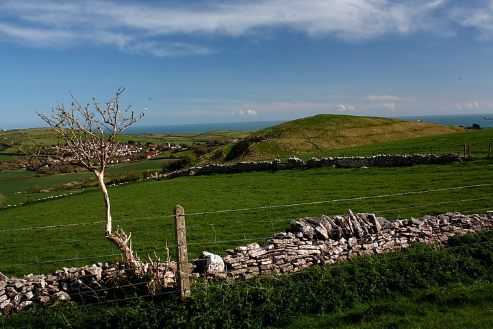
and the view down the valley must have reminded the occupants that this was a land worth defending.
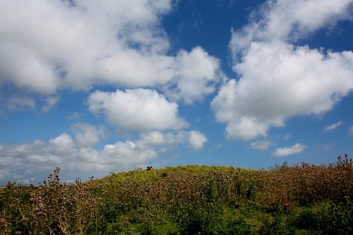
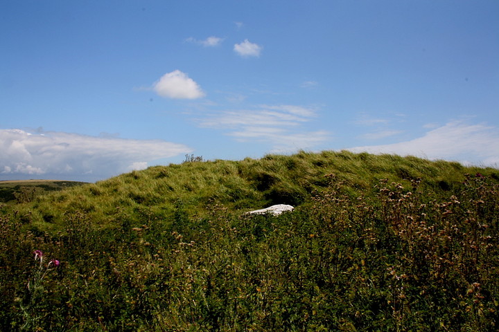
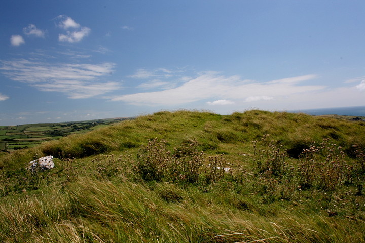
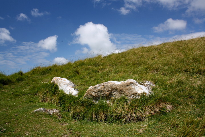
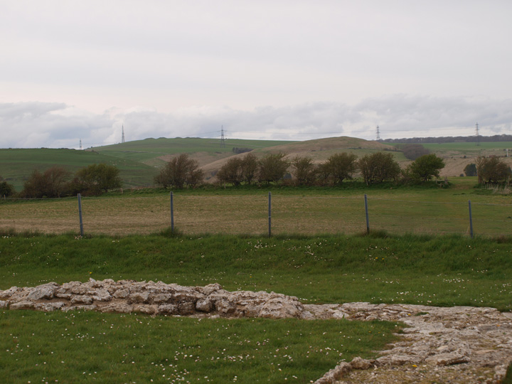
There are some barrows within the ramparts also, but I know nothing about them.
http://www.roman-britain.org/places/celtic/chalbury.htm
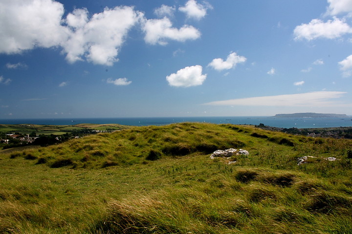
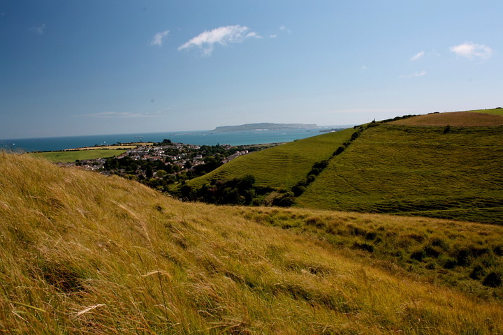
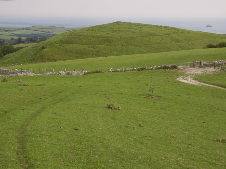
This pear-shaped fort is positioned atop a very steep hill dominating Weymouth Bay. Defenses consist of a single, 6m thick bank of rubble encased in drystone, and a flat-bottomed ditch with a simple entrance gap on the south-east. The hillfort defences were started sometime during the 5th century BC. Over 70 hut circles and numerous storage pits have been traced in the interior, and excavations at the site revealed a scatter of disarticulated human remains, which indicates exposure of the dead. The fort was very-likely the scene of - ultimately futile - resistance to the Roman advance through the area; this was presumably when occupation of the fort ended. There are many barrows and tumuli in the neighbourhood, including 2 Bronze Age round barrows at the centre of the fort itself, one of which contained a cremation burial.