The Modern Antiquarian. Stone Circles, Ancient Sites, Neolithic Monuments, Ancient Monuments, Prehistoric Sites, Megalithic MysteriesThe Modern Antiquarian


Castle Stead

Hillfort

<b>Castle Stead</b>Posted by matthewpemmottImage © Matthew Emmott
Nearest Town:Kendal (5km NNW)
OS Ref (GB):   SD530888 / Sheet: 97
Latitude:54° 17' 32.63" N
Longitude:   2° 43' 19.78" W

Added by matthewpemmott


Discussion Topics0 discussions
Start a topic


Show map   (inline Google Map)

Images (click to view fullsize)

Add an image Add an image
<b>Castle Stead</b>Posted by matthewpemmott <b>Castle Stead</b>Posted by matthewpemmott <b>Castle Stead</b>Posted by matthewpemmott <b>Castle Stead</b>Posted by matthewpemmott <b>Castle Stead</b>Posted by matthewpemmott <b>Castle Stead</b>Posted by matthewpemmott

Fieldnotes

Add fieldnotes Add fieldnotes
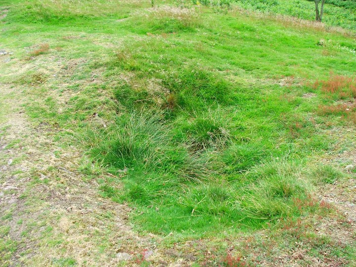
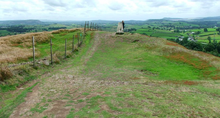
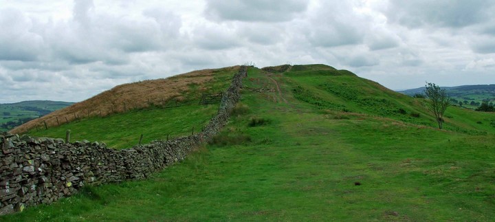
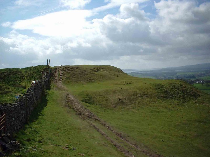
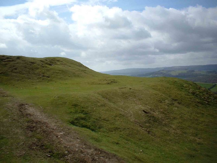
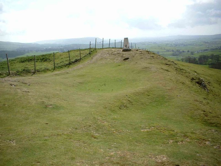
Not readily identifiable as a hill fort, although it's clearly marked as such on many maps. The summit of the fort is slightly scooped and there's a trig point situated up there. Apparently there are small holes in the lime stone at the foot of the earthworks each side of the summit, allegedly to collect rainwater, although these weren't visible at my last visit. It's clear to see why this would have been chosen as the site for a fort. You get good clear views in all directions, with a good water supply about four hundred yards down in the valley. Posted by matthewpemmott
15th January 2007ce