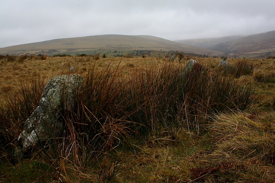
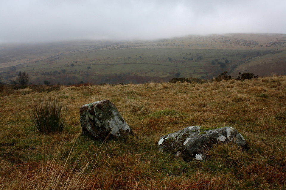
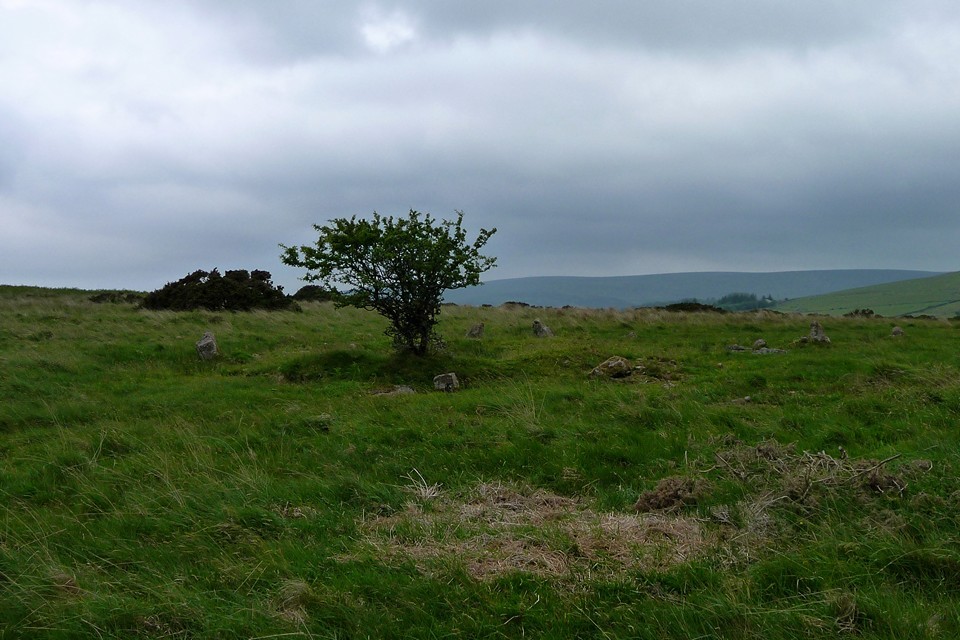
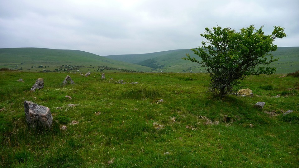
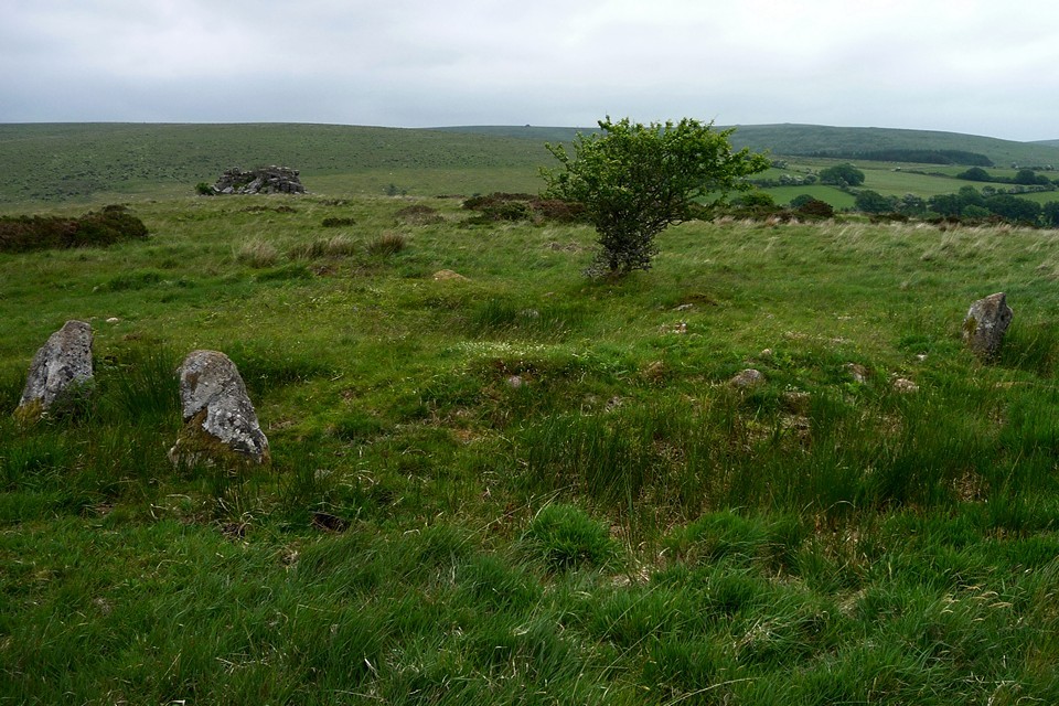
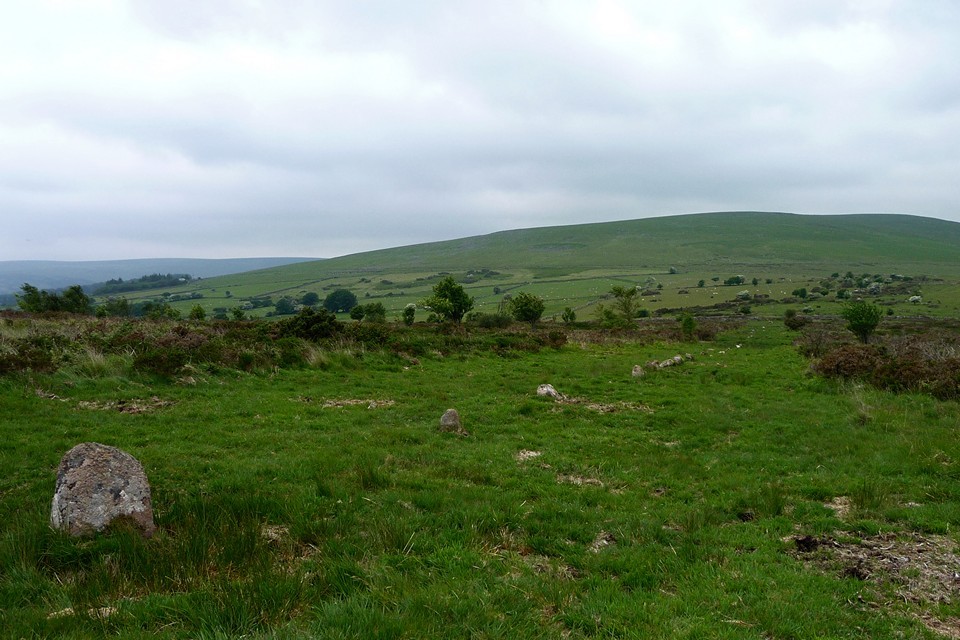
I followed the river path at Harford Bridge and a cow path up to Tristis Stone. The Chambered Cairn is 70 yards W of Tristis Stone and the Cairn Circle a further 90 yards west.
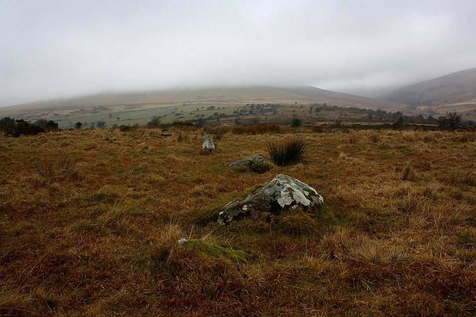
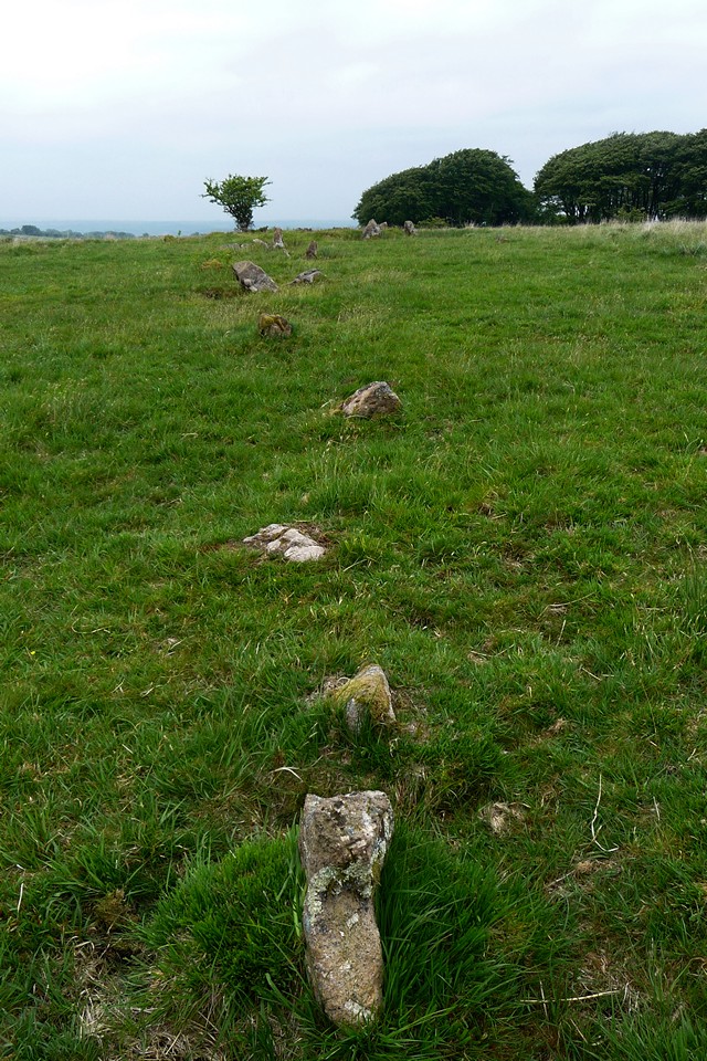
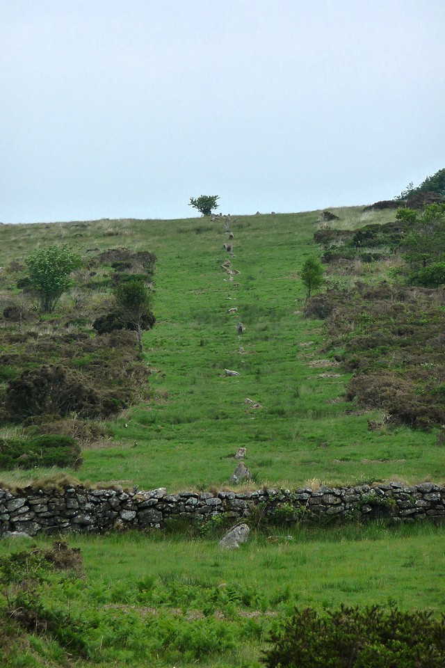
I followed the stone row downhill (due N) for 220 yards and c. 80 stones when i ran into extensive gorse and lost the trail.
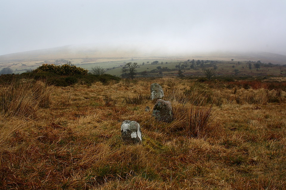
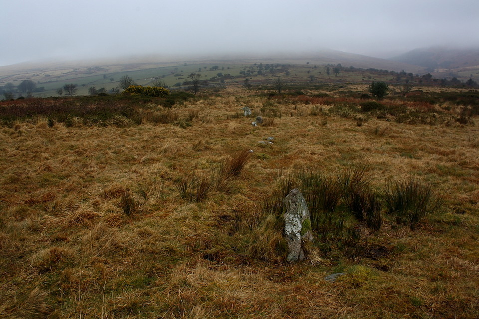
The size of stones in the row varied from inches above ground to three feet.
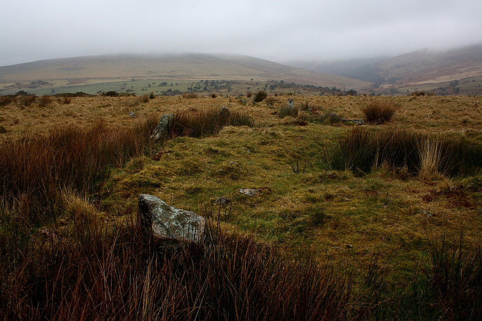
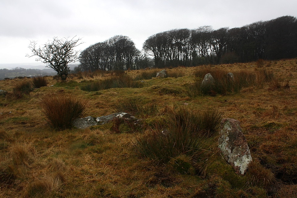
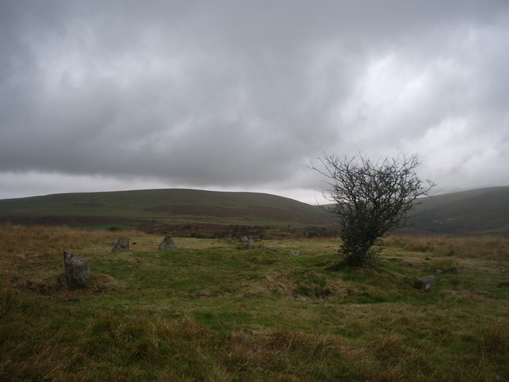
The final row of the day climbs Burford Down, towards a visible terminal cairn circle at the high point of the hill. This last site pulls my tired legs onwards. As the row climbs the hill, I turn around for a last look towards Stalldown behind, what a wonderful landscape this is.
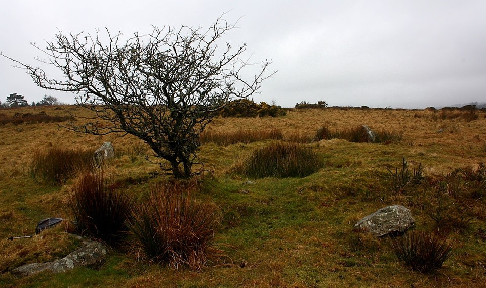
The terminal cairn-circle isn't a match for the Dancers. There is a hollowed mound in its centre and many of the stones are missing or fallen, but this is still a grand enough way to finish the row.
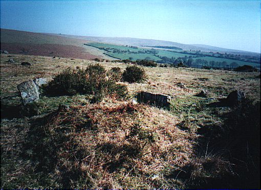
The row is about 500m long and has a ring cairn at its southern end, a fallen terminal pillar at its northern end. It is intersected by a leat and a field wall in the northern section.
Park at Harford and follow the river up the valley. This N-S row is about 500m long and is the southernmost of the the three rows which stretch out into the Erme valley. The stones are often small, but fairly evenly spaced and offer good sport in tracing their line down towards Yadsworthy Waste. A cairn at the southernmost end of the row lies parallel with Tristis Rock which dominates both Burford Down and the lower Erme valley. It rained all day when I visited in July 2003. This was the day that I decided that paying the extra money for a waterproof map was worthwhile after all.
"Crossing's Guide to Dartmoor" (1912) has this to say about the row:
Not far from the rock [Tristis Rock] there is a single stone row which starts from a ruined circle and runs North for a distance of 400 yards and consists of 112 stones (p 401).
Paul Petit's (1974) "Prehistoric Dartmoor" adds the following:
The lower end [Northern] was originally marked by a tall stone, now cut in two. The base is 4ft wide and rsies over 2ft out of the ground at an angle, so that the stone was leaning when cut. Presumably this was done by a mason in search of a gate post who then abandoned it, leaving a slab over 7ft long and tapering to a breadth of 2 and a half ft lying on the ground. It must have been an impressive terminal, comparable to those at Laughter Tor and on Langstone Moor. (p 135)


 Posted by thesweetcheat