|
|

|
|
St Peter's KirkBurnt Mound / Fulacht Fia
|
|
|
|
Images (click to view fullsize) |
|
|
Fieldnotes |
|
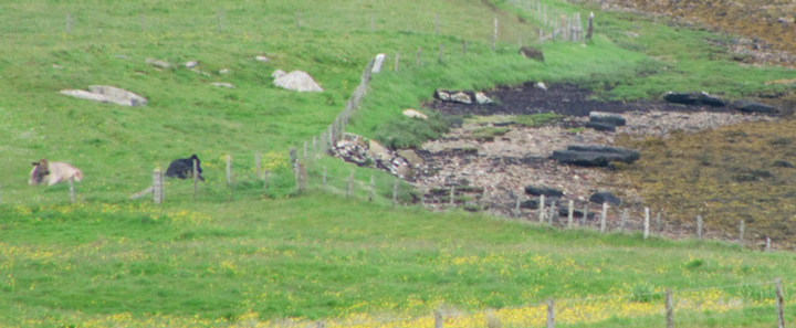
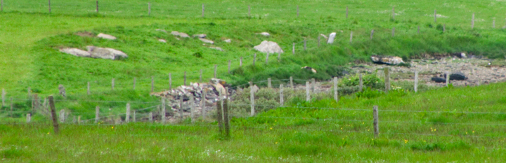
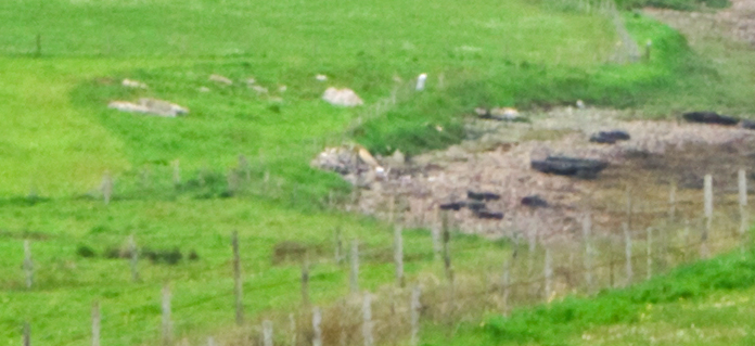
| viewed from main road with equivalent of 520mm lens it is obvious my possible quarry (unmapped ever) is the mound. On the one hand you can see why someone there might think this a burnt mound i.e. crescent-shaped and by water. But from these images it is obvious this is the remains of a large circular mound eaten by the bay. |
12th June 2010ce |
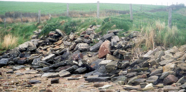
| Nearer Comely than Campston this very low round "indeterminate mound", originally down as a burnt mound without reason, is an insignificant lump in the nearer corner of the field that also holds St.Peter's Kirk, and to the right of a big field boundary drain. Didn't see any of the "protruding large stones" meant to be atop it but saw what struck me as many more stones than just the slumped fieldwall alongside down the 'cliff'. To the left of the drain you might make out two boggy nausts, long disused and one partially infilled in case you wonder then what they are. |
17th May 2004ce |
Miscellaneous |
|
| RCAHMS NMRS record no. HY50SW 8 burnt mound [no support for this being burnt] that has been ploughed down to less than 18" high but I reckon you need to add in the height above the shore |
6th December 2005ce Edited 13th June 2011ce |