The Modern Antiquarian
Log in
|
Register
Home
Latest Posts
Forums
Maps
Help
Browse Sites
News
Blog
Contributors
The Books
Select
-
Belgium
Denmark
Eire
France
Germany
Greece
Italy
The Netherlands
Norway
Portugal
Republic of Malta
Spain
Sweden
Switzerland
United Kingdom
County Leitrim
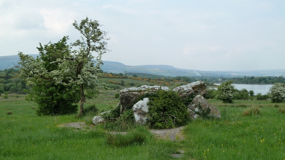
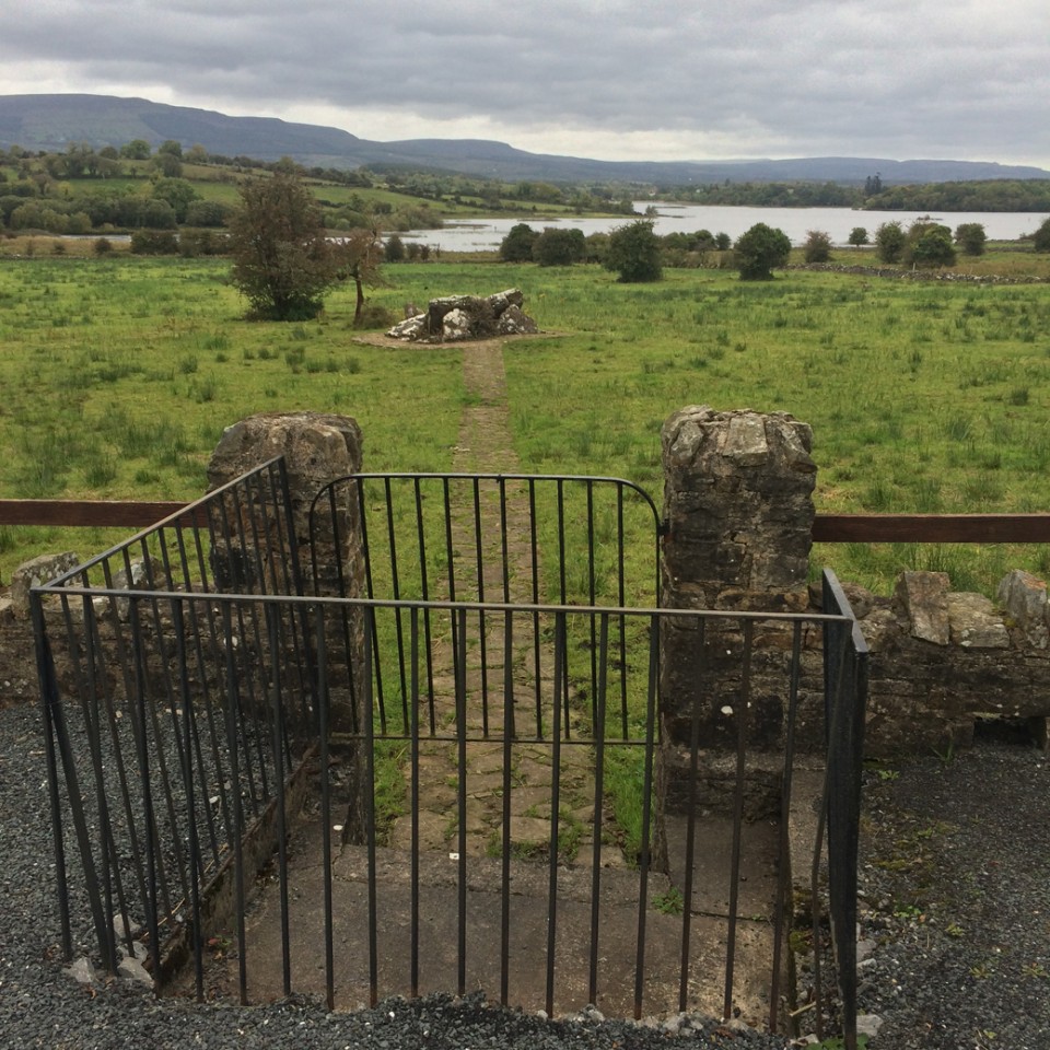
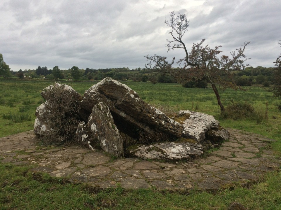
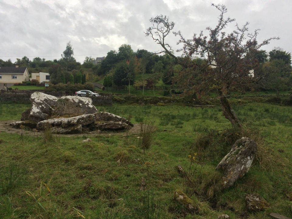
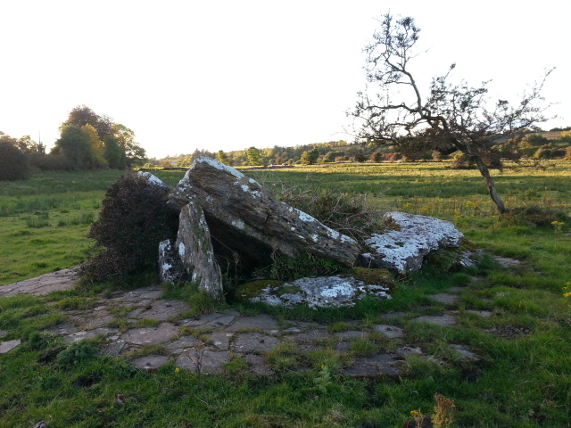
Loughscur
Portal Tomb
Loughscur (Portal Tomb) on The Modern Antiquarian, the UK & Ireland's most popular megalithic community website. 7 images, plus information on many more ancient sites nearby and across the UK & Ireland.
Image © Charles Coughlan
Nearest Town:
Drumshanbo (6km WNW)
OS Ref (IE):
H023078 /
Sheet: 33
Latitude:
54° 1' 9.65" N
Longitude:
7° 57' 53.66" W
Added by
FourWinds
Images (7)
1 discussion topic
Start a topic
Show |
Hide
Web searches for Loughscur
Flickr
Google
Google Images
The Megalithic Portal
Bing
Stone Pages
Wikipedia
Show map
(inline Google Map)
- Sites within 20 km -
-
Loughscur (0.28km WNW) (4 posts)
Sheebeg (0.92km SSE) (4 posts)
Edenmore (2.21km SW) (0 posts)
Sheemore (4.37km SW) (8 posts)
Drumany (4.87km ENE) (7 posts)
Drumany (5.27km ENE) (4 posts)
Churchfield (5.37km ENE) (0 posts)
Derryhallagh (5.42km WNW) (1 post)
Slieve Anierin (7.68km NW) (1 post)
Commons (8.27km E) (11 posts)
Fenagh (Glebe) (8.27km E) (1 post)
Creevy (8.79km ENE) (3 posts)
Fenagh Beg 3 (8.87km ENE) (2 posts)
Fenagh Beg 2 (8.87km ENE) (4 posts)
Fenagh Beg (8.87km ENE) (12 posts)
Fenagh Beg 4 (8.87km ENE) (1 post)
Knockmullin 3 (8.87km ENE) (0 posts)
Knockmullin 2 (8.97km ENE) (0 posts)
Knockmullin 1 (8.98km ENE) (0 posts)
Creevy (9.58km ENE) (3 posts)
Creevy (9.58km ENE) (2 posts)
Keadew East (10.98km W) (0 posts)
Gortinty (11.6km S) (2 posts)
Cartronaglogh (11.73km W) (5 posts)
Kilronan Mountain (11.9km W) (4 posts)
Cleighran More (12.16km NW) (0 posts)
Kilgarve (Boyle By.) (12.43km W) (0 posts)
Cloonfinnan (12.66km SE) (5 posts)
Dromore (12.78km ENE) (1 post)
Knockranny (12.92km W) (4 posts)
Kiltyhugh (13.11km ENE) (1 post)
Cootehall (13.2km WSW) (0 posts)
Creenagh (Mohill By.) (14.89km ESE) (6 posts)
Moylehid (14.97km E) (6 posts)
Usna (15.03km WSW) (3 posts)
Creenagh (Mohill By.) South (15.16km ESE) (0 posts)
Bridgecartron or Derrycashel (15.23km W) (3 posts)
Bridgecartron or Derrycashel (15.38km W) (4 posts)
Druminalass (15.42km NNW) (1 post)
Knockacorha (16.07km SW) (5 posts)
Kilfaughna (16.08km WSW) (3 posts)
Sunnagh More (16.21km ESE) (0 posts)
Killameen (16.47km E) (1 post)
Clooncoe (17.32km SE) (0 posts)
Clogh (17.34km E) (1 post)
Corduff South (18.34km ESE) (2 posts)
Modorragh (19.01km WNW) (0 posts)
Annaghmore (19.26km ESE) (14 posts)
Kilnagarns Lower (19.86km NW) (0 posts)
Kilnagarns Upper (19.86km NW) (0 posts)
Treanmore (Tirerrill By.) (19.89km W) (3 posts)
Cloonmeone Upper (19.9km NW) (5 posts)
- Add -
-
Add news
Add an image
Add fieldnotes
Add folklore
Add miscellaneous
Add a link
-
Add a site
Add a nearby facility
Add an alternative name/spelling
Images
(click to view fullsize)
Add an image
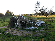 Image © Charles Coughlan