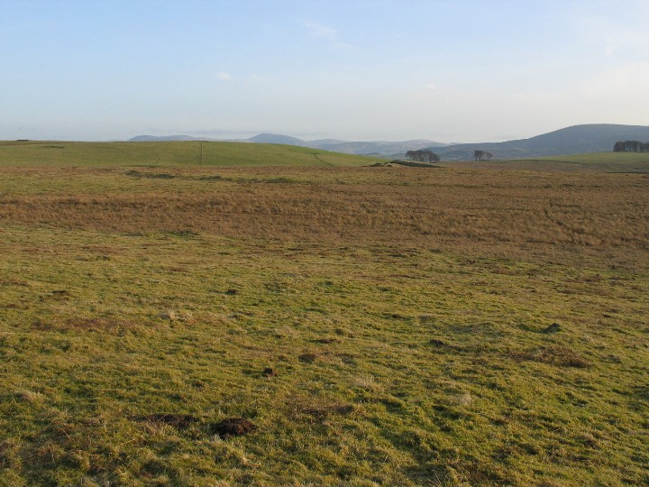
One of the most important Neolithic sites in southern Scotland . Occupying 16 acres of an upland natural amphitheatre there is not a lot to see and the dull pics don't help much either . It is possible to access the site from the road to the nearby quarry but be careful where, you park , lorries use it constantly .
A roughly circular area of 6.5 ha (16 acres) is enclosed by a bank about 11m wide and up to 1.2m high. There is no evidence of a ditch or any entrances. Its area takes in the head of the Blackshouse Burn.
The 1794 Statistical Account reported the finding of some urns containing, probably, cremated bone set in cist-like structures set under the ruins of the bank.
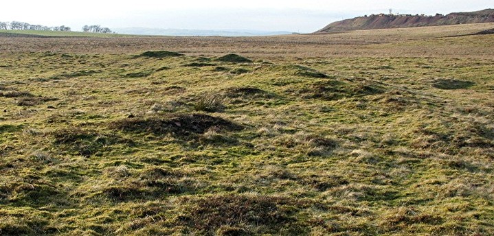
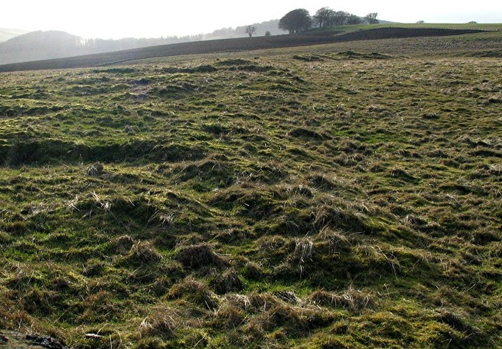
In 1985, a survey of the area revealed that the interior contained 19 mounds and small cairns and was "traversed by a network of trackways and drains of various dates" [Canmore].
A limited excavation of the bank carried out at the same time revealed a sequence of events including the construction of large, upright timber posts on the bank's inner and outer edge the decayed stumps of which produced a late Neolithic radio carbon date.
In 1999, a geophysical survey of western part of the enclosure produced "anomalies which may represent burning events or waterlogged posts used in the bank construction" [Canmore].
To get access, I decided to take advantage of the quarry's proximity. Parking was allowed at their weighbridge from which it was just a short walk across a couple of fields to the site.


 Posted by tiompan
 Posted by greywether