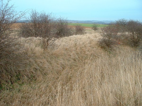
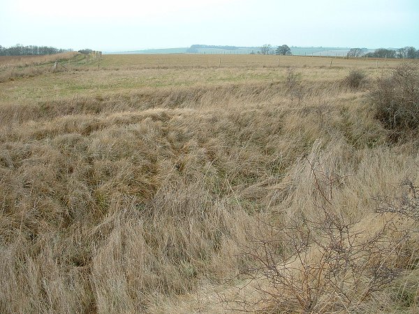
This well preserved set of earthworks is marked on the map as 'fort' and James Dyer calls it an Iron Age Hillfort but I would think it falls more into the category of defended settlement. The best approach to the site is to park on rough land at the start of the track at SK948431, the track then leads uphill and to the southeast. It takes a sharp right turn as the land levels off and continues along the side of a small wood for about 600 metres before turning left and leading 500 metres to the earthwork. The track is rutted and very muddy in places and would be unsuitable for wheelchair users.
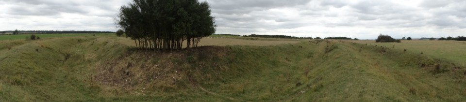
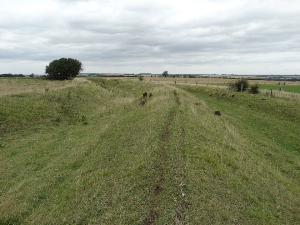
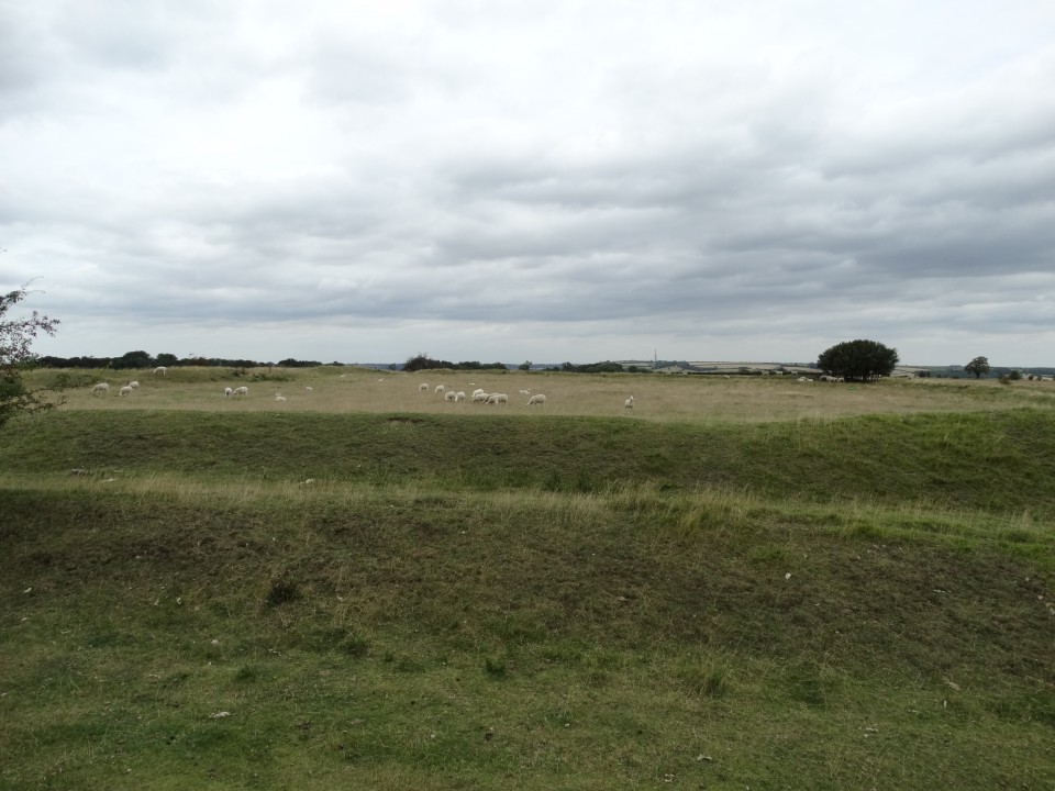
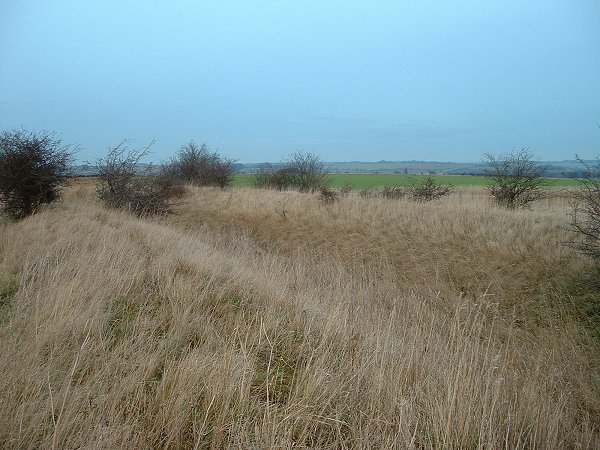
The site sits below and to the northeast of the highest point of Barkston Heath and consists of a small roughly rectangular set of banks and ditches enclosing an area of 0.4-0.5 hectares. The earthworks themselves comprise of an inner bank, ditch, larger central bank, ditch and then a lower outer bank or counterscarp. There is an entrance through the eastern defences and the ditches are still a couple of metres deep in places, the whole site being in remarkably good condition considering its exposed position and the fact that it sits on a gentle slope in good farming land. I can't see that its primary purpose was as a stronghold though, there are some decent views to the north and east but the middle distance view to the west is blocked and that to the south isn't fantastic and anyway the defences look like they could easily be overcome. I got the impression that it would be better suited to a small family group, perhaps farmers who were cultivating the lower slopes to the east that are now taken up with an airfield. Finds from the site include some Roman coins (Ermine Street runs about a mile to the east) as well as remains of (Iron Age?) weapons.

 Posted by Chris Collyer