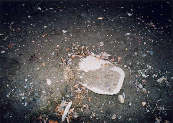
After speaking to the county archaeologist David Strachan, we came to the conclusion that the stone I found half-buried was probably the side-slab of one of the cists that was discovered "many years ago." It was probably stood upright by workmen when the cist was ploughed open to mark the grave, and left standing since then. It doesn't have the appearance of a standing stone, especially if that stone was supposed to have been the remains of a circle.
This doesn't take away from the fact that there may well have been a stone circle on the site at some point, either around the cairn (long since ploughed away) or nearby.
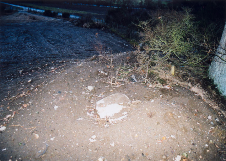
This is a very, very sad site. As if a stone circle being reduced to a single remaining standing stone wasn't bad enough, a tip and quarry have sprung up beside it.
The site originally consisted of a large natural mound o sand and gravel, on top of which, at the western edge (ie closest to the road), was a circle of stones. When the mound was excavated for gravel, several cists containing human remains were found, and also a stone hammer which is now in the National Museum. This quarrying has left little of the mound, the remains of which stand at the top of the bank which rises beside the main road.
CANMORE describes the standing stone as surmounting the summit of the ridge, which should make it just visible from the road, or at the very least from halfway up the bank. CANMORE also mentions that the ridge had been quarried away to within 2m of the stone - that was in 1975. The stone has now fallen, and is half-buried by sand and mud. The remains of the mound seem to be even smaller than described by CANMORE, and it's surely only a matter of time before the mound is destroyed altogether, and the stone thrown to one side. I will be contacting the RCAHMS about this site, in a bid to stop any further damage to the site.
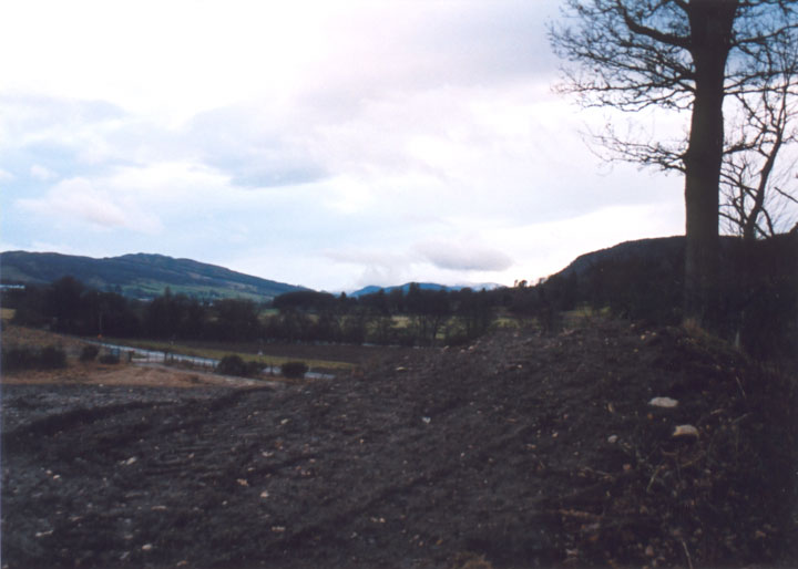
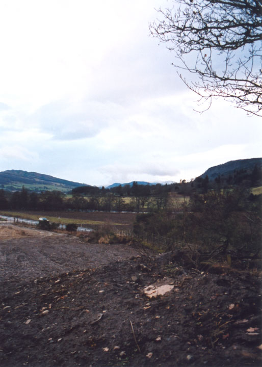
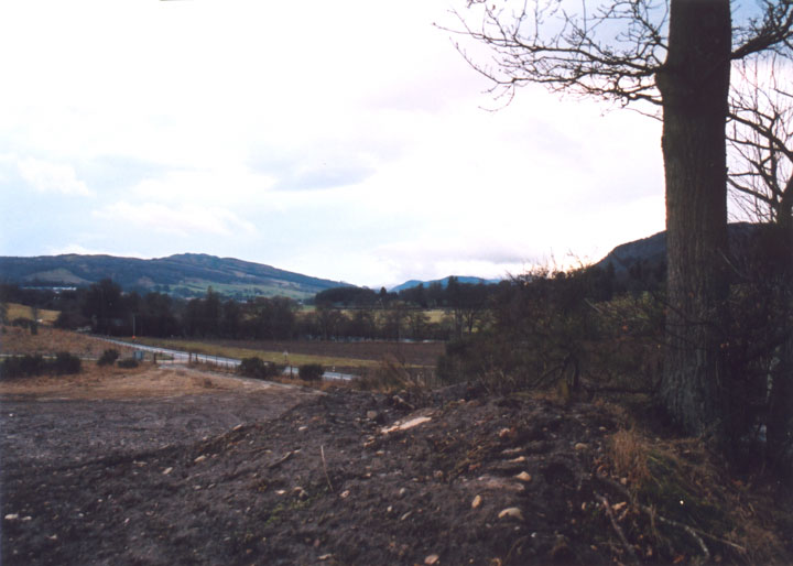
Directions - head east from Aberfeldy on the A827, passing the distillery on your right. Approximately a mile and a half further on is the track up to Cultullich farm, and the large chain-link gates into Cultullich Tip. There's space to park carefully here. Walk along the grass verge beside the main road in the direction you were heading in, until you are level with the highest point of the ridge. Climb over the barbed wire fence here, and climb up the bank. The stone lies on the highest point of the ridge.

 Posted by BigSweetie