Directions:
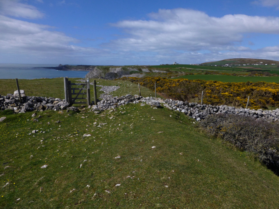
Midway between Thurba cliff/promontory fort and Paviland cave. The Knave fort is a short walk south off the coastal path.
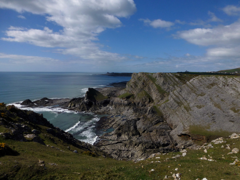
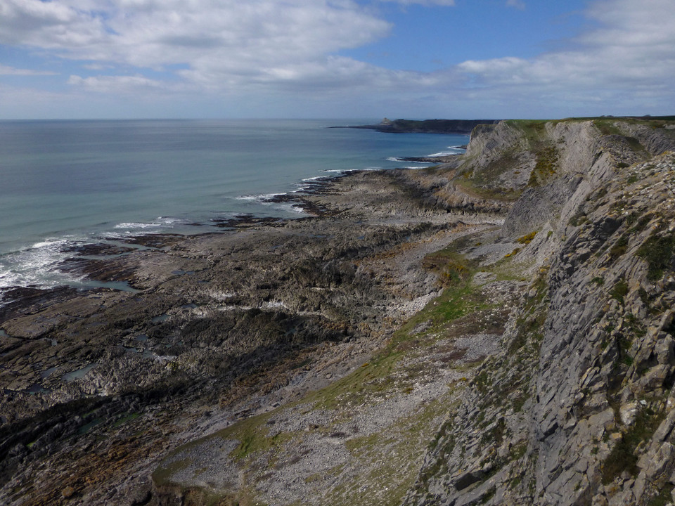
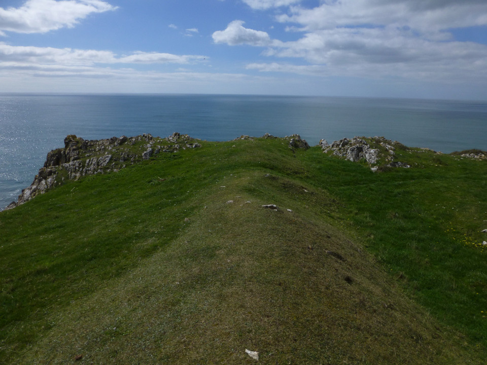
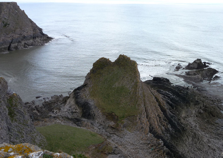
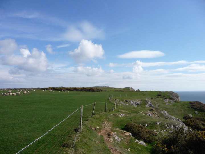
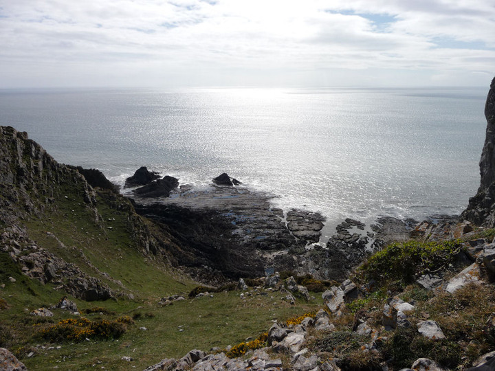
The coastline along this stretch of the Gower is particularly dramatic with the layers of rock forming the cliff rising high out of the water on a steep angle.
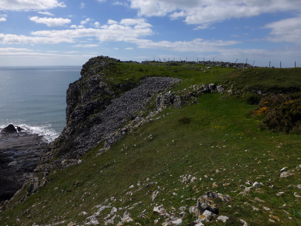
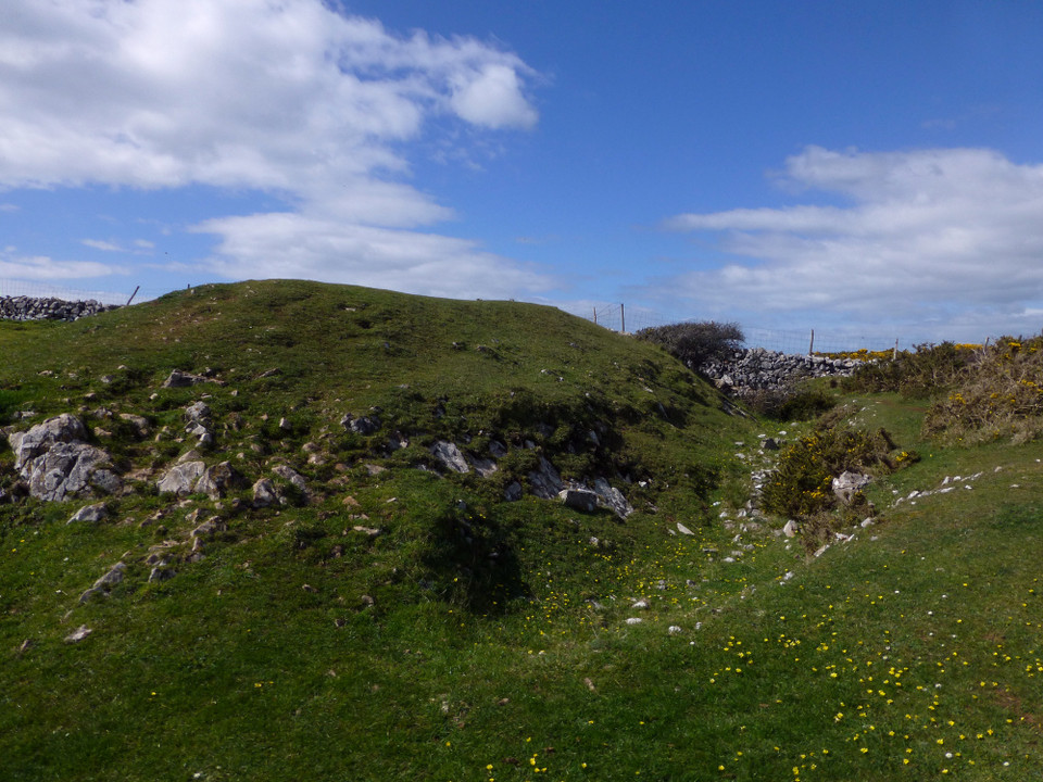
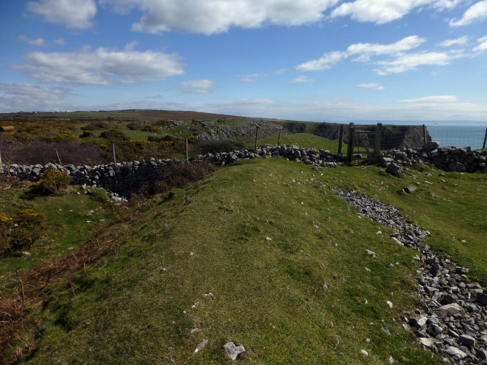
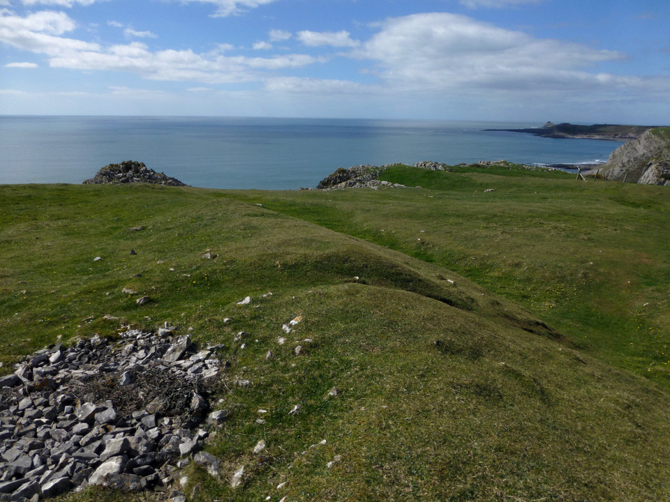
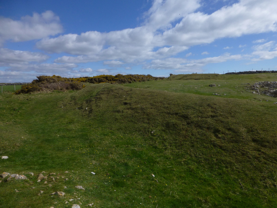
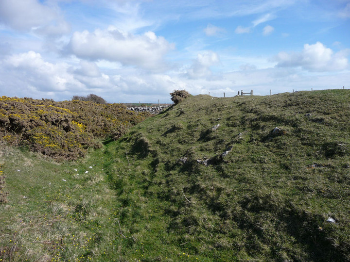
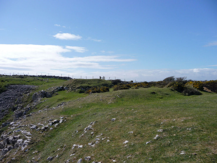
I was able to make out two lines of defence, the outer rampart now about 1m high, with the inner ramparts about 2m high.
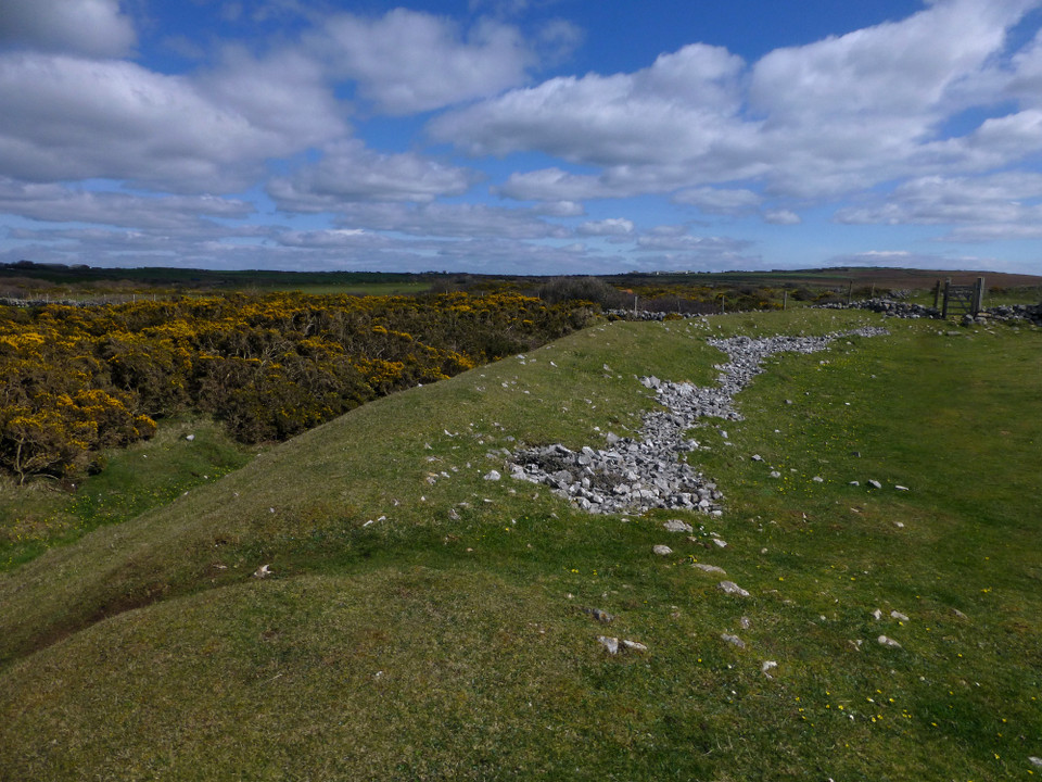
The dreaded gorse covers part of the northern outer defences.
Not much else to add really.
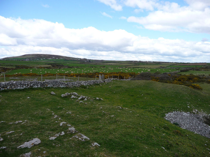
Worth a look when walking this stretch of the coastal path.
Another site I've not visited, the Knave is a semicircular cliff fort with a bank and ditch on the inland side. The site was excavated in 1938 by Audrey Williams, and the remains of two huts were found, one of which had been burnt down. It's thought that the Knave probably only served one or two families because of it's relatively small size.

 Posted by Kammer