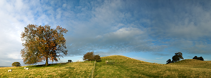
The Modern Antiquarian
Log in
|
Register
Home
Latest Posts
Forums
Maps
Help
Browse Sites
News
Blog
Contributors
The Books
Select
-
Belgium
Denmark
Eire
France
Germany
Greece
Italy
The Netherlands
Norway
Portugal
Republic of Malta
Spain
Sweden
Switzerland
United Kingdom
England
Northern England
Nottinghamshire
Robin Hood's Pot
Round Barrow(s)
Robin Hood's Pot (Round Barrow(s)) on The Modern Antiquarian, the UK & Ireland's most popular megalithic community website. 2 images, plus information on many more ancient sites nearby and across the UK & Ireland.
Image © Padraig McKenna -
purefinder
Nearest Town:
Arnold (9km SSW)
OS Ref (GB):
SK634534 /
Sheet: 120
Latitude:
53° 4' 25.26" N
Longitude:
1° 3' 12.86" W
Added by
Rhiannon
Images (2)
Miscellaneous (1)
0 discussions
Start a topic
Show |
Hide
Web searches for Robin Hood's Pot
Flickr
Google
Google Images
MAGIC
The Megalithic Portal
Bing
Stone Pages
Streetmap.co.uk
Wikipedia
Show map
(inline Google Map)
- Sites within 20 km -
-
Oldox Camp (0.22km SE) (6 posts)
Druid Stone (5.26km W) (2 posts)
Camp Hill (Kirklington) (5.61km NE) (3 posts)
Gunthorpe Bridge (9.91km SE) (5 posts)
Bingham (14.74km SE) (1 post)
Langwith Basset Cave (19.73km WNW) (3 posts)
Hemlock Stone (19.92km SW) (11 posts)
- Facilities within 20 km -
-
Savilles Restaurant, R... (Restaurant: 11.4 km N)
- Add -
-
Add news
Add an image
Add fieldnotes
Add folklore
Add miscellaneous
Add a link
-
Add a site
Add a nearby facility
Add an alternative name/spelling
Images
(click to view fullsize)
Add an image
Miscellaneous
Add miscellaneous
A bronze age burial mound, 18 ft high, 150yds west of the hillfort on Robin Hood's Hill called Oxton Camp.
Comments (0)
|
Add a comment
|
Permalink
Posted by
Rhiannon
20th May 2002ce